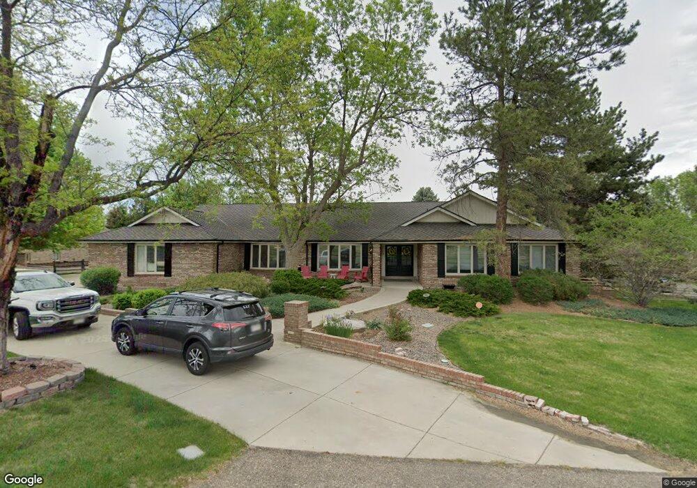
713 Front Range Rd Littleton, CO 80120
Heritage NeighborhoodEstimated Value: $1,279,000 - $1,827,000
4
Beds
7
Baths
3,184
Sq Ft
$472/Sq Ft
Est. Value
About This Home
This home is located at 713 Front Range Rd, Littleton, CO 80120 and is currently estimated at $1,502,406, approximately $471 per square foot. 713 Front Range Rd is a home located in Arapahoe County with nearby schools including Runyon Elementary School, Euclid Middle School, and Heritage High School.
Ownership History
Date
Name
Owned For
Owner Type
Purchase Details
Closed on
Jun 14, 2018
Sold by
Ann Fundingsland Jr Ernest L and Ann Fundingslandd Georgia
Bought by
Round Brett A and Round Malia C
Current Estimated Value
Home Financials for this Owner
Home Financials are based on the most recent Mortgage that was taken out on this home.
Original Mortgage
$489,100
Outstanding Balance
$422,990
Interest Rate
4.5%
Mortgage Type
New Conventional
Estimated Equity
$1,079,416
Purchase Details
Closed on
Jan 1, 1980
Sold by
Conversion Arapco
Bought by
Conversion Arapco
Purchase Details
Closed on
Jul 4, 1776
Bought by
Conversion Arapco
Create a Home Valuation Report for This Property
The Home Valuation Report is an in-depth analysis detailing your home's value as well as a comparison with similar homes in the area
Home Values in the Area
Average Home Value in this Area
Purchase History
| Date | Buyer | Sale Price | Title Company |
|---|---|---|---|
| Round Brett A | $832,000 | Land Title Guarantee Co | |
| Conversion Arapco | -- | -- | |
| Conversion Arapco | -- | -- |
Source: Public Records
Mortgage History
| Date | Status | Borrower | Loan Amount |
|---|---|---|---|
| Open | Round Brett A | $489,100 |
Source: Public Records
Tax History Compared to Growth
Tax History
| Year | Tax Paid | Tax Assessment Tax Assessment Total Assessment is a certain percentage of the fair market value that is determined by local assessors to be the total taxable value of land and additions on the property. | Land | Improvement |
|---|---|---|---|---|
| 2024 | $10,266 | $101,820 | -- | -- |
| 2023 | $10,266 | $101,820 | $0 | $0 |
| 2022 | $8,914 | $82,935 | $0 | $0 |
| 2021 | $7,931 | $82,935 | $0 | $0 |
| 2020 | $6,242 | $66,445 | $0 | $0 |
| 2019 | $5,489 | $66,445 | $0 | $0 |
| 2018 | $4,181 | $55,210 | $0 | $0 |
| 2017 | $3,874 | $55,210 | $0 | $0 |
| 2016 | $5,473 | $73,121 | $0 | $0 |
| 2015 | $5,487 | $73,121 | $0 | $0 |
| 2014 | -- | $57,686 | $0 | $0 |
| 2013 | -- | $60,760 | $0 | $0 |
Source: Public Records
Map
Nearby Homes
- 7019 S Windermere St
- 1540 W Briarwood Ave
- 6664 S Datura St
- 7391 S Costilla St
- 1705 W Hinsdale Place
- 7070 S Lakeview St
- 7006 S Elati St
- 7652 S Gallup Ct
- 6511 S Cedar St
- 707 W Easter Ave
- 2418 W Euclid Ave
- 2443 W Sunset Dr
- 2812 W Davies Dr
- 6483 S Sycamore St
- 7132 S Bryant St Unit 232
- 6921 S Bryant St
- 7420 S Houstoun Waring Cir
- 2979 W Rowland Place
- 7949 S Cedar Cir
- 2957 W Rowland Ave
- 706 Front Range Rd
- 715 Front Range Rd
- 693 Front Range Rd
- 703 Front Range Rd
- 555 Front Range Rd
- 7047 S Louthan Cir
- 1856 W Davies Ave
- 721 Front Range Rd
- 590 Front Range Rd
- 1886 W Davies Ave
- 1846 W Davies Ave
- 540 Front Range Rd
- 1896 W Davies Ave
- 7037 S Louthan Cir
- 7048 S Louthan Cir
- 745 Front Range Rd
- 1826 W Davies Ave
- 683 Front Range Rd
- 1875 W Davies Ave
- 7059 S Windermere St