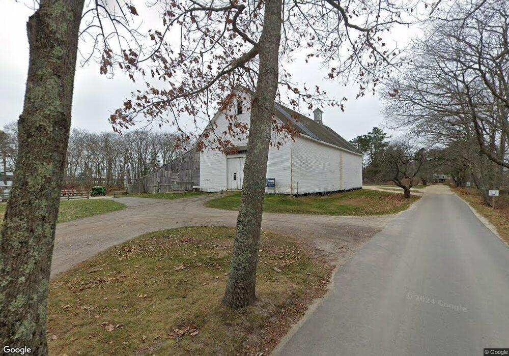
713 Wolfes Neck Rd Freeport, ME 04032
Estimated Value: $1,140,000 - $1,680,000
2
Beds
1
Bath
1,654
Sq Ft
$818/Sq Ft
Est. Value
About This Home
This home is located at 713 Wolfes Neck Rd, Freeport, ME 04032 and is currently estimated at $1,352,708, approximately $817 per square foot. 713 Wolfes Neck Rd is a home with nearby schools including Morse Street School, Mast Landing School, and Freeport Middle School.
Ownership History
Date
Name
Owned For
Owner Type
Purchase Details
Closed on
Jan 6, 2009
Sold by
Preston Donald G and Preston Amy C
Bought by
Siemen Scott D and Siemen Kathleen M
Current Estimated Value
Home Financials for this Owner
Home Financials are based on the most recent Mortgage that was taken out on this home.
Original Mortgage
$417,000
Interest Rate
6.08%
Mortgage Type
Purchase Money Mortgage
Create a Home Valuation Report for This Property
The Home Valuation Report is an in-depth analysis detailing your home's value as well as a comparison with similar homes in the area
Home Values in the Area
Average Home Value in this Area
Purchase History
| Date | Buyer | Sale Price | Title Company |
|---|---|---|---|
| Siemen Scott D | -- | -- | |
| Siemen Scott D | -- | -- |
Source: Public Records
Mortgage History
| Date | Status | Borrower | Loan Amount |
|---|---|---|---|
| Open | Siemen Scott D | $417,000 | |
| Closed | Siemen Scott D | $417,000 |
Source: Public Records
Tax History Compared to Growth
Tax History
| Year | Tax Paid | Tax Assessment Tax Assessment Total Assessment is a certain percentage of the fair market value that is determined by local assessors to be the total taxable value of land and additions on the property. | Land | Improvement |
|---|---|---|---|---|
| 2024 | $15,353 | $1,150,000 | $1,044,300 | $105,700 |
| 2023 | $14,356 | $1,044,100 | $949,400 | $94,700 |
| 2022 | $12,637 | $925,800 | $848,100 | $77,700 |
| 2021 | $12,359 | $925,800 | $848,100 | $77,700 |
| 2020 | $12,015 | $858,200 | $785,200 | $73,000 |
| 2019 | $11,566 | $808,800 | $740,800 | $68,000 |
| 2018 | $11,069 | $735,500 | $677,400 | $58,100 |
| 2017 | $10,748 | $718,900 | $664,000 | $54,900 |
| 2016 | $10,087 | $638,400 | $587,600 | $50,800 |
| 2015 | $9,803 | $583,500 | $537,100 | $46,400 |
| 2014 | $9,219 | $583,500 | $537,100 | $46,400 |
| 2013 | $8,863 | $559,200 | $511,700 | $47,500 |
Source: Public Records
Map
Nearby Homes
- 71 Merganser Way
- 26 Harvest Ridge Rd Unit 24
- 1612 U S Route 1
- 6 Daybreak Ln Unit 18
- 24 Daybreak Ln
- 31 Sequoia Dr
- 15 Sequoia Dr
- 241 Bluff Rd Unit 4
- 20 Blueberry Cove Rd Unit 20
- 393 E Main St
- 203 Bluff Rd Unit 13
- 52 Blueberry Cove Rd Unit 52
- 15 Percy St
- 62 Blueberry Cove Rd Unit 62
- 11 Orchard Hill Rd
- 212 Main St
- 10 Durham Rd
- 83 Central Ave
- 149 E Main St Unit 7
- 275 Littlejohn Rd
- 715 Wolfes Neck Rd
- 711 Wolfes Neck Rd
- 707 Wolfes Neck Rd
- 5 Bay View Dr
- 6 Bay View Dr
- 703 Wolfes Neck Rd
- 675 Wolfe's Neck Rd
- 736 Wolfes Neck Rd
- 740 Wolfes Neck Rd
- 738 Wolfes Neck Rd
- 742 Wolfes Neck Rd
- 14 Stanley Ln
- 17 Lmc Ln
- 647 Wolfes Neck Rd
- 645 Wolfes Neck Rd
- 642 Wolfes Neck Rd
- Lot 70 Bustins Island
- 1 Pound of Tea Island
- Pound of Tea Island