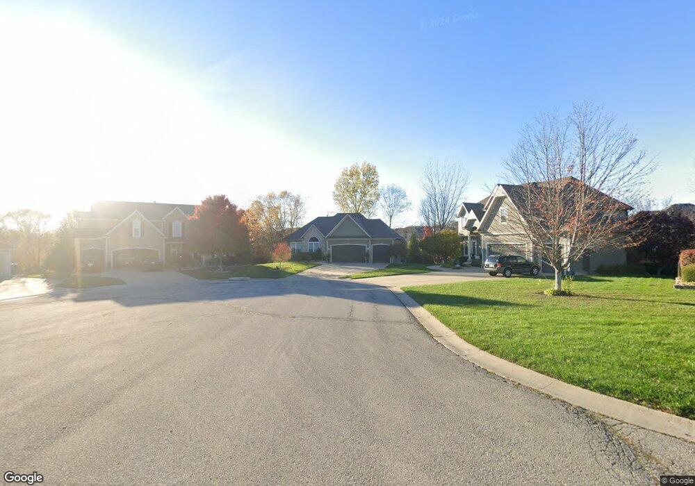
714 Canyon View Dr Lansing, KS 66043
Estimated Value: $423,000 - $440,000
3
Beds
3
Baths
1,734
Sq Ft
$250/Sq Ft
Est. Value
About This Home
This home is located at 714 Canyon View Dr, Lansing, KS 66043 and is currently estimated at $433,244, approximately $249 per square foot. 714 Canyon View Dr is a home located in Leavenworth County with nearby schools including Lansing Elementary School, Lansing Middle 6-8, and Lansing High 9-12.
Ownership History
Date
Name
Owned For
Owner Type
Purchase Details
Closed on
Sep 25, 2009
Sold by
Goodwin Dawson S and Goodwin Mary G
Bought by
Albright Steven J and Albright Marsha M
Current Estimated Value
Home Financials for this Owner
Home Financials are based on the most recent Mortgage that was taken out on this home.
Original Mortgage
$356,000
Outstanding Balance
$232,937
Interest Rate
5.12%
Mortgage Type
New Conventional
Estimated Equity
$200,307
Create a Home Valuation Report for This Property
The Home Valuation Report is an in-depth analysis detailing your home's value as well as a comparison with similar homes in the area
Home Values in the Area
Average Home Value in this Area
Purchase History
| Date | Buyer | Sale Price | Title Company |
|---|---|---|---|
| Albright Steven J | $445,000 | Tri-County Title & Abstract Ll |
Source: Public Records
Mortgage History
| Date | Status | Borrower | Loan Amount |
|---|---|---|---|
| Open | Albright Steven J | $356,000 |
Source: Public Records
Tax History Compared to Growth
Tax History
| Year | Tax Paid | Tax Assessment Tax Assessment Total Assessment is a certain percentage of the fair market value that is determined by local assessors to be the total taxable value of land and additions on the property. | Land | Improvement |
|---|---|---|---|---|
| 2025 | $6,422 | $49,287 | $5,908 | $43,379 |
| 2024 | $6,088 | $47,392 | $5,908 | $41,484 |
| 2023 | $6,088 | $46,656 | $5,908 | $40,748 |
| 2022 | $5,789 | $41,952 | $4,989 | $36,963 |
| 2021 | $5,454 | $37,795 | $4,989 | $32,806 |
| 2020 | $5,278 | $35,995 | $4,989 | $31,006 |
| 2019 | $5,285 | $35,995 | $4,989 | $31,006 |
| 2018 | $5,027 | $34,271 | $4,989 | $29,282 |
| 2017 | $4,891 | $33,273 | $4,989 | $28,284 |
| 2016 | $4,893 | $33,273 | $4,989 | $28,284 |
| 2015 | $4,879 | $33,273 | $4,989 | $28,284 |
| 2014 | $4,540 | $31,625 | $4,989 | $26,636 |
Source: Public Records
Map
Nearby Homes
- 875 Clearview Dr
- 866 Clearview Dr
- 1322 Rock Creek Ct
- 833 Rock Creek Dr
- 1221 S Desoto Rd
- 922 Southfork St
- 811 4-H Rd
- 000 4-H Rd
- 24431 139th St
- 13965 Mc Intyre Rd
- 13788 McIntyre1 Rd
- 13788 Mcintyre Rd
- 13788 McIntyre2 Rd
- 527 S Valley Dr
- 401 W Olive St
- 104 Olive St
- 522 Forestglen Ln
- 23802 140th St
- 202 S Main St
- 124 S Main St
- 712 Canyon View Dr
- 716 Canyon View Dr
- 885 Clearview Dr
- 883 Clearview Dr
- 710 Canyon View Dr
- 718 Canyon View Dr
- 887 Clearview Dr
- 879 Clearview Dr
- 708 Canyon View Dr
- 716 Rock Creek Dr
- 714 Rock Creek Dr
- 712 Rock Creek Dr
- 830 Rock Creek Dr
- 709 Canyon View Dr
- 710 Rock Creek Dr
- 707 Canyon View Dr
- 888 Clearview Dr
- 884 Clearview Dr
- 711 Canyon View Dr
- 832 Rock Creek Dr