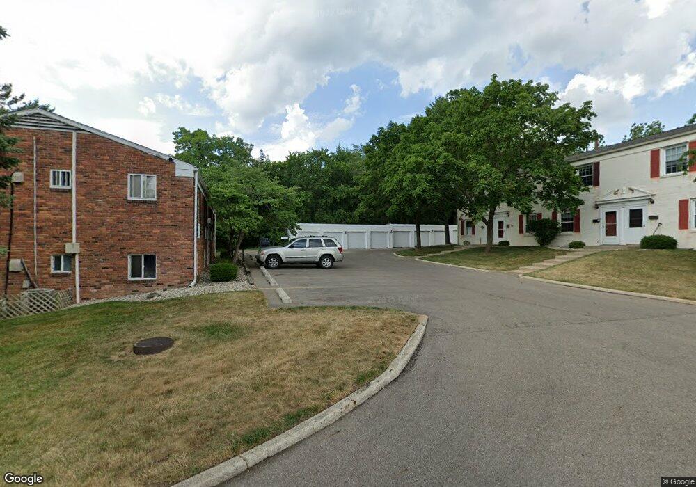
714 Garland Cir Unit A Kalamazoo, MI 49008
Westnedge Hill NeighborhoodEstimated Value: $111,279 - $128,000
2
Beds
1
Bath
870
Sq Ft
$138/Sq Ft
Est. Value
About This Home
This home is located at 714 Garland Cir Unit A, Kalamazoo, MI 49008 and is currently estimated at $120,320, approximately $138 per square foot. 714 Garland Cir Unit A is a home located in Kalamazoo County with nearby schools including Parkwood-Upjohn Elementary School, Milwood Magnet School, and Loy Norrix High School.
Ownership History
Date
Name
Owned For
Owner Type
Purchase Details
Closed on
Feb 5, 2010
Sold by
Nicolai Dominic Mark and Nicolai Molly K
Bought by
Zylman Sue E
Current Estimated Value
Home Financials for this Owner
Home Financials are based on the most recent Mortgage that was taken out on this home.
Original Mortgage
$52,401
Interest Rate
5.1%
Mortgage Type
FHA
Purchase Details
Closed on
Oct 30, 2008
Sold by
Secretary Of Housing & Urban Development
Bought by
Nicolai Dominic Mark and Nicolai Molly K
Purchase Details
Closed on
Jan 28, 2008
Sold by
Us Bank Na
Bought by
Hud
Create a Home Valuation Report for This Property
The Home Valuation Report is an in-depth analysis detailing your home's value as well as a comparison with similar homes in the area
Home Values in the Area
Average Home Value in this Area
Purchase History
| Date | Buyer | Sale Price | Title Company |
|---|---|---|---|
| Zylman Sue E | $57,500 | Chicago Title | |
| Nicolai Dominic Mark | $34,100 | None Available | |
| Hud | -- | None Available |
Source: Public Records
Mortgage History
| Date | Status | Borrower | Loan Amount |
|---|---|---|---|
| Previous Owner | Zylman Sue E | $52,401 |
Source: Public Records
Tax History Compared to Growth
Tax History
| Year | Tax Paid | Tax Assessment Tax Assessment Total Assessment is a certain percentage of the fair market value that is determined by local assessors to be the total taxable value of land and additions on the property. | Land | Improvement |
|---|---|---|---|---|
| 2025 | $818 | $44,200 | $0 | $0 |
| 2024 | $794 | $40,000 | $0 | $0 |
| 2023 | $757 | $35,600 | $0 | $0 |
| 2022 | $1,290 | $31,600 | $0 | $0 |
| 2021 | $1,247 | $28,700 | $0 | $0 |
| 2020 | $1,222 | $27,600 | $0 | $0 |
| 2019 | $1,165 | $23,800 | $0 | $0 |
| 2018 | $1,137 | $27,200 | $0 | $0 |
| 2017 | $1,168 | $29,200 | $0 | $0 |
| 2016 | $1,168 | $22,600 | $0 | $0 |
| 2015 | $1,168 | $22,600 | $0 | $0 |
| 2014 | $1,168 | $21,900 | $0 | $0 |
Source: Public Records
Map
Nearby Homes
- 2825 Duke St
- 448 Whitcomb St
- 453 Fairview Ave
- 2705 Bronson Blvd
- 2731 Bronson Blvd
- 729 Edgemoor Ave
- 405 Edgemoor Ave
- 1817 S Westnedge Ave
- 1813 S Westnedge Ave
- 1813, 1817 S Westnedge Ave
- 616 Lynn Ave Unit 23
- 616 Lynn Ave Unit 24
- 616 Lynn Ave Unit 31
- 2338 Glenwood Dr
- 2340 Springhill Dr
- 1316 S Park St
- 2313 S Westnedge Ave
- 2307 Crane Ave
- 1028 Clover St
- 117 Edgemoor Ave
- 714 Garland Cir Unit D
- 714 Garland Cir Unit C
- 714 Garland Cir Unit F
- 714 Garland Cir Unit E
- 714 Garland Cir Unit 48
- 714 Garland Cir
- 715 Whitcomb St Unit E
- 723 Whitcomb St Unit E
- 715 Whitcomb St Unit B
- 715 Whitcomb St Unit A
- 723 Whitcomb St Unit B
- 723 Whitcomb St Unit A
- 715 Whitcomb St Unit D
- 715 Whitcomb St Unit C
- 723 Whitcomb St Unit D
- 723 Whitcomb St Unit C
- 715 Whitcomb St Unit A
- 723 Whitcomb St Unit F
- 723 Whitcomb St Unit D
- 723 Whitcomb St Unit Suite F