Estimated Value: $615,000 - $822,000
2
Beds
2
Baths
753
Sq Ft
$939/Sq Ft
Est. Value
About This Home
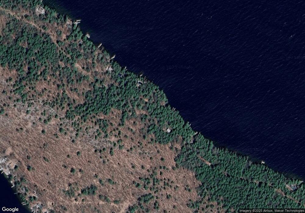
This home is located at 714 Rattlesnake Island, Alton, NH 03810 and is currently estimated at $707,377, approximately $939 per square foot. 714 Rattlesnake Island is a home located in Belknap County with nearby schools including Alton Central School (Elem) and Prospect Mountain High School.
Ownership History
Date
Name
Owned For
Owner Type
Purchase Details
Closed on
Feb 6, 2014
Sold by
Cote Paul F and Cote Celia B
Bought by
Paul F & Celia Cote Ret
Current Estimated Value
Purchase Details
Closed on
Jun 23, 2003
Sold by
Denoncourt Edward J and Denoncourt Linda M
Bought by
Cote Paul F and Cote Celia B
Home Financials for this Owner
Home Financials are based on the most recent Mortgage that was taken out on this home.
Original Mortgage
$175,000
Interest Rate
5.71%
Create a Home Valuation Report for This Property
The Home Valuation Report is an in-depth analysis detailing your home's value as well as a comparison with similar homes in the area
Home Values in the Area
Average Home Value in this Area
Purchase History
| Date | Buyer | Sale Price | Title Company |
|---|---|---|---|
| Paul F & Celia Cote Ret | -- | -- | |
| Cote Paul F | $219,100 | -- |
Source: Public Records
Mortgage History
| Date | Status | Borrower | Loan Amount |
|---|---|---|---|
| Previous Owner | Cote Paul F | $170,000 | |
| Previous Owner | Cote Paul F | $175,000 |
Source: Public Records
Tax History Compared to Growth
Tax History
| Year | Tax Paid | Tax Assessment Tax Assessment Total Assessment is a certain percentage of the fair market value that is determined by local assessors to be the total taxable value of land and additions on the property. | Land | Improvement |
|---|---|---|---|---|
| 2024 | $5,944 | $457,900 | $375,900 | $82,000 |
| 2022 | $5,206 | $457,900 | $375,900 | $82,000 |
| 2021 | $5,211 | $457,900 | $375,900 | $82,000 |
| 2020 | $3,315 | $237,600 | $136,700 | $100,900 |
| 2019 | $2,972 | $237,600 | $136,700 | $100,900 |
| 2018 | $3,324 | $237,600 | $136,700 | $100,900 |
| 2017 | $3,056 | $237,600 | $136,700 | $100,900 |
| 2016 | $2,731 | $193,000 | $117,000 | $76,000 |
| 2015 | $2,754 | $193,000 | $117,000 | $76,000 |
| 2014 | $2,699 | $194,900 | $120,100 | $74,800 |
| 2013 | $2,833 | $210,800 | $123,600 | $87,200 |
Source: Public Records
Map
Nearby Homes
- 0 Parker Island Rd Unit 10
- 20 Wyman Dr
- Lot 36 Mauhaut Shores Rd
- 1425 Mount Major Hwy
- 208 Forest Rd
- 36-3 Checkerberry Ln
- 3 Cedar Dr
- 195 Sewall Rd
- 180 Sewall Rd
- 101 Tuftonboro Neck Rd
- 120 Big Barndoor Island
- 34 Harbor Way Unit 27
- 104 Hopewell Rd
- 427 N Main St
- 17 Waumbeck Rd
- 222 N Main St
- 38 Spy Gold Ln
- 88 Ambrose Way
- 2696 Lake Shore Rd Unit 108
- 2696 Lake Shore Rd Unit 61
- 700 Rattlesnake Island
- 706 Rattlesnake Island
- 672 Rattlesnake Island
- 722 Rattlesnake Island
- 730 Rattlesnake Island
- 500 Rattlesnake Island
- 484 Rattlesnake Island
- 492 Rattlesnake Island
- 490 Rattlesnake Island
- 740 Rattlesnake Island
- 482 Rattlesnake Island
- 656 Rattlesnake Island
- 654 Rattlesnake Island
- 514 Rattlesnake Island
- 514 Rattlesnake Island
- 472 Rattlesnake Island
- 476 Rattlesnake Island
- 134E Rattlesnake
- 744 Rattlesnake Island
- 466 Rattlesnake Island