Estimated Value: $409,000 - $509,000
4
Beds
2
Baths
3,240
Sq Ft
$140/Sq Ft
Est. Value
About This Home
This home is located at 714 Union McMinn Rd, Niota, TN 37826 and is currently estimated at $454,721, approximately $140 per square foot. 714 Union McMinn Rd is a home located in McMinn County.
Ownership History
Date
Name
Owned For
Owner Type
Purchase Details
Closed on
Jun 28, 2016
Sold by
Walden Clifford Allen
Bought by
Walden Clifford Allen and Walden Sonya K
Current Estimated Value
Purchase Details
Closed on
Sep 9, 2011
Sold by
Walden Clifford Allen
Bought by
Walden Clifford Allen and Walden Sonya K
Home Financials for this Owner
Home Financials are based on the most recent Mortgage that was taken out on this home.
Original Mortgage
$202,000
Interest Rate
4.38%
Mortgage Type
FHA
Purchase Details
Closed on
Feb 27, 1998
Bought by
Walden Clifford Allen and Walden Sonya H
Create a Home Valuation Report for This Property
The Home Valuation Report is an in-depth analysis detailing your home's value as well as a comparison with similar homes in the area
Home Values in the Area
Average Home Value in this Area
Purchase History
| Date | Buyer | Sale Price | Title Company |
|---|---|---|---|
| Walden Clifford Allen | -- | -- | |
| Walden Clifford Allen | -- | -- | |
| Walden Clifford Allen | $3,000 | -- |
Source: Public Records
Mortgage History
| Date | Status | Borrower | Loan Amount |
|---|---|---|---|
| Previous Owner | Walden Clifford Allen | $202,000 |
Source: Public Records
Tax History Compared to Growth
Tax History
| Year | Tax Paid | Tax Assessment Tax Assessment Total Assessment is a certain percentage of the fair market value that is determined by local assessors to be the total taxable value of land and additions on the property. | Land | Improvement |
|---|---|---|---|---|
| 2024 | $1,707 | $87,700 | $25,025 | $62,675 |
| 2023 | $1,707 | $87,700 | $25,025 | $62,675 |
| 2022 | $1,340 | $45,325 | $13,550 | $31,775 |
| 2021 | $1,249 | $45,325 | $13,550 | $31,775 |
| 2020 | $1,202 | $43,600 | $11,825 | $31,775 |
| 2019 | $1,121 | $40,675 | $11,825 | $28,850 |
| 2018 | $1,040 | $40,675 | $11,825 | $28,850 |
| 2017 | $1,110 | $42,150 | $16,200 | $25,950 |
| 2016 | $737 | $42,150 | $16,200 | $25,950 |
| 2015 | -- | $28,000 | $2,875 | $25,125 |
| 2014 | $737 | $27,993 | $0 | $0 |
Source: Public Records
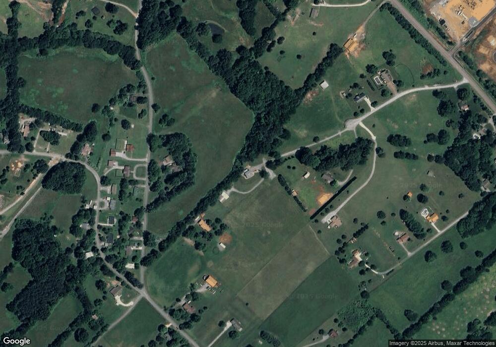
Map
Nearby Homes
- 612 Pond Hill Rd
- 307 N Burn Rd
- 216 Crescent Cir
- 220 Crescent Cir
- 224 Crescent Cir
- 228 Crescent Cir
- 232 Crescent Cir
- 236 Crescent Cir
- Aria Plan at Crescent Ridge
- Cali Plan at Crescent Ridge
- Lewis Plan at Crescent Ridge
- Sullivan Plan at Crescent Ridge
- Belhaven Plan at Crescent Ridge
- Wyeth Plan at Crescent Ridge
- Freeport Plan at Crescent Ridge
- Penwell Plan at Crescent Ridge
- Curtis Plan at Crescent Ridge
- 273 Crescent Cir
- 148 Crescent Cir
- 413 Wallace Dr
- 507 N Burn Rd
- 710 Union McMinn Rd
- 845 N Burn Rd
- 712 Union McMinn Rd
- 810 N Burn Rd
- 609 N Burn Rd
- 706 N Burn Rd
- 902 N Burn Rd
- 816 N Burn Rd
- 706 Union McMinn Rd
- 702 N Burn Rd
- 916 N Burn Rd
- 556 Union McMinn Rd
- 642 N Burn Rd
- 429 N Burn Rd
- 419 N Burn Rd
- 602 N Burn Rd
- 406 Pond Hill Rd
- 704 Union McMinn Rd
- 542 Union McMinn Rd