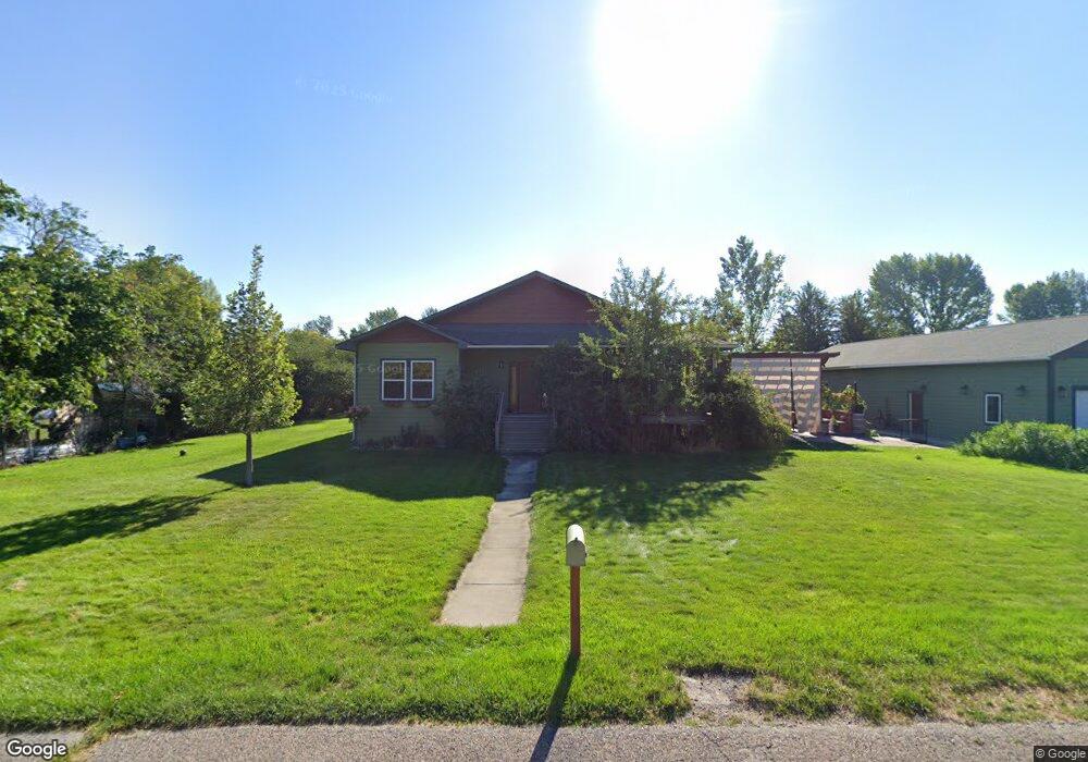
714 Walker Dr Missoula, MT 59804
Estimated Value: $836,000 - $1,005,000
4
Beds
4
Baths
998
Sq Ft
$906/Sq Ft
Est. Value
About This Home
This home is located at 714 Walker Dr, Missoula, MT 59804 and is currently estimated at $904,467, approximately $906 per square foot. 714 Walker Dr is a home located in Missoula County with nearby schools including Hawthorne Elementary School, Porter Middle School, and Big Sky High School.
Ownership History
Date
Name
Owned For
Owner Type
Purchase Details
Closed on
Dec 29, 2017
Sold by
Rolle James E and Rolle Elizabeth
Bought by
St Thomas House Llc
Current Estimated Value
Purchase Details
Closed on
Aug 2, 2006
Sold by
Wilson Jeff
Bought by
Rolle James E and Rolle Elizabeth M
Home Financials for this Owner
Home Financials are based on the most recent Mortgage that was taken out on this home.
Original Mortgage
$263,600
Interest Rate
6.69%
Mortgage Type
Purchase Money Mortgage
Create a Home Valuation Report for This Property
The Home Valuation Report is an in-depth analysis detailing your home's value as well as a comparison with similar homes in the area
Purchase History
| Date | Buyer | Sale Price | Title Company |
|---|---|---|---|
| St Thomas House Llc | -- | None Available | |
| Rolle James E | -- | Title Services Inc |
Source: Public Records
Mortgage History
| Date | Status | Borrower | Loan Amount |
|---|---|---|---|
| Previous Owner | Rolle James E | $263,600 |
Source: Public Records
Tax History
| Year | Tax Paid | Tax Assessment Tax Assessment Total Assessment is a certain percentage of the fair market value that is determined by local assessors to be the total taxable value of land and additions on the property. | Land | Improvement |
|---|---|---|---|---|
| 2025 | $5,878 | $843,100 | $244,600 | $598,500 |
| 2024 | $6,211 | $596,500 | $143,991 | $452,509 |
| 2023 | $5,658 | $596,500 | $143,991 | $452,509 |
| 2022 | $5,286 | $491,600 | $0 | $0 |
| 2021 | $4,970 | $491,600 | $0 | $0 |
| 2020 | $4,641 | $443,270 | $0 | $0 |
| 2019 | $4,605 | $443,270 | $0 | $0 |
| 2018 | $3,922 | $384,500 | $0 | $0 |
| 2017 | $3,923 | $384,500 | $0 | $0 |
| 2016 | $3,613 | $353,289 | $0 | $0 |
| 2015 | $3,491 | $353,289 | $0 | $0 |
| 2014 | $3,534 | $197,054 | $0 | $0 |
Source: Public Records
Map
Nearby Homes
- 3720 Sierra Dr
- 3820 S 3rd St W
- 4248 Mount Ave
- 3720 S 3rd St W
- 1679 Pokey Ln
- 4850 Spurgin Rd
- 4316 North Ave W
- 4022 South Ave W Unit 65
- 4022 South Ave W Unit 52
- 4022 South Ave W Unit 6
- 4022 South Ave W Unit 1
- 4022 South Ave W Unit 9
- 4022 South Ave W Unit 51
- 4022 South Ave W Unit 70
- 4022 South Ave W Unit 30
- 4022 South Ave W Unit 19
- 4022 South Ave W Unit 58
- 2222 Pauline Dr
- 2040 Edward Ct
- 2105 Humble Rd
- NHN Clements Dr
- 808 Walker Dr
- 706 Walker St
- 713 Heather Dr
- 706 Walker Dr
- 711 Heather Dr
- 723 Walker Dr
- 703 Heather Dr
- 4140 S 7th St W
- 716 Heather Dr
- 718 Heather Dr
- 708 Heather Dr
- 808 Heather Dr
- 4214 Judith Dr
- 704 Heather Dr
- 4112 S 7th St W
- 717 Clements Rd
- 705 Clements Rd
- 715 Clements Rd
- 711 Clements Rd
Your Personal Tour Guide
Ask me questions while you tour the home.