7147 Dbark Ln Helena, MT 59602
West Helena Valley NeighborhoodEstimated Value: $694,000 - $874,119
--
Bed
--
Bath
--
Sq Ft
7.01
Acres
About This Home
This home is located at 7147 Dbark Ln, Helena, MT 59602 and is currently estimated at $797,030. 7147 Dbark Ln is a home with nearby schools including Jim Darcy Elementary School and C.R. Anderson Middle School.
Ownership History
Date
Name
Owned For
Owner Type
Purchase Details
Closed on
Jul 12, 2024
Sold by
Annemarie Murfitt Revocable Living Trust
Bought by
Annemarie Murfitt Trust and Murfitt
Current Estimated Value
Purchase Details
Closed on
Mar 27, 2020
Sold by
Byrd Scott D and Byrd Sherry L
Bought by
Bentley April and Bentley Conrad
Home Financials for this Owner
Home Financials are based on the most recent Mortgage that was taken out on this home.
Original Mortgage
$109,660
Interest Rate
3.4%
Mortgage Type
Commercial
Create a Home Valuation Report for This Property
The Home Valuation Report is an in-depth analysis detailing your home's value as well as a comparison with similar homes in the area
Home Values in the Area
Average Home Value in this Area
Purchase History
| Date | Buyer | Sale Price | Title Company |
|---|---|---|---|
| Annemarie Murfitt Trust | -- | Flying S Title & Escrow | |
| Bentley April | -- | First Montana Land Title Co |
Source: Public Records
Mortgage History
| Date | Status | Borrower | Loan Amount |
|---|---|---|---|
| Previous Owner | Bentley April | $109,660 |
Source: Public Records
Tax History Compared to Growth
Tax History
| Year | Tax Paid | Tax Assessment Tax Assessment Total Assessment is a certain percentage of the fair market value that is determined by local assessors to be the total taxable value of land and additions on the property. | Land | Improvement |
|---|---|---|---|---|
| 2025 | $4,817 | $862,400 | $0 | $0 |
| 2024 | $1,364 | $165,967 | $0 | $0 |
| 2023 | $1,557 | $165,967 | $0 | $0 |
| 2022 | $237 | $3,876 | $0 | $0 |
| 2021 | $59 | $3,876 | $0 | $0 |
| 2020 | $216 | $4,360 | $0 | $0 |
| 2019 | $210 | $4,360 | $0 | $0 |
| 2018 | $208 | $4,201 | $0 | $0 |
| 2017 | $58 | $4,201 | $0 | $0 |
| 2016 | $213 | $6,105 | $0 | $0 |
Source: Public Records
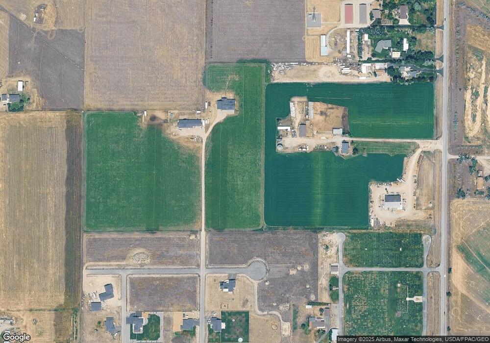
Map
Nearby Homes
- 1370 Ponderosa Rd
- 7190 Jenroe Dr
- 7175 Jenroe Dr
- 7120 Jenroe Dr
- 1450 Ray Rd
- 7567 Kingpost Loop
- 6809 N Montana Ave
- 7622 Kingpost Loop
- 7626 Roughsawn Dr
- 1343 Stetson Rd
- 1188 Hunter Rd
- 1187 Hunter Rd
- 1194 Hunter Rd
- 6760 Scratchgravel Dr
- 5527 Fireweed Loop
- 5534 Fireweed Loop
- 5533 Fireweed Loop
- 5515 Fireweed Loop
- 5514 Fireweed Loop
- 5503 Fireweed Loop
- 7170 N Montana Ave
- 7170 N Montana
- 7228 N Montana Ave
- 7120 Dbark Ln
- Tbd Mayville Rd
- 7220 N Montana Ave
- 1060 John G Mine Rd
- 7295 Midnite Dr
- 7250 N Montana Ave
- 7115 Truck Farm Dr
- 7203 Midnite Dr
- 7110 Truck Farm Dr
- 7083 Truck Farm Dr
- 7084 Garden Valley Dr
- 7085 Garden Valley Dr
- 7294 Midnite Dr
- 1020 Tiller Ct
- 7069 Truck Farm Dr
- 7281 Midnite Dr
- 1197 John G Mine Rd