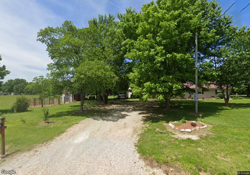
7147 State Highway 39 Aurora, MO 65605
Estimated Value: $245,599 - $457,000
3
Beds
1
Bath
1,320
Sq Ft
$246/Sq Ft
Est. Value
About This Home
This home is located at 7147 State Highway 39, Aurora, MO 65605 and is currently estimated at $324,866, approximately $246 per square foot. 7147 State Highway 39 is a home with nearby schools including Crane Elementary School and Crane High School.
Ownership History
Date
Name
Owned For
Owner Type
Purchase Details
Closed on
May 9, 2017
Sold by
Brown Daniel J
Bought by
Brown Jennifer A
Current Estimated Value
Home Financials for this Owner
Home Financials are based on the most recent Mortgage that was taken out on this home.
Original Mortgage
$70,000
Outstanding Balance
$47,750
Interest Rate
4.23%
Mortgage Type
Closed End Mortgage
Estimated Equity
$277,116
Purchase Details
Closed on
Oct 21, 2014
Sold by
Valente Gena and Valente Georgena Maria
Bought by
Brown Daniel J and Brown Jennifer A
Create a Home Valuation Report for This Property
The Home Valuation Report is an in-depth analysis detailing your home's value as well as a comparison with similar homes in the area
Home Values in the Area
Average Home Value in this Area
Purchase History
| Date | Buyer | Sale Price | Title Company |
|---|---|---|---|
| Brown Jennifer A | -- | None Available | |
| Brown Daniel J | -- | None Available |
Source: Public Records
Mortgage History
| Date | Status | Borrower | Loan Amount |
|---|---|---|---|
| Open | Brown Jennifer A | $70,000 |
Source: Public Records
Tax History Compared to Growth
Tax History
| Year | Tax Paid | Tax Assessment Tax Assessment Total Assessment is a certain percentage of the fair market value that is determined by local assessors to be the total taxable value of land and additions on the property. | Land | Improvement |
|---|---|---|---|---|
| 2025 | $912 | $18,202 | $4,883 | $13,319 |
| 2024 | $912 | $17,290 | $4,883 | $12,407 |
| 2023 | $912 | $17,290 | $4,883 | $12,407 |
| 2022 | $877 | $16,625 | $4,218 | $12,407 |
| 2021 | $840 | $15,865 | $3,458 | $12,407 |
| 2020 | $840 | $15,865 | $3,458 | $12,407 |
| 2018 | $826 | $15,865 | $3,458 | $12,407 |
| 2017 | $825 | $15,865 | $3,458 | $12,407 |
| 2016 | $759 | $14,535 | $3,078 | $11,457 |
| 2015 | -- | $14,535 | $3,078 | $11,457 |
| 2014 | -- | $13,509 | $2,071 | $11,438 |
| 2012 | -- | $0 | $0 | $0 |
Source: Public Records
Map
Nearby Homes
- 7776 State Highway 39
- Tbd Farm Rd 1190
- 000 Farm Road 1190
- Tract 1 Farm Road 1200
- 000 Farm Road 1182
- 3644 State Highway Ww
- 4276 State Highway Ww
- Tract 2 Farm Road 1200
- 23211 Farm Road 2050
- 6535 Farm Road 1245
- 000 Lawrence 2195
- 1757 Farm Road 1200
- 26252 State Highway 248
- 19038 Farm Road 2020
- 17196 Farm Road 2030
- 10463 Farm Road 1182
- 000 State Highway 248-Tract 2
- 00 Farm Road 1200
- Tract 2 Farm Rd 1200
- 00 Farm Road 1200
- 7273 State Highway 39
- 6935 State Highway 39
- 20465 Farm Road 2065
- 20783 Farm Road 2065
- 7089 State Highway 39
- 7341 State Highway 39
- 7594 Farm Road 1190
- 19763 Farm Road 2035
- 7777 State Highway 39
- 5658 Farm Road 1200
- 7828 Farm Road 1190
- 7908 State Highway 39
- Tbd Tract #4 Private Rd 1197
- 8124 Farm Road 1190
- 19466 Pr 2063
- 6830 Farm Road 1190
- 6233 State Highway 39
- 0 Private Road 2063 Unit 1029412
- 00 Farm Road 2060
- 8340 Farm Road 1190