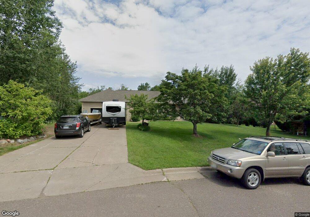
715 Cedar Gate Cir Duluth, MN 55811
Duluth Heights NeighborhoodEstimated Value: $728,413 - $1,097,000
4
Beds
3
Baths
4,486
Sq Ft
$186/Sq Ft
Est. Value
About This Home
This home is located at 715 Cedar Gate Cir, Duluth, MN 55811 and is currently estimated at $836,353, approximately $186 per square foot. 715 Cedar Gate Cir is a home located in St. Louis County with nearby schools including Lowell Elementary School, Lincoln Park Middle School, and Denfeld High School.
Ownership History
Date
Name
Owned For
Owner Type
Purchase Details
Closed on
Mar 15, 2021
Sold by
Ginete Wilson L and Ginete Joji G
Bought by
Mckay Bradley J and Howard Karla
Current Estimated Value
Home Financials for this Owner
Home Financials are based on the most recent Mortgage that was taken out on this home.
Original Mortgage
$495,000
Outstanding Balance
$442,952
Interest Rate
2.73%
Mortgage Type
New Conventional
Estimated Equity
$393,401
Purchase Details
Closed on
May 26, 2005
Sold by
Cendant Mobility Financial Corp
Bought by
Ginete Wilson L and Ginete Joji G
Home Financials for this Owner
Home Financials are based on the most recent Mortgage that was taken out on this home.
Original Mortgage
$441,900
Interest Rate
5.89%
Mortgage Type
Fannie Mae Freddie Mac
Create a Home Valuation Report for This Property
The Home Valuation Report is an in-depth analysis detailing your home's value as well as a comparison with similar homes in the area
Home Values in the Area
Average Home Value in this Area
Purchase History
| Date | Buyer | Sale Price | Title Company |
|---|---|---|---|
| Mckay Bradley J | $550,000 | First American Title Ins Co | |
| Ginete Wilson L | $441,900 | Rels | |
| Cendant Mobility Financial Corp | $441,900 | Rels | |
| Mckay Bradley Bradley | $550,000 | -- |
Source: Public Records
Mortgage History
| Date | Status | Borrower | Loan Amount |
|---|---|---|---|
| Open | Mckay Bradley J | $495,000 | |
| Previous Owner | Ginete Wilson L | $441,900 | |
| Closed | Mckay Bradley Bradley | $495,000 |
Source: Public Records
Tax History
| Year | Tax Paid | Tax Assessment Tax Assessment Total Assessment is a certain percentage of the fair market value that is determined by local assessors to be the total taxable value of land and additions on the property. | Land | Improvement |
|---|---|---|---|---|
| 2024 | $8,360 | $590,300 | $58,200 | $532,100 |
| 2023 | $8,360 | $629,900 | $63,900 | $566,000 |
| 2022 | $8,488 | $545,600 | $55,800 | $489,800 |
| 2021 | $7,946 | $512,600 | $52,400 | $460,200 |
| 2020 | $7,418 | $492,700 | $38,400 | $454,300 |
| 2019 | $6,876 | $446,900 | $34,600 | $412,300 |
| 2018 | $6,432 | $417,300 | $34,600 | $382,700 |
| 2017 | $6,390 | $417,300 | $34,600 | $382,700 |
| 2016 | $5,984 | $10,900 | $10,900 | $0 |
| 2015 | $6,116 | $398,300 | $73,900 | $324,400 |
| 2014 | $6,116 | $398,300 | $73,900 | $324,400 |
Source: Public Records
Map
Nearby Homes
- 1910 Ponderosa Ave
- 20xx Stanford Ave
- 10xx Joshua Ave
- 35 W Ideal St
- 29 W Ideal St
- 1611 Maple Grove Rd
- 1633 Maple Grove Rd
- 817 Maple Bend Dr
- 616 Maple Bend Dr
- 205 Bluff's Ridge Ct
- 1145 Como Ave Unit 1
- 4331 Haines Rd
- 3969 Haines Rd
- 155 W Myrtle St
- 2718 Northridge Dr
- 2360 Apple Ridge Dr
- 1804 Rice Lake Rd
- 1944 Chinook Dr
- 1802 Rice Lake Rd
- 2108 Cottage Hill Cir
- 715 Cedar Gate Cr
- 711 Cedar Gate Cir
- 717 Cedar Gate Cir
- 705 Cedar Gate Cr
- 716 Cedar Gate Cir
- 716 Cedar Gate Cir
- 712 Cedar Gate Cir
- 712 Cedar Gate Cir
- 705 Cedar Gate Cir
- 702 Crystal Dr
- 710 Crystal Dr
- 628 Crystal Dr
- 2108 Ponderosa Cir
- 718 Crystal Dr
- 2110 Ponderosa Cir
- 2110 2110 Ponderosa Cr--
- 2110 2110 Ponderosa Cr
- 2110 Ponderosa Ave
- 702 Cedar Gate Cr
- 2106 Ponderosa Cir
Your Personal Tour Guide
Ask me questions while you tour the home.