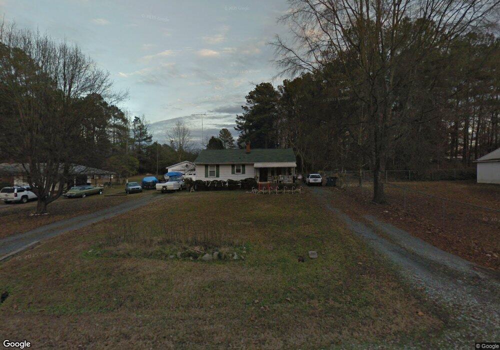
715 Locust Dr Durham, NC 27703
Eastern Durham NeighborhoodEstimated Value: $343,000 - $369,000
3
Beds
2
Baths
1,705
Sq Ft
$208/Sq Ft
Est. Value
About This Home
This home is located at 715 Locust Dr, Durham, NC 27703 and is currently estimated at $355,063, approximately $208 per square foot. 715 Locust Dr is a home located in Durham County with nearby schools including Bethesda Elementary School, John W Neal Middle School, and Southern School of Energy & Sustainability.
Ownership History
Date
Name
Owned For
Owner Type
Purchase Details
Closed on
Nov 21, 2002
Sold by
Page Albert Winston and Page Lola R
Bought by
Heil Thomas A and Heil Rebecca L
Current Estimated Value
Home Financials for this Owner
Home Financials are based on the most recent Mortgage that was taken out on this home.
Original Mortgage
$141,900
Outstanding Balance
$60,004
Interest Rate
6.15%
Estimated Equity
$295,059
Create a Home Valuation Report for This Property
The Home Valuation Report is an in-depth analysis detailing your home's value as well as a comparison with similar homes in the area
Home Values in the Area
Average Home Value in this Area
Purchase History
| Date | Buyer | Sale Price | Title Company |
|---|---|---|---|
| Heil Thomas A | $142,000 | -- |
Source: Public Records
Mortgage History
| Date | Status | Borrower | Loan Amount |
|---|---|---|---|
| Open | Heil Thomas A | $141,900 |
Source: Public Records
Tax History Compared to Growth
Tax History
| Year | Tax Paid | Tax Assessment Tax Assessment Total Assessment is a certain percentage of the fair market value that is determined by local assessors to be the total taxable value of land and additions on the property. | Land | Improvement |
|---|---|---|---|---|
| 2025 | $2,988 | $301,401 | $120,750 | $180,651 |
| 2024 | $2,333 | $167,242 | $32,100 | $135,142 |
| 2023 | $2,191 | $167,242 | $32,100 | $135,142 |
| 2022 | $2,141 | $167,242 | $32,100 | $135,142 |
| 2021 | $2,131 | $167,242 | $32,100 | $135,142 |
| 2020 | $2,080 | $167,242 | $32,100 | $135,142 |
| 2019 | $2,080 | $167,242 | $32,100 | $135,142 |
| 2018 | $1,646 | $121,362 | $24,075 | $97,287 |
| 2017 | $1,634 | $121,362 | $24,075 | $97,287 |
| 2016 | $1,579 | $121,362 | $24,075 | $97,287 |
| 2015 | $1,841 | $133,015 | $26,435 | $106,580 |
| 2014 | $1,841 | $133,015 | $26,435 | $106,580 |
Source: Public Records
Map
Nearby Homes
- 802 Lynn Rd
- 806 Lindley Dr
- 3323 Nantuckett Ave
- 3330 Nantuckett Ave
- 428 Walton St
- 2934 Carolyn Dr
- 308 Lynn Rd
- 3533 Gibson Rd
- 1218 Kendall Dr
- 806 Kendall Dr
- 118 Lynn Rd
- 1505 Kendall Dr
- 102 Harvest Oaks Ln Unit 38
- 650 Ganyard Farm Way Unit 5
- 3503 Grimes Ave
- 335 Pleasant Dr
- 519 Pleasant Dr
- 210 Stoney Creek Cir
- 506 Currin St
- 136 E End Ave
- 709 Locust Dr
- 700 Locust Dr
- 3107 Nantuckett Ave
- 3115 Nantuckett Ave
- 3109 Nantuckett Ave
- 3109 Nantucket Ave
- 707 Locust Dr
- 712 Lynn Rd
- 716 Lynn Rd
- 714 Locust Dr
- 708 Lynn Rd
- 718 Locust Dr
- 3119 Nantuckett Ave
- 3119 Nantucket Ave
- 710 Locust Dr
- 706 Locust Dr
- 3103 Nantuckett Ave
- 3123 Nantuckett Ave
- 3123 Nantuckett Ave Unit 2A
- 720 Lynn Rd