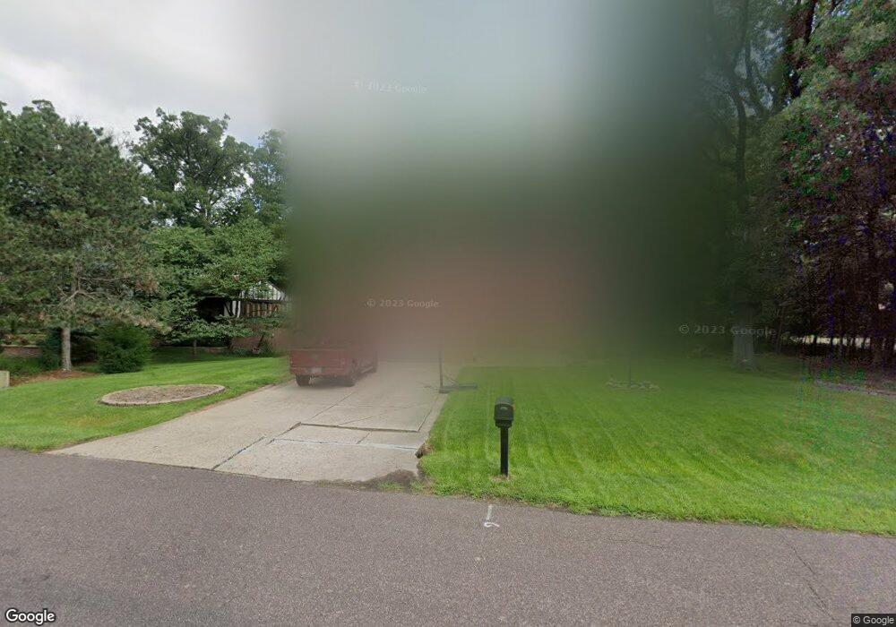
715 W Deerbrook Dr Peoria, IL 61615
North Peoria NeighborhoodEstimated Value: $269,000 - $347,000
5
Beds
4
Baths
2,616
Sq Ft
$117/Sq Ft
Est. Value
About This Home
This home is located at 715 W Deerbrook Dr, Peoria, IL 61615 and is currently estimated at $306,559, approximately $117 per square foot. 715 W Deerbrook Dr is a home located in Peoria County with nearby schools including Banner Elementary School, Dunlap Middle School, and Dunlap High School.
Ownership History
Date
Name
Owned For
Owner Type
Purchase Details
Closed on
Oct 18, 2019
Sold by
Mueller Erick D
Bought by
Mueller Julie M
Current Estimated Value
Home Financials for this Owner
Home Financials are based on the most recent Mortgage that was taken out on this home.
Original Mortgage
$116,000
Outstanding Balance
$76,348
Interest Rate
3%
Mortgage Type
New Conventional
Estimated Equity
$230,211
Purchase Details
Closed on
Jun 26, 2007
Bought by
Mueller Erick D and Mueller Julie M
Create a Home Valuation Report for This Property
The Home Valuation Report is an in-depth analysis detailing your home's value as well as a comparison with similar homes in the area
Home Values in the Area
Average Home Value in this Area
Purchase History
| Date | Buyer | Sale Price | Title Company |
|---|---|---|---|
| Mueller Julie M | -- | Cusack Gilfillan Oday Llc | |
| Mueller Erick D | $192,500 | -- |
Source: Public Records
Mortgage History
| Date | Status | Borrower | Loan Amount |
|---|---|---|---|
| Open | Mueller Julie M | $116,000 | |
| Closed | Mueller Julie M | $20,000 |
Source: Public Records
Tax History Compared to Growth
Tax History
| Year | Tax Paid | Tax Assessment Tax Assessment Total Assessment is a certain percentage of the fair market value that is determined by local assessors to be the total taxable value of land and additions on the property. | Land | Improvement |
|---|---|---|---|---|
| 2024 | $6,665 | $84,060 | $16,030 | $68,030 |
| 2023 | $6,122 | $77,120 | $14,710 | $62,410 |
| 2022 | $5,402 | $68,280 | $16,600 | $51,680 |
| 2021 | $5,176 | $65,030 | $15,810 | $49,220 |
| 2020 | $5,162 | $64,380 | $15,650 | $48,730 |
| 2019 | $5,289 | $65,690 | $15,970 | $49,720 |
| 2017 | $5,489 | $68,030 | $16,150 | $51,880 |
| 2016 | $5,389 | $68,030 | $16,150 | $51,880 |
Source: Public Records
Map
Nearby Homes
- 1203 W Wexford Place
- 1205 W Poplar Woods Ct
- 11217 N Oakwood Dr Unit 25
- 1315 W Wexford Place
- 1319 W Wexford Place
- 11918 N Windcrest Ct
- 319 W Ravinwoods Rd
- 10019 N Spring Ln
- 10936 N Jason Dr
- 408 W Ravinwoods Rd
- 416 W Ravinwoods Rd
- 1710 W Alta Rd
- 918 W Wonderview Dr
- 0 W Alta Rd
- 2233 W Augusta Dr
- 2601 W Sesame St
- 2247 W Augusta Dr
- 2218 W Augusta Dr
- Lot 7 Augusta Dr
- 2203 W Augusta Dr
- 721 W Deerbrook Dr
- 727 W Deerbrook Dr
- 705 W Deerbrook Dr
- 11039 N Tall Oaks Ln
- 701 W Deerbrook Dr
- 706 W Deerbrook Dr
- 11104 N Quail Ln
- 728 W Deerbrook Dr
- 728 W Deerbrook Dr Unit 3
- 11110 N Quail Ln
- 748 W Brookforest Dr
- 734 W Brookforest Dr
- 704 W Deerbrook Dr
- 11023 N Tall Oaks Ln
- 756 W Brookforest Dr
- 11032 N Tall Oaks Ln
- 11013 N Tall Oaks Ln
- 802 W Brookforest Dr
- 741 W Brookforest Dr