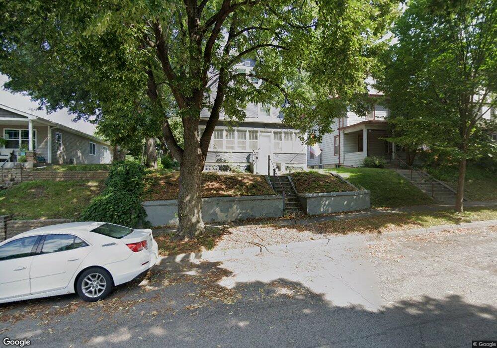
715 York Ave Saint Paul, MN 55106
Payne-Phalen NeighborhoodEstimated Value: $286,000 - $307,000
4
Beds
2
Baths
1,688
Sq Ft
$174/Sq Ft
Est. Value
About This Home
This home is located at 715 York Ave, Saint Paul, MN 55106 and is currently estimated at $293,162, approximately $173 per square foot. 715 York Ave is a home located in Ramsey County with nearby schools including John A.Johnson Achievement Plus Elementary School, Creative Arts Secondary School, and Washington Technology Magnet School.
Ownership History
Date
Name
Owned For
Owner Type
Purchase Details
Closed on
Jul 30, 2020
Sold by
Cory Roth Properties Llc
Bought by
Rutherford Craig M and Kampling Rachel
Current Estimated Value
Home Financials for this Owner
Home Financials are based on the most recent Mortgage that was taken out on this home.
Original Mortgage
$246,380
Outstanding Balance
$218,960
Interest Rate
3.1%
Mortgage Type
New Conventional
Estimated Equity
$74,202
Purchase Details
Closed on
Dec 11, 2019
Sold by
Marotz Donald David and Marotz Linda
Bought by
Cory Roth Properties Llc
Purchase Details
Closed on
Aug 23, 2019
Sold by
Marotz John A
Bought by
Marotz Donald D
Purchase Details
Closed on
Aug 16, 2019
Sold by
Moreno Wendy
Bought by
Montz Donald D
Create a Home Valuation Report for This Property
The Home Valuation Report is an in-depth analysis detailing your home's value as well as a comparison with similar homes in the area
Home Values in the Area
Average Home Value in this Area
Purchase History
| Date | Buyer | Sale Price | Title Company |
|---|---|---|---|
| Rutherford Craig M | $254,000 | Executive Title | |
| Cory Roth Properties Llc | $117,000 | Multiple | |
| Marotz Donald D | -- | Premier Title | |
| Montz Donald D | -- | Premier Title |
Source: Public Records
Mortgage History
| Date | Status | Borrower | Loan Amount |
|---|---|---|---|
| Open | Rutherford Craig M | $246,380 |
Source: Public Records
Tax History Compared to Growth
Tax History
| Year | Tax Paid | Tax Assessment Tax Assessment Total Assessment is a certain percentage of the fair market value that is determined by local assessors to be the total taxable value of land and additions on the property. | Land | Improvement |
|---|---|---|---|---|
| 2025 | $3,992 | $299,400 | $25,000 | $274,400 |
| 2023 | $3,992 | $265,900 | $20,000 | $245,900 |
| 2022 | $3,442 | $278,000 | $20,000 | $258,000 |
| 2021 | $1,552 | $225,000 | $14,000 | $211,000 |
| 2020 | $1,884 | $118,700 | $7,000 | $111,700 |
| 2019 | $1,190 | $118,700 | $7,000 | $111,700 |
| 2018 | $1,190 | $91,300 | $7,000 | $84,300 |
| 2017 | $978 | $84,800 | $7,000 | $77,800 |
| 2016 | $762 | $0 | $0 | $0 |
| 2015 | $802 | $67,800 | $7,000 | $60,800 |
| 2014 | $822 | $0 | $0 | $0 |
Source: Public Records
Map
Nearby Homes
- 763 Case Ave
- 762 Jenks Ave
- 707 Jenks Ave
- 795 Case Ave
- 811 York Ave
- 839 Sims Ave
- 697 Cook Ave E
- 792 Cook Ave E
- 843 Jenks Ave
- 620 Cook Ave E
- 864 Lawson Ave E
- 603 Cook Ave E
- 732 Jessamine Ave E
- 917 Jessie St
- 618 Magnolia Ave E
- 1039 Edgerton St
- 911 Sims Ave
- 654 Jessamine Ave E
- 612 Bush Ave
- 892 Lawson Ave E