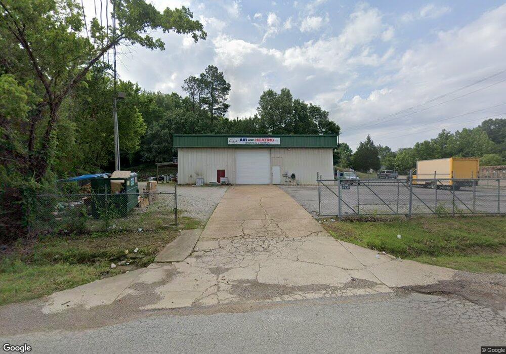
7160 Highway 178 Olive Branch, MS 38654
Estimated Value: $528,109
--
Bed
--
Bath
5,552
Sq Ft
$95/Sq Ft
Est. Value
About This Home
This home is located at 7160 Highway 178, Olive Branch, MS 38654 and is currently estimated at $528,109, approximately $95 per square foot. 7160 Highway 178 is a home located in DeSoto County with nearby schools including Olive Branch Elementary School, Chickasaw Elementary School, and Olive Branch Middle School.
Ownership History
Date
Name
Owned For
Owner Type
Purchase Details
Closed on
May 3, 2019
Sold by
Malone Jackie E
Bought by
Kirk Christopher B
Current Estimated Value
Home Financials for this Owner
Home Financials are based on the most recent Mortgage that was taken out on this home.
Original Mortgage
$272,000
Outstanding Balance
$113,175
Interest Rate
4.2%
Mortgage Type
New Conventional
Estimated Equity
$414,934
Purchase Details
Closed on
Feb 28, 2019
Sold by
Malone Jackie E
Bought by
Malone Jackie E and Malone Sherry S
Create a Home Valuation Report for This Property
The Home Valuation Report is an in-depth analysis detailing your home's value as well as a comparison with similar homes in the area
Home Values in the Area
Average Home Value in this Area
Purchase History
| Date | Buyer | Sale Price | Title Company |
|---|---|---|---|
| Kirk Christopher B | -- | None Available | |
| Malone Jackie E | -- | None Available |
Source: Public Records
Mortgage History
| Date | Status | Borrower | Loan Amount |
|---|---|---|---|
| Open | Kirk Christopher B | $272,000 |
Source: Public Records
Tax History Compared to Growth
Tax History
| Year | Tax Paid | Tax Assessment Tax Assessment Total Assessment is a certain percentage of the fair market value that is determined by local assessors to be the total taxable value of land and additions on the property. | Land | Improvement |
|---|---|---|---|---|
| 2024 | $3,672 | $26,906 | $3,750 | $23,156 |
| 2023 | $3,672 | $26,906 | $0 | $0 |
| 2022 | $3,672 | $26,906 | $3,750 | $23,156 |
| 2021 | $3,672 | $26,906 | $3,750 | $23,156 |
| 2020 | $3,333 | $24,419 | $3,750 | $20,669 |
| 2019 | $3,281 | $24,041 | $3,750 | $20,291 |
| 2017 | $3,258 | $43,738 | $23,744 | $19,994 |
| 2016 | $3,258 | $23,744 | $3,750 | $19,994 |
| 2015 | $3,258 | $43,738 | $23,744 | $19,994 |
| 2014 | $3,258 | $23,744 | $0 | $0 |
| 2013 | $3,163 | $23,744 | $0 | $0 |
Source: Public Records
Map
Nearby Homes
- 8700 Old Craft Rd
- 8778 Mwc Rd
- 8939 Youngblood Rd
- 9142 Mineral Wells Rd
- 4406 John Wood Ln
- 4432 John Wood Ln
- 9091 Hunters Ridge Dr
- 9082 Fox Cove
- 7885 Hunters Bend Cove
- 4435 Bolivar Trail S
- 8140 Hunters Hill Cove
- 7905 Gardendale Dr
- 1930 Plan at Allendale
- 7899 Gardendale Dr
- 7881 Gardendale Dr
- 7875 Gardendale Dr
- 7867 Gardendale Dr
- 7859 Gardendale Dr
- 7851 Gardendale Dr
- 7839 Gardendale Dr
- 7190 Highway 178
- 7204 Highway 178
- 8855 Old Craft Rd
- 7315 Lamb Rd
- 7275 Lamb Rd
- 7268 Highway 178
- 7268 Highway 178
- 7268 Mississippi 178
- 7257 Highway 178
- 5400 Stateline Cove
- 6825 Highway Unit 178
- 7290 Highway 178
- 8880 Youngblood Dr
- 7443 Youngblood Cove
- 6699 Highway Unit 178
- 8922 Youngblood
- 7291 Highway 178
- 7330 Highway 178
- 7093 Ms-178
- 7327 Highway 178