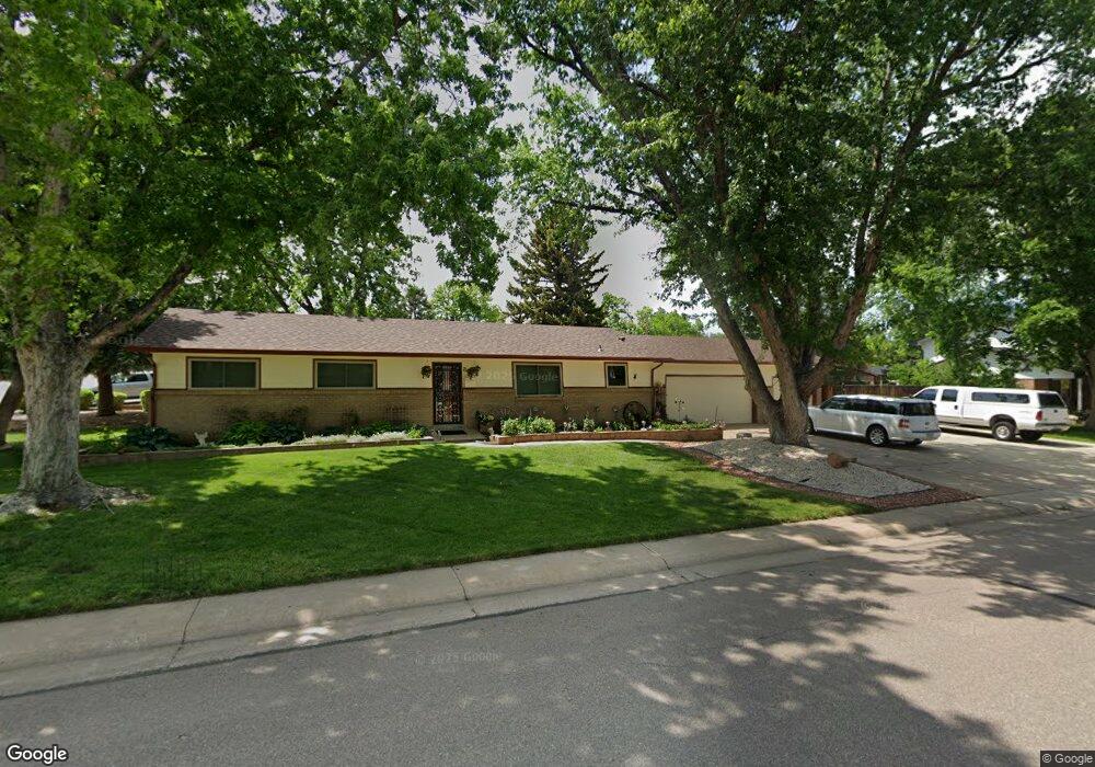
7163 S Platte Canyon Dr Littleton, CO 80128
Estimated Value: $587,839 - $813,000
--
Bed
2
Baths
1,527
Sq Ft
$457/Sq Ft
Est. Value
About This Home
This home is located at 7163 S Platte Canyon Dr, Littleton, CO 80128 and is currently estimated at $697,710, approximately $456 per square foot. 7163 S Platte Canyon Dr is a home located in Arapahoe County with nearby schools including Wilder Elementary School, Goddard Middle School, and Heritage High School.
Ownership History
Date
Name
Owned For
Owner Type
Purchase Details
Closed on
Aug 5, 2011
Sold by
Dardano Loretta
Bought by
The Loretta Dardano Trust
Current Estimated Value
Purchase Details
Closed on
Jan 9, 1990
Sold by
Dardano Loretta
Bought by
Dardano Arlene Dardano Loretta
Purchase Details
Closed on
Oct 24, 1989
Sold by
Conversion Arapco
Bought by
Dardano Loretta
Purchase Details
Closed on
Dec 1, 1982
Sold by
Conversion Arapco
Bought by
Conversion Arapco
Purchase Details
Closed on
May 1, 1976
Sold by
Conversion Arapco
Bought by
Conversion Arapco
Purchase Details
Closed on
Jul 4, 1776
Bought by
Conversion Arapco
Create a Home Valuation Report for This Property
The Home Valuation Report is an in-depth analysis detailing your home's value as well as a comparison with similar homes in the area
Home Values in the Area
Average Home Value in this Area
Purchase History
| Date | Buyer | Sale Price | Title Company |
|---|---|---|---|
| The Loretta Dardano Trust | -- | None Available | |
| Dardano Arlene Dardano Loretta | -- | -- | |
| Dardano Loretta | -- | -- | |
| Conversion Arapco | -- | -- | |
| Conversion Arapco | -- | -- | |
| Conversion Arapco | -- | -- |
Source: Public Records
Tax History Compared to Growth
Tax History
| Year | Tax Paid | Tax Assessment Tax Assessment Total Assessment is a certain percentage of the fair market value that is determined by local assessors to be the total taxable value of land and additions on the property. | Land | Improvement |
|---|---|---|---|---|
| 2024 | $3,569 | $37,373 | -- | -- |
| 2023 | $3,569 | $37,373 | $0 | $0 |
| 2022 | $2,685 | $28,502 | $0 | $0 |
| 2021 | $2,684 | $28,502 | $0 | $0 |
| 2020 | $2,669 | $29,222 | $0 | $0 |
| 2019 | $2,537 | $29,222 | $0 | $0 |
| 2018 | $2,012 | $24,602 | $0 | $0 |
| 2017 | $1,869 | $24,602 | $0 | $0 |
| 2016 | $1,970 | $17,862 | $0 | $0 |
| 2015 | $1,970 | $17,862 | $0 | $0 |
| 2014 | -- | $17,050 | $0 | $0 |
| 2013 | -- | $16,110 | $0 | $0 |
Source: Public Records
Map
Nearby Homes
- 5040 W Geddes Cir
- 7175 S Polo Ridge Dr
- 7120 S Sheridan Ct
- 7079 S Polo Ridge Dr
- 5274 W Rowland Place
- 7000 S Sheridan Blvd
- 7351 S Sheridan Ct
- 7425 S Utica St
- 5041 W Portland Dr
- 7452 S Utica St
- 7427 S Ames Ct
- 5295 W Plymouth Dr
- 5466 W Indore Dr
- 5200 W Ontario Ave
- 4431 W Jamison Place
- 6773 S Yates Ct
- 7604 S Platteview Dr
- 5845 W Portland Dr
- 7504 S Depew St
- 6703 S Yates Ct
- 5011 W Geddes Cir
- 7143 S Platte Canyon Dr
- 7162 S Platte Canyon Dr
- 5032 W Fremont Dr
- 7152 S Platte Canyon Dr
- 7215 S Platte Canyon Dr
- 5021 W Geddes Cir
- 7204 S Platte Canyon Dr
- 5010 W Geddes Cir
- 7142 S Platte Canyon Dr
- 5042 W Fremont Dr
- 7214 S Platte Canyon Dr
- 5031 W Geddes Cir
- 7132 S Platte Canyon Dr
- 5030 W Geddes Cir
- 5021 W Fremont Dr
- 7225 S Platte Canyon Dr
- 5052 W Fremont Dr
- 7224 S Platte Canyon Dr
- 5163 W Geddes Cir