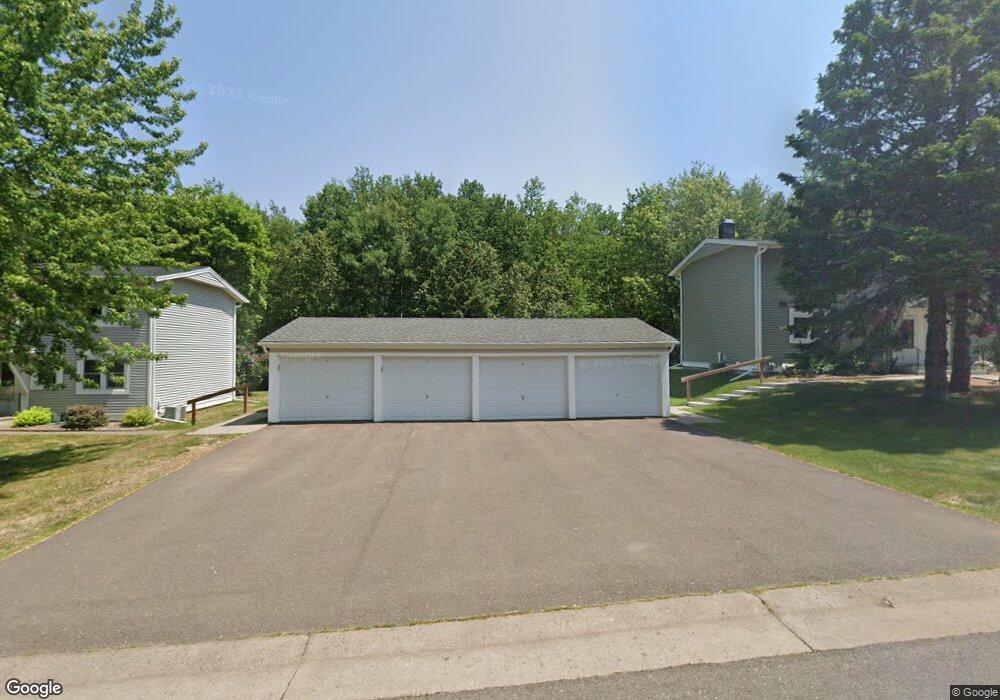
717 Bong Blvd Unit 27A Duluth, MN 55811
Kenwood NeighborhoodEstimated Value: $235,000 - $255,000
About This Home
This home is located at 717 Bong Blvd Unit 27A, Duluth, MN 55811 and is currently estimated at $242,478, approximately $140 per square foot. 717 Bong Blvd Unit 27A is a home located in St. Louis County with nearby schools including Lowell Elementary School, Lincoln Park Middle School, and Denfeld High School.
Ownership History
We collect this data history from publicly available records. To have your information removed, we recommend requesting removal directly through your county’s website.
Purchase Details
Home Financials for this Owner
Home Financials are based on the most recent Mortgage that was taken out on this home.Purchase Details
Home Financials for this Owner
Home Financials are based on the most recent Mortgage that was taken out on this home.Purchase Details
Home Values in the Area
Average Home Value in this Area
Purchase History
We collect this data history from publicly available records. To have your information removed, we recommend requesting removal directly through your county’s website.
| Date | Buyer | Sale Price | Title Company |
|---|---|---|---|
| $118,500 | -- | ||
| $110,000 | Rels Title | ||
| -- | -- |
Mortgage History
We collect this data history from publicly available records. To have your information removed, we recommend requesting removal directly through your county’s website.
| Date | Status | Borrower | Loan Amount |
|---|---|---|---|
| Open | $116,353 | ||
| Previous Owner | $88,000 |
Tax History
We collect this data history from publicly available records. To have your information removed, we recommend requesting removal directly through your county’s website.
| Year | Tax Paid | Tax Assessment Tax Assessment Total Assessment is a certain percentage of the fair market value that is determined by local assessors to be the total taxable value of land and additions on the property. | Land | Improvement |
|---|---|---|---|---|
| 2024 | $2,860 | $221,900 | $22,000 | $199,900 |
| 2023 | $2,730 | $203,500 | $22,000 | $181,500 |
| 2022 | $2,652 | $172,600 | $21,300 | $151,300 |
| 2021 | $1,840 | $135,000 | $20,500 | $114,500 |
| 2020 | $1,604 | $135,000 | $20,500 | $114,500 |
| 2019 | $1,448 | $119,300 | $18,400 | $100,900 |
| 2018 | $1,344 | $110,700 | $18,000 | $92,700 |
| 2017 | $1,346 | $110,700 | $18,000 | $92,700 |
| 2016 | $1,318 | $110,700 | $18,000 | $92,700 |
| 2015 | $1,174 | $72,500 | $12,500 | $60,000 |
| 2014 | $1,174 | $72,500 | $12,500 | $60,000 |
Map
- 1944 Chinook Dr
- 504 Madison Ave Unit 59B
- 431 Kelly Cir Unit 431
- 714 Creekside Cir
- 1802 Rice Lake Rd
- 2360 Apple Ridge Dr
- 208 Mitchell Cir Unit 47D
- 1804 Rice Lake Rd
- 1113 Butternut Ave
- 1724 Fern Ave
- 1524 Boulevard Place
- 1540 N 7th Ave E
- 1625 Linzie Rd
- 427 Wildwood Dr
- 324 Wildwood Dr
- 18 Howard Gnesen Rd
- 129 Artavia St
- 20xx Stanford Ave
- 145 E Toledo St
- 1002 Martha St
- 717 Bong Blvd Unit Lv. Unit 27A Gar 27A
- 719 Bong Blvd
- 721 Bong Blvd
- 723 Bong Blvd Unit 27D
- 715 Bong Blvd Unit 28D
- 713 Bong Blvd Unit 28C
- 711 Bong Blvd Unit 28B
- 709 Bong Blvd Unit 28A
- 832 Hamilton Dr Unit 31A
- 830 Hamilton Dr Unit 31B
- 828 Hamilton Dr Unit 31C
- 821 Hamilton Dr Unit 29C
- 707 Bong Blvd Unit 37D
- 823 Hamilton Dr Unit 29D
- 819 Hamilton Dr Unit 29B
- 705 705 Bong Blvd
- 826 Hamilton Dr
- 705 Bong Blvd Unit 37C
- 824 Hamilton Dr Unit 32A
- 817 Hamilton Dr
Ask me questions while you tour the home.