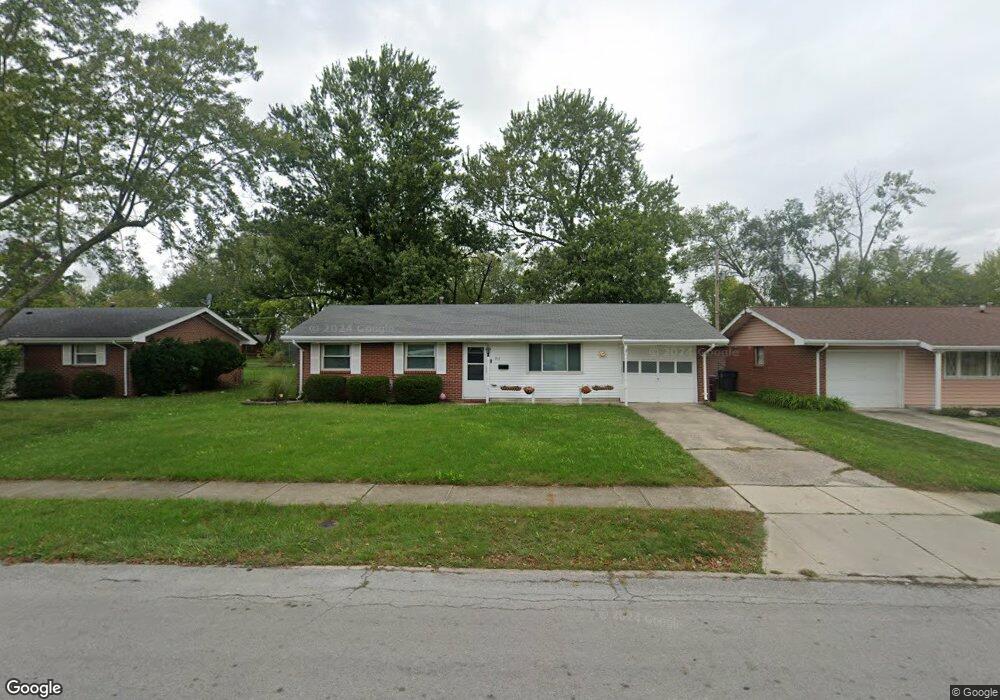
717 Cornell Dr Lima, OH 45805
Westgate NeighborhoodEstimated Value: $129,000 - $148,000
3
Beds
2
Baths
1,040
Sq Ft
$136/Sq Ft
Est. Value
About This Home
This home is located at 717 Cornell Dr, Lima, OH 45805 and is currently estimated at $141,219, approximately $135 per square foot. 717 Cornell Dr is a home located in Allen County with nearby schools including Heritage Elementary School, Lima West Middle School, and Lima North Middle School.
Ownership History
Date
Name
Owned For
Owner Type
Purchase Details
Closed on
Jan 24, 2011
Sold by
U S Bank National Association Nd
Bought by
Rumbaugh Properties Llc
Current Estimated Value
Home Financials for this Owner
Home Financials are based on the most recent Mortgage that was taken out on this home.
Original Mortgage
$34,500
Outstanding Balance
$12,681
Interest Rate
4.65%
Mortgage Type
Future Advance Clause Open End Mortgage
Estimated Equity
$128,538
Purchase Details
Closed on
Oct 25, 2010
Sold by
Coppler Thomas
Bought by
U S Bank National Association N D
Purchase Details
Closed on
Mar 8, 2001
Sold by
Maiani Joseph J
Bought by
Shaffer Rocky A and Shaffer Pauline
Home Financials for this Owner
Home Financials are based on the most recent Mortgage that was taken out on this home.
Original Mortgage
$57,000
Interest Rate
7.18%
Mortgage Type
New Conventional
Purchase Details
Closed on
Apr 1, 1999
Sold by
Smith Joan
Bought by
Maiani Joseph
Home Financials for this Owner
Home Financials are based on the most recent Mortgage that was taken out on this home.
Original Mortgage
$44,000
Interest Rate
6.89%
Mortgage Type
New Conventional
Purchase Details
Closed on
May 1, 1984
Bought by
Smith Joan Evelyn
Create a Home Valuation Report for This Property
The Home Valuation Report is an in-depth analysis detailing your home's value as well as a comparison with similar homes in the area
Home Values in the Area
Average Home Value in this Area
Purchase History
| Date | Buyer | Sale Price | Title Company |
|---|---|---|---|
| Rumbaugh Properties Llc | $36,000 | None Available | |
| U S Bank National Association N D | $59,920 | Attorney | |
| Shaffer Rocky A | $62,000 | -- | |
| Maiani Joseph | $46,400 | -- | |
| Smith Joan Evelyn | -- | -- |
Source: Public Records
Mortgage History
| Date | Status | Borrower | Loan Amount |
|---|---|---|---|
| Open | Rumbaugh Properties Llc | $34,500 | |
| Previous Owner | Shaffer Rocky A | $57,000 | |
| Previous Owner | Maiani Joseph | $44,000 |
Source: Public Records
Tax History Compared to Growth
Tax History
| Year | Tax Paid | Tax Assessment Tax Assessment Total Assessment is a certain percentage of the fair market value that is determined by local assessors to be the total taxable value of land and additions on the property. | Land | Improvement |
|---|---|---|---|---|
| 2024 | $1,131 | $30,140 | $6,270 | $23,870 |
| 2023 | $956 | $21,840 | $4,550 | $17,290 |
| 2022 | $960 | $21,840 | $4,550 | $17,290 |
| 2021 | $1,014 | $21,840 | $4,550 | $17,290 |
| 2020 | $975 | $18,590 | $4,340 | $14,250 |
| 2019 | $975 | $18,590 | $4,340 | $14,250 |
| 2018 | $951 | $18,590 | $4,340 | $14,250 |
| 2017 | $946 | $17,920 | $4,340 | $13,580 |
| 2016 | $1,054 | $17,920 | $4,340 | $13,580 |
| 2015 | $1,079 | $17,920 | $4,340 | $13,580 |
| 2014 | $1,051 | $17,510 | $4,590 | $12,920 |
| 2013 | $1,030 | $17,510 | $4,590 | $12,920 |
Source: Public Records
Map
Nearby Homes
- 1753 Leland Ave
- 1719 Latham Ave
- 918 Cornell Dr
- 858 Mackenzie Dr
- 514 N Cable Rd
- 2100 University Blvd
- 2035 W Wayne St
- 621 Fairfield Dr
- 102 Charwood Dr
- 1113 Crestwood Dr
- 209 N Dale Dr
- 1517 Allentown Rd
- 391 N Fernwood Dr
- 109 N Pears Ave
- 2050 W Market St
- 1630 W Market St
- 1912 Hillcrest Dr
- 234 S Westwood Dr
- 1459 W Market St
- 1206 Rice Ave