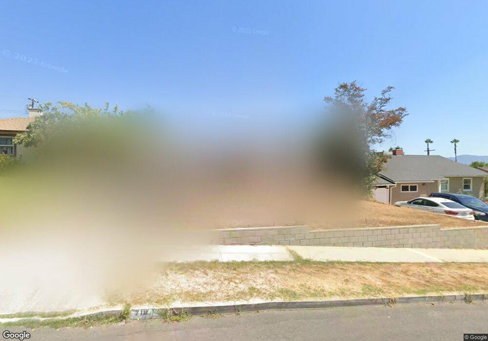
718 Birmingham Rd Burbank, CA 91504
Hillside District NeighborhoodEstimated Value: $1,352,000 - $1,501,000
3
Beds
2
Baths
1,495
Sq Ft
$944/Sq Ft
Est. Value
About This Home
This home is located at 718 Birmingham Rd, Burbank, CA 91504 and is currently estimated at $1,410,859, approximately $943 per square foot. 718 Birmingham Rd is a home located in Los Angeles County with nearby schools including Thomas Jefferson Elementary School, John Muir Middle School, and Burbank High School.
Ownership History
Date
Name
Owned For
Owner Type
Purchase Details
Closed on
Aug 24, 1998
Sold by
Odea Mike
Bought by
Odea Mike and Odea Judy
Current Estimated Value
Home Financials for this Owner
Home Financials are based on the most recent Mortgage that was taken out on this home.
Original Mortgage
$272,000
Outstanding Balance
$67,656
Interest Rate
9.1%
Estimated Equity
$1,343,203
Purchase Details
Closed on
Jan 13, 1995
Sold by
Odea Cindy L
Bought by
Odea Jim
Purchase Details
Closed on
Jan 3, 1995
Sold by
Votaw June M
Bought by
Odea Mike and Odea Judy
Create a Home Valuation Report for This Property
The Home Valuation Report is an in-depth analysis detailing your home's value as well as a comparison with similar homes in the area
Home Values in the Area
Average Home Value in this Area
Purchase History
| Date | Buyer | Sale Price | Title Company |
|---|---|---|---|
| Odea Mike | -- | Landsafe Title | |
| Odea Jim | -- | Gateway Title | |
| Odea Mike | -- | Gateway Title |
Source: Public Records
Mortgage History
| Date | Status | Borrower | Loan Amount |
|---|---|---|---|
| Open | Odea Mike | $272,000 |
Source: Public Records
Tax History
| Year | Tax Paid | Tax Assessment Tax Assessment Total Assessment is a certain percentage of the fair market value that is determined by local assessors to be the total taxable value of land and additions on the property. | Land | Improvement |
|---|---|---|---|---|
| 2025 | $5,270 | $475,799 | $281,559 | $194,240 |
| 2024 | $5,270 | $466,471 | $276,039 | $190,432 |
| 2023 | $5,214 | $457,326 | $270,627 | $186,699 |
| 2022 | $4,977 | $448,360 | $265,321 | $183,039 |
| 2021 | $4,952 | $439,569 | $260,119 | $179,450 |
| 2020 | $4,896 | $435,062 | $257,452 | $177,610 |
| 2019 | $4,752 | $426,532 | $252,404 | $174,128 |
| 2018 | $4,676 | $418,169 | $247,455 | $170,714 |
| 2016 | $4,431 | $401,933 | $237,847 | $164,086 |
| 2015 | $4,341 | $395,897 | $234,275 | $161,622 |
| 2014 | $4,333 | $388,143 | $229,686 | $158,457 |
Source: Public Records
Map
Nearby Homes
- 1819 Richard St
- 505 Cambridge Dr
- 441 Dartmouth Rd
- 430 Tufts Ave
- 1814 Grismer Ave
- 2615 Woodstock Ln
- 1711 Grismer Ave Unit 72
- 718 E Walnut Ave
- 902 E Walnut Ave
- 637 E Fairmount Rd
- 1515 Grismer Ave Unit 102
- 1515 Grismer Ave Unit 302
- 2748 Mansfield Dr
- 1719 Landis St
- 2014 Peyton Ave
- 2528 N Orchard Dr
- 2316 N Parish Place
- 1083 E Fairmount Rd
- 2444 N Parish Place
- 1924 N Parish Place
- 724 Birmingham Rd
- 712 Birmingham Rd
- 719 Andover Dr
- 730 Birmingham Rd
- 706 Birmingham Rd
- 725 Andover Dr
- 731 Andover Dr
- 707 Andover Dr
- 719 Birmingham Rd
- 736 Birmingham Rd
- 700 Birmingham Rd
- 713 Birmingham Rd
- 725 Birmingham Rd
- 737 Andover Dr
- 707 Birmingham Rd
- 731 Birmingham Rd
- 701 Andover Dr
- 742 Birmingham Rd
- 648 Birmingham Rd
- 701 Birmingham Rd
Your Personal Tour Guide
Ask me questions while you tour the home.