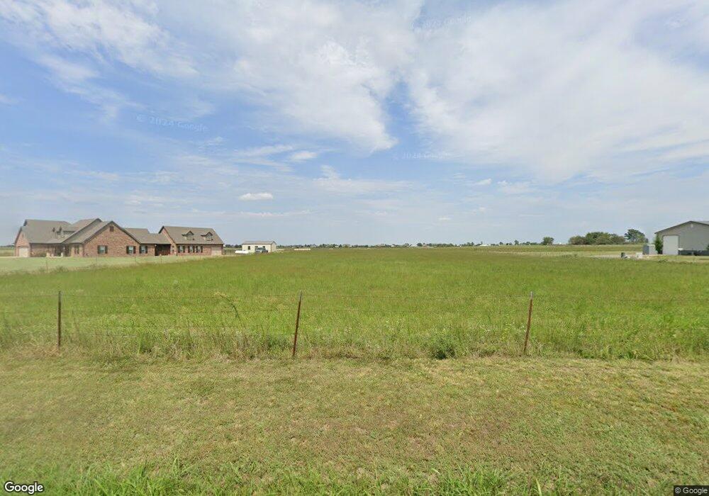
71823 S 270 Rd Wagoner, OK 74467
Estimated Value: $354,000
Studio
2
Baths
1,820
Sq Ft
$195/Sq Ft
Est. Value
About This Home
This home is located at 71823 S 270 Rd, Wagoner, OK 74467 and is currently estimated at $354,000, approximately $194 per square foot. 71823 S 270 Rd is a home located in Wagoner County with nearby schools including Ellington Elementary School, William R. Teague Elementary School, and Wagoner Middle School.
Ownership History
Date
Name
Owned For
Owner Type
Purchase Details
Closed on
Feb 16, 2018
Sold by
Carter Charles Michael and Carter Melba F
Bought by
Boyett Timothy A and Boyett Pamela J
Current Estimated Value
Purchase Details
Closed on
Aug 8, 2007
Sold by
Carter Michael and Carter Charles Michael
Bought by
Carter Michael and Carter Melba F
Home Financials for this Owner
Home Financials are based on the most recent Mortgage that was taken out on this home.
Original Mortgage
$35,000
Interest Rate
9%
Mortgage Type
Adjustable Rate Mortgage/ARM
Create a Home Valuation Report for This Property
The Home Valuation Report is an in-depth analysis detailing your home's value as well as a comparison with similar homes in the area
Purchase History
| Date | Buyer | Sale Price | Title Company |
|---|---|---|---|
| Boyett Timothy A | $20,000 | -- | |
| Carter Michael | -- | None Available |
Source: Public Records
Mortgage History
| Date | Status | Borrower | Loan Amount |
|---|---|---|---|
| Previous Owner | Carter Michael | $35,000 |
Source: Public Records
Tax History
| Year | Tax Paid | Tax Assessment Tax Assessment Total Assessment is a certain percentage of the fair market value that is determined by local assessors to be the total taxable value of land and additions on the property. | Land | Improvement |
|---|---|---|---|---|
| 2025 | $210 | $2,315 | $2,315 | $0 |
| 2024 | $207 | $2,248 | $2,248 | $0 |
| 2023 | $201 | $2,183 | $2,183 | $0 |
| 2022 | $195 | $2,119 | $2,119 | $0 |
| 2021 | $196 | $2,119 | $2,119 | $0 |
| 2020 | $201 | $2,119 | $2,119 | $0 |
| 2019 | $184 | $2,248 | $2,248 | $0 |
| 2018 | $189 | $2,183 | $2,183 | $0 |
| 2017 | $180 | $2,119 | $2,119 | $0 |
| 2016 | $236 | $2,854 | $2,854 | $0 |
| 2015 | $239 | $2,854 | $2,854 | $0 |
| 2014 | $241 | $2,862 | $2,862 | $0 |
Source: Public Records
Map
Nearby Homes
- 2 S 720 Rd
- 26530 E 710 Rd
- 519 Park St
- 512 Park St
- 506 Park St
- 405 Mockingbird Ln
- 805 NW 14th St
- 308 Peak Cir
- 1 N Pierce Ave
- 1 Ash Ave
- 122 Yorkshire Blvd
- 205 S Mary Ave
- 807 NW 3rd St
- 1807 SW 2nd Place
- 906 NW 1st St
- 308 Roosevelt Ave
- 408 NW 8th St
- 0 State Hwy 51 Hwy W Unit 2529536
- 412 NW 7th St
- 408 NW 7th St
Your Personal Tour Guide
Ask me questions while you tour the home.