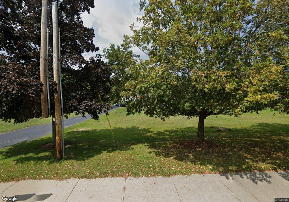
719 King St Franklin, MA 02038
Wadsworth NeighborhoodEstimated Value: $795,000 - $1,069,000
4
Beds
3
Baths
2,985
Sq Ft
$298/Sq Ft
Est. Value
About This Home
This home is located at 719 King St, Franklin, MA 02038 and is currently estimated at $888,079, approximately $297 per square foot. 719 King St is a home located in Norfolk County with nearby schools including Jefferson Elementary School, Remington Middle School, and Franklin High School.
Create a Home Valuation Report for This Property
The Home Valuation Report is an in-depth analysis detailing your home's value as well as a comparison with similar homes in the area
Home Values in the Area
Average Home Value in this Area
Tax History Compared to Growth
Tax History
| Year | Tax Paid | Tax Assessment Tax Assessment Total Assessment is a certain percentage of the fair market value that is determined by local assessors to be the total taxable value of land and additions on the property. | Land | Improvement |
|---|---|---|---|---|
| 2025 | $8,161 | $702,300 | $249,300 | $453,000 |
| 2024 | $7,112 | $603,200 | $249,300 | $353,900 |
| 2023 | $7,212 | $573,300 | $251,400 | $321,900 |
| 2022 | $6,928 | $493,100 | $207,800 | $285,300 |
| 2021 | $6,510 | $444,400 | $222,600 | $221,800 |
| 2020 | $6,326 | $436,000 | $224,600 | $211,400 |
| 2019 | $6,085 | $415,100 | $203,500 | $211,600 |
| 2018 | $5,861 | $400,100 | $209,200 | $190,900 |
| 2017 | $5,581 | $382,800 | $191,900 | $190,900 |
| 2016 | $5,559 | $383,400 | $188,900 | $194,500 |
| 2015 | $5,620 | $378,700 | $184,200 | $194,500 |
| 2014 | $5,047 | $349,300 | $154,800 | $194,500 |
Source: Public Records
Map
Nearby Homes
