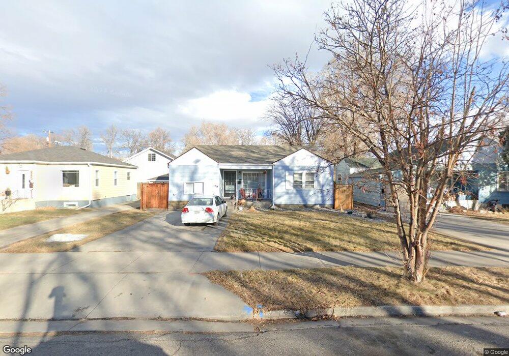
719 Miles Ave Billings, MT 59101
East Central Billings NeighborhoodEstimated Value: $268,000 - $283,024
4
Beds
1
Bath
1,676
Sq Ft
$166/Sq Ft
Est. Value
About This Home
This home is located at 719 Miles Ave, Billings, MT 59101 and is currently estimated at $278,756, approximately $166 per square foot. 719 Miles Ave is a home located in Yellowstone County with nearby schools including Broadwater School, Lewis & Clark Junior High School, and Billings Senior High School.
Ownership History
Date
Name
Owned For
Owner Type
Purchase Details
Closed on
Jun 17, 2015
Sold by
Haacke Kenneth J and Wight Cassandra J
Bought by
Warren Brett M and Warren Jennifer L
Current Estimated Value
Home Financials for this Owner
Home Financials are based on the most recent Mortgage that was taken out on this home.
Original Mortgage
$150,100
Outstanding Balance
$116,339
Interest Rate
3.77%
Mortgage Type
New Conventional
Estimated Equity
$162,417
Purchase Details
Closed on
Sep 7, 2011
Sold by
Haacke Kenneth J
Bought by
Haacke Kenneth J and Wight Cassandra J
Home Financials for this Owner
Home Financials are based on the most recent Mortgage that was taken out on this home.
Original Mortgage
$96,500
Interest Rate
4.48%
Mortgage Type
New Conventional
Create a Home Valuation Report for This Property
The Home Valuation Report is an in-depth analysis detailing your home's value as well as a comparison with similar homes in the area
Home Values in the Area
Average Home Value in this Area
Purchase History
| Date | Buyer | Sale Price | Title Company |
|---|---|---|---|
| Warren Brett M | -- | None Available | |
| Haacke Kenneth J | -- | Chicago Title |
Source: Public Records
Mortgage History
| Date | Status | Borrower | Loan Amount |
|---|---|---|---|
| Open | Warren Brett M | $150,100 | |
| Previous Owner | Haacke Kenneth J | $96,500 |
Source: Public Records
Tax History Compared to Growth
Tax History
| Year | Tax Paid | Tax Assessment Tax Assessment Total Assessment is a certain percentage of the fair market value that is determined by local assessors to be the total taxable value of land and additions on the property. | Land | Improvement |
|---|---|---|---|---|
| 2025 | $2,310 | $261,600 | $37,400 | $224,200 |
| 2024 | $2,310 | $227,400 | $37,300 | $190,100 |
| 2023 | $2,309 | $227,400 | $37,300 | $190,100 |
| 2022 | $2,128 | $183,800 | $34,400 | $149,400 |
| 2021 | $2,030 | $183,800 | $0 | $0 |
| 2020 | $1,924 | $160,600 | $0 | $0 |
| 2019 | $1,833 | $160,600 | $0 | $0 |
| 2018 | $1,840 | $159,200 | $0 | $0 |
| 2017 | $1,787 | $159,200 | $0 | $0 |
| 2016 | $1,654 | $147,000 | $0 | $0 |
| 2015 | $1,536 | $138,900 | $0 | $0 |
| 2014 | -- | $67,998 | $0 | $0 |
Source: Public Records
Map
Nearby Homes