7196 Anderson Rd Fairview, TN 37062
Estimated Value: $351,000 - $615,000
--
Bed
1
Bath
1,044
Sq Ft
$448/Sq Ft
Est. Value
About This Home
This home is located at 7196 Anderson Rd, Fairview, TN 37062 and is currently estimated at $467,251, approximately $447 per square foot. 7196 Anderson Rd is a home located in Williamson County with nearby schools including Westwood Elementary School, Fairview Middle School, and Fairview High School.
Ownership History
Date
Name
Owned For
Owner Type
Purchase Details
Closed on
Jun 23, 2008
Sold by
Estate Of Clifford Eugene Anderson
Bought by
Shelby Bobby D and Shelby Monica A
Current Estimated Value
Home Financials for this Owner
Home Financials are based on the most recent Mortgage that was taken out on this home.
Original Mortgage
$114,750
Outstanding Balance
$73,333
Interest Rate
5.97%
Mortgage Type
Purchase Money Mortgage
Estimated Equity
$393,918
Create a Home Valuation Report for This Property
The Home Valuation Report is an in-depth analysis detailing your home's value as well as a comparison with similar homes in the area
Home Values in the Area
Average Home Value in this Area
Purchase History
| Date | Buyer | Sale Price | Title Company |
|---|---|---|---|
| Shelby Bobby D | $135,000 | None Available |
Source: Public Records
Mortgage History
| Date | Status | Borrower | Loan Amount |
|---|---|---|---|
| Open | Shelby Bobby D | $114,750 |
Source: Public Records
Tax History Compared to Growth
Tax History
| Year | Tax Paid | Tax Assessment Tax Assessment Total Assessment is a certain percentage of the fair market value that is determined by local assessors to be the total taxable value of land and additions on the property. | Land | Improvement |
|---|---|---|---|---|
| 2025 | $1,143 | $121,050 | $106,325 | $14,725 |
| 2024 | $1,143 | $60,800 | $47,475 | $13,325 |
| 2023 | $1,143 | $60,800 | $47,475 | $13,325 |
| 2022 | $1,143 | $60,800 | $47,475 | $13,325 |
| 2021 | $1,143 | $60,800 | $47,475 | $13,325 |
| 2020 | $898 | $40,450 | $27,250 | $13,200 |
| 2019 | $898 | $40,450 | $27,250 | $13,200 |
| 2018 | $870 | $40,450 | $27,250 | $13,200 |
| 2017 | $870 | $40,450 | $27,250 | $13,200 |
| 2016 | $0 | $40,450 | $27,250 | $13,200 |
| 2015 | -- | $33,475 | $20,900 | $12,575 |
| 2014 | -- | $33,475 | $20,900 | $12,575 |
Source: Public Records
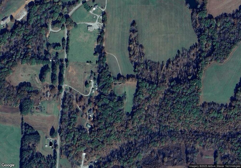
Map
Nearby Homes
- 0 Old Cox Pike Unit RTC2699167
- 7285 Northwest Hwy
- 0 Crow Cut Rd NW
- 7749 Crow Cut Rd
- 7231 Old Cox Pike
- 7279 Northwest Hwy
- 7194 Dice Lampley Rd
- 7281 Belvoir Dr
- 7295 Belvoir Dr
- 7220 Hanworth St
- 7218 Hanworth St
- 7214 Hanworth St
- 7212 Hanworth St
- Kingston Plan at Wynwood Park
- Primrose Plan at Wynwood Park
- Mayflower Plan at Wynwood Park
- 7111 Frances St
- 7283 Belvoir Dr
- 7309 Flat Rock Ct
- 7503 Atwater Cir
- 7150 Anderson Rd
- 7170 Anderson Rd
- 7126 Anderson Rd
- 7155 Anderson Rd
- 7139 Anderson Rd
- 7176 Anderson Rd
- 7144 Old Cox Pike
- 7173 Anderson Rd
- 7150 Old Cox Pike
- 0 Anderson Rd
- 7224 Anderson Rd
- 7140 Old Cox Pike
- 7125 Old Cox Pike
- 7199 Anderson Rd
- 7238 Anderson Rd
- 7225 Anderson Rd
- 7184 Old Cox Pike
- 7229 Anderson Rd
- 7207 Anderson Rd
- 7134 Old Cox Pike