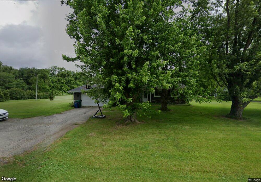
7197 W 1250 S Wanatah, IN 46390
Estimated Value: $215,000 - $249,000
3
Beds
2
Baths
1,480
Sq Ft
$158/Sq Ft
Est. Value
About This Home
This home is located at 7197 W 1250 S, Wanatah, IN 46390 and is currently estimated at $233,930, approximately $158 per square foot. 7197 W 1250 S is a home located in LaPorte County.
Ownership History
Date
Name
Owned For
Owner Type
Purchase Details
Closed on
Sep 18, 2014
Sold by
Friday Katherine E and Lang Katherine E
Bought by
Friday Russell and Friday Katherine E
Current Estimated Value
Home Financials for this Owner
Home Financials are based on the most recent Mortgage that was taken out on this home.
Original Mortgage
$77,955
Outstanding Balance
$25,673
Interest Rate
4.11%
Mortgage Type
New Conventional
Estimated Equity
$208,257
Purchase Details
Closed on
Jun 28, 2010
Sold by
Williams Dave and Williams Shawn
Bought by
Lang Katherine E
Home Financials for this Owner
Home Financials are based on the most recent Mortgage that was taken out on this home.
Original Mortgage
$79,923
Interest Rate
4.77%
Mortgage Type
FHA
Purchase Details
Closed on
Apr 7, 2006
Sold by
Froedge Melissa L
Bought by
Williams Dave and Williams Shawn
Home Financials for this Owner
Home Financials are based on the most recent Mortgage that was taken out on this home.
Original Mortgage
$72,000
Interest Rate
8.49%
Mortgage Type
Fannie Mae Freddie Mac
Create a Home Valuation Report for This Property
The Home Valuation Report is an in-depth analysis detailing your home's value as well as a comparison with similar homes in the area
Home Values in the Area
Average Home Value in this Area
Purchase History
| Date | Buyer | Sale Price | Title Company |
|---|---|---|---|
| Friday Russell | -- | None Available | |
| Lang Katherine E | -- | Community Title Company | |
| Williams Dave | -- | Chicago Title Insurance Co |
Source: Public Records
Mortgage History
| Date | Status | Borrower | Loan Amount |
|---|---|---|---|
| Open | Friday Russell | $77,955 | |
| Closed | Lang Katherine E | $79,923 | |
| Previous Owner | Williams Dave | $72,000 |
Source: Public Records
Tax History Compared to Growth
Tax History
| Year | Tax Paid | Tax Assessment Tax Assessment Total Assessment is a certain percentage of the fair market value that is determined by local assessors to be the total taxable value of land and additions on the property. | Land | Improvement |
|---|---|---|---|---|
| 2024 | $736 | $138,400 | $40,000 | $98,400 |
| 2023 | $657 | $120,200 | $30,000 | $90,200 |
| 2022 | $684 | $119,200 | $30,000 | $89,200 |
| 2021 | $673 | $114,000 | $30,000 | $84,000 |
| 2020 | $631 | $114,000 | $30,000 | $84,000 |
| 2019 | $605 | $109,200 | $27,500 | $81,700 |
| 2018 | $468 | $95,400 | $27,500 | $67,900 |
| 2017 | $426 | $92,900 | $27,500 | $65,400 |
| 2016 | $402 | $91,400 | $27,500 | $63,900 |
| 2014 | $260 | $73,700 | $23,300 | $50,400 |
Source: Public Records
Map
Nearby Homes
- 6465 W 1100 S
- 0 W Hwy 30 Unit GNR545374
- 627 Fieldcrest Cir
- 307 N Pennsylvania St
- 305 N Ohio St
- 116 Sprunger Dr
- 104 W Cross St
- 106 N Illinois St Unit 266
- 114 E Jersey St
- 105 Earl St
- 207 N Washington St
- 9552 S Bigelow Mill Rd
- 14501 S 400 W
- W 800 S V L
- 6948 W 1700 S
- 11333 S State Road 39
- 104 N Cummings St
- 210 Union St
- 627 E 300 S
- 7052 Long Ln