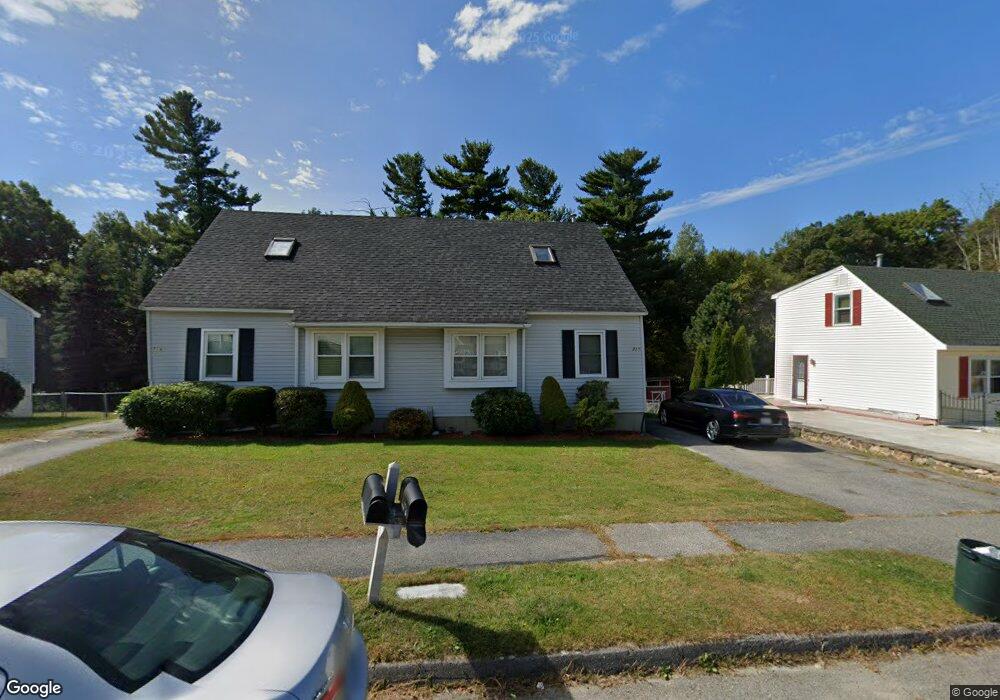
71B Timrod Dr Worcester, MA 01603
Webster Square NeighborhoodEstimated Value: $369,000 - $416,000
3
Beds
2
Baths
1,379
Sq Ft
$279/Sq Ft
Est. Value
About This Home
This home is located at 71B Timrod Dr, Worcester, MA 01603 and is currently estimated at $385,026, approximately $279 per square foot. 71B Timrod Dr is a home with nearby schools including Chandler Magnet, Jacob Hiatt Magnet School, and Heard Street Discovery Academy.
Create a Home Valuation Report for This Property
The Home Valuation Report is an in-depth analysis detailing your home's value as well as a comparison with similar homes in the area
Home Values in the Area
Average Home Value in this Area
Tax History Compared to Growth
Tax History
| Year | Tax Paid | Tax Assessment Tax Assessment Total Assessment is a certain percentage of the fair market value that is determined by local assessors to be the total taxable value of land and additions on the property. | Land | Improvement |
|---|---|---|---|---|
| 2025 | $4,313 | $327,000 | $69,600 | $257,400 |
| 2024 | $4,111 | $299,000 | $69,600 | $229,400 |
| 2023 | $3,915 | $273,000 | $60,500 | $212,500 |
| 2022 | $3,539 | $232,700 | $48,400 | $184,300 |
| 2021 | $3,376 | $207,400 | $38,700 | $168,700 |
| 2020 | $3,283 | $193,100 | $38,400 | $154,700 |
| 2019 | $3,211 | $178,400 | $33,600 | $144,800 |
| 2018 | $3,207 | $169,600 | $33,600 | $136,000 |
| 2017 | $3,027 | $157,500 | $33,600 | $123,900 |
| 2016 | $3,011 | $146,100 | $24,800 | $121,300 |
| 2015 | $2,932 | $146,100 | $24,800 | $121,300 |
| 2014 | $2,820 | $144,300 | $24,800 | $119,500 |
Source: Public Records
Map
Nearby Homes
- 41 Ledgecrest Dr
- 45 Ledgecrest Dr
- 76 Parsons Hill Dr Unit A
- 45 Wildwood Ave
- 19 Monticello Dr
- 336 Wildwood Ave
- 46 Locust St
- 68 Crest Cir
- 28 Alsada Dr
- 57 1st St
- 1511 Main St Unit C405
- 1511 Main St Unit C306
- 1 Ludlow St
- 47 4th St
- 45 Fourth St
- 45 Fourth St Unit Right
- 24 Ludlow St
- 118 Mccarthy Ave
- 26 Mildred Ave
- 114 Henshaw St