72 Alexander Rd Londonderry, NH 03053
Estimated Value: $552,000 - $628,000
3
Beds
2
Baths
1,664
Sq Ft
$358/Sq Ft
Est. Value
About This Home
This home is located at 72 Alexander Rd, Londonderry, NH 03053 and is currently estimated at $595,249, approximately $357 per square foot. 72 Alexander Rd is a home with nearby schools including North Londonderry Elementary School, Londonderry Middle School, and Londonderry Senior High School.
Ownership History
Date
Name
Owned For
Owner Type
Purchase Details
Closed on
Jul 17, 2020
Sold by
Roberts Mark E
Bought by
Mer Ret
Current Estimated Value
Purchase Details
Closed on
Aug 3, 1998
Sold by
Morin Richard A and Morin Denise A
Bought by
Roberts Mark E and Roberts Bonnie B
Create a Home Valuation Report for This Property
The Home Valuation Report is an in-depth analysis detailing your home's value as well as a comparison with similar homes in the area
Home Values in the Area
Average Home Value in this Area
Purchase History
| Date | Buyer | Sale Price | Title Company |
|---|---|---|---|
| Mer Ret | -- | None Available | |
| Roberts Mark E | $133,500 | -- |
Source: Public Records
Mortgage History
| Date | Status | Borrower | Loan Amount |
|---|---|---|---|
| Previous Owner | Roberts Mark E | $165,820 | |
| Previous Owner | Roberts Mark E | $170,000 | |
| Previous Owner | Roberts Mark E | $50,000 | |
| Previous Owner | Roberts Mark E | $50,000 |
Source: Public Records
Tax History Compared to Growth
Tax History
| Year | Tax Paid | Tax Assessment Tax Assessment Total Assessment is a certain percentage of the fair market value that is determined by local assessors to be the total taxable value of land and additions on the property. | Land | Improvement |
|---|---|---|---|---|
| 2024 | $7,670 | $475,200 | $210,500 | $264,700 |
| 2023 | $7,318 | $467,600 | $210,500 | $257,100 |
| 2022 | $6,851 | $370,700 | $158,300 | $212,400 |
| 2021 | $6,813 | $370,700 | $158,300 | $212,400 |
| 2020 | $6,409 | $318,700 | $122,400 | $196,300 |
| 2019 | $6,180 | $318,700 | $122,400 | $196,300 |
| 2018 | $5,640 | $258,700 | $103,700 | $155,000 |
| 2017 | $5,591 | $258,700 | $103,700 | $155,000 |
| 2016 | $5,562 | $258,700 | $103,700 | $155,000 |
| 2015 | $5,438 | $258,700 | $103,700 | $155,000 |
| 2014 | $5,456 | $258,700 | $103,700 | $155,000 |
| 2011 | -- | $265,800 | $103,700 | $162,100 |
Source: Public Records
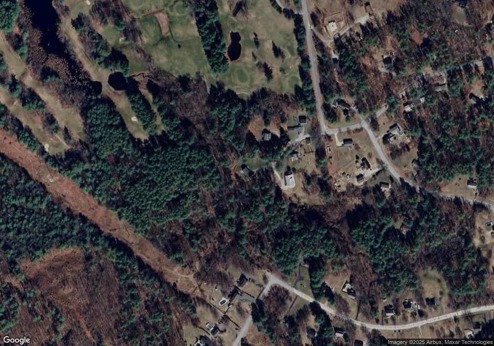
Map
Nearby Homes
- 35 Red Deer Rd
- 224 High Range Rd
- 8 Iroquois Cir
- 15 Harvey Rd
- 15 Tamarack Ct
- 193 Fieldstone Dr
- 193 Fieldstone Dr Unit 193
- 169 Fieldstone Dr
- 11 Elise Ave Unit Lot 91
- 118 Fieldstone Dr Unit 118
- 3 Chandler Dr
- 29 Watts Landing Unit 24
- 25 Chatfield Dr
- 53 Pine Ave
- 27 Buckingham Dr
- 67 Pullman St
- 3-C Mustang Dr Unit MODEL
- 9 Mustang Dr Unit C
- 9 Mustang Dr Unit B
- 7 Mustang Dr Unit C
- 71 Alexander Rd
- 70 Alexander Rd
- 70A Alexander Rd
- 69 Alexander Rd
- 2 Sara Beth Ln
- 38 Rolling Ridge Rd
- 68 Alexander Rd
- 4 Sara Beth Ln
- 67 Kimball Rd
- 36 Rolling Ridge Rd
- 43 Rolling Ridge Rd
- 67 Alexander Rd
- 34 Rolling Ridge Rd
- 6 Sara Beth Ln
- 3 Fairway Rd
- 65 Alexander Rd
- 41 Rolling Ridge Rd
- 66 Alexander Rd
- 8 Sara Beth Ln
- 39 Rolling Ridge Rd