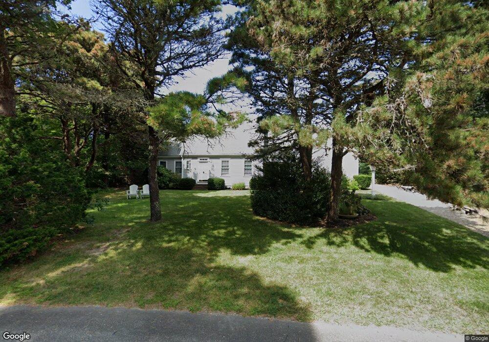
72 Ambergris Cir Brewster, MA 02631
Estimated Value: $1,372,000 - $1,456,000
3
Beds
2
Baths
1,976
Sq Ft
$711/Sq Ft
Est. Value
About This Home
This home is located at 72 Ambergris Cir, Brewster, MA 02631 and is currently estimated at $1,405,104, approximately $711 per square foot. 72 Ambergris Cir is a home located in Barnstable County with nearby schools including Stony Brook Elementary School, Eddy Elementary School, and Nauset Regional Middle School.
Ownership History
Date
Name
Owned For
Owner Type
Purchase Details
Closed on
Apr 22, 2008
Sold by
Sandra L Mcdermott T
Bought by
Ambergris Circle Nt
Current Estimated Value
Purchase Details
Closed on
Mar 6, 1995
Sold by
Haynes Marie T
Bought by
Mcdermott Sandra L
Create a Home Valuation Report for This Property
The Home Valuation Report is an in-depth analysis detailing your home's value as well as a comparison with similar homes in the area
Home Values in the Area
Average Home Value in this Area
Purchase History
| Date | Buyer | Sale Price | Title Company |
|---|---|---|---|
| Ambergris Circle Nt | -- | -- | |
| Mcdermott Sandra L | $87,000 | -- |
Source: Public Records
Mortgage History
| Date | Status | Borrower | Loan Amount |
|---|---|---|---|
| Previous Owner | Mcdermott Sandra L | $82,200 |
Source: Public Records
Tax History Compared to Growth
Tax History
| Year | Tax Paid | Tax Assessment Tax Assessment Total Assessment is a certain percentage of the fair market value that is determined by local assessors to be the total taxable value of land and additions on the property. | Land | Improvement |
|---|---|---|---|---|
| 2025 | $9,042 | $1,314,300 | $807,400 | $506,900 |
| 2024 | $8,486 | $1,246,100 | $761,700 | $484,400 |
| 2023 | $6,831 | $977,200 | $544,000 | $433,200 |
| 2022 | $6,434 | $819,600 | $453,200 | $366,400 |
| 2021 | $6,123 | $713,600 | $394,000 | $319,600 |
| 2020 | $6,052 | $702,100 | $394,000 | $308,100 |
| 2019 | $0 | $676,700 | $379,000 | $297,700 |
| 2018 | $5,747 | $695,800 | $406,000 | $289,800 |
| 2017 | $1,583 | $744,500 | $473,700 | $270,800 |
| 2016 | $6,085 | $721,800 | $464,500 | $257,300 |
| 2015 | $5,836 | $706,500 | $455,300 | $251,200 |
Source: Public Records
Map
Nearby Homes
- 60 Ambergris Cir
- 82 Ambergris Cir
- 187 Robbins Hill Rd
- 61 Ambergris Cir
- 141 Robbins Hill Rd
- 211 Robbins Hill Rd
- 83 Ambergris Cir
- 179 Robbins Hill Rd
- 52 Ambergris Cir
- 21 Ross Rd
- 96 Ambergris Cir
- 41 George Porter Cartway
- 16 Sand Bar Ln
- 35 George Porter Cartway
- 42 Ambergris Cir
- 229 Robbins Hill Rd
- 103 Ambergris Cir
- 157 Robbins Hill Rd
- 180 Robbins Hill Rd
- 7 Sand Bar Ln