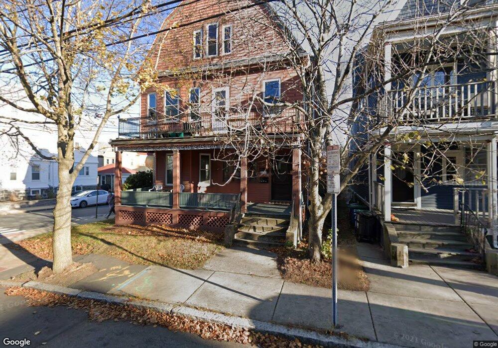
72 Bay State Ave Somerville, MA 02144
Davis Square NeighborhoodEstimated Value: $1,381,000 - $1,891,219
6
Beds
3
Baths
3,319
Sq Ft
$467/Sq Ft
Est. Value
About This Home
This home is located at 72 Bay State Ave, Somerville, MA 02144 and is currently estimated at $1,551,305, approximately $467 per square foot. 72 Bay State Ave is a home located in Middlesex County with nearby schools including Somerville High School and St. Clement Elementary School.
Ownership History
Date
Name
Owned For
Owner Type
Purchase Details
Closed on
Dec 2, 1997
Sold by
Mcmahon John P and Mcmahon Suzanne G
Bought by
Kodjak Andrei K and Kodjak Alison F
Current Estimated Value
Home Financials for this Owner
Home Financials are based on the most recent Mortgage that was taken out on this home.
Original Mortgage
$274,550
Interest Rate
7.26%
Mortgage Type
Purchase Money Mortgage
Create a Home Valuation Report for This Property
The Home Valuation Report is an in-depth analysis detailing your home's value as well as a comparison with similar homes in the area
Home Values in the Area
Average Home Value in this Area
Purchase History
| Date | Buyer | Sale Price | Title Company |
|---|---|---|---|
| Kodjak Andrei K | $295,000 | -- |
Source: Public Records
Mortgage History
| Date | Status | Borrower | Loan Amount |
|---|---|---|---|
| Open | Kodjak Andrei K | $125,000 | |
| Open | Kodjak Andrei K | $274,000 | |
| Closed | Kodjak Andrei K | $274,550 |
Source: Public Records
Tax History
| Year | Tax Paid | Tax Assessment Tax Assessment Total Assessment is a certain percentage of the fair market value that is determined by local assessors to be the total taxable value of land and additions on the property. | Land | Improvement |
|---|---|---|---|---|
| 2025 | $17,272 | $1,583,100 | $714,900 | $868,200 |
| 2024 | $15,999 | $1,520,800 | $714,900 | $805,900 |
| 2023 | $15,152 | $1,465,400 | $714,900 | $750,500 |
| 2022 | $14,275 | $1,402,300 | $680,800 | $721,500 |
| 2021 | $13,832 | $1,357,400 | $675,800 | $681,600 |
| 2020 | $13,300 | $1,318,100 | $676,300 | $641,800 |
| 2019 | $12,680 | $1,178,400 | $615,600 | $562,800 |
| 2018 | $11,619 | $1,027,300 | $559,700 | $467,600 |
| 2017 | $11,409 | $977,600 | $528,000 | $449,600 |
| 2016 | $11,039 | $881,000 | $471,500 | $409,500 |
| 2015 | $10,610 | $841,400 | $435,500 | $405,900 |
Source: Public Records
Map
Nearby Homes
- 16 Rogers Ave
- 68 Winslow Ave
- 371 Highland Ave
- 355 Highland Ave Unit 3
- 79 Willow Ave
- 69 Boston Ave
- 353 Summer St Unit 310
- 288 Cedar St
- 13 Warwick St
- 17 Holland St Unit 301
- 595 Broadway Unit 302
- 595 Broadway Unit 102
- 595 Broadway Unit 202
- 595 Broadway Unit 101
- 595 Broadway Unit 301
- 167 Albion St
- 49 Cherry St Unit 1
- 156 Albion St Unit 1
- 111 Pearson Rd
- 1004 Broadway Unit 3
- 7-2 Bay State Ave Unit 7
- 72-2 Bay State Ave Unit 72
- 74 Bay State Ave
- 74-2 Bay State Ave Unit 74
- 74 Bay State Ave Unit 2
- 78 Bay State Ave
- 78 Bay State Ave
- 78-2 Bay State Ave Unit 78
- 78 Bay State Ave Unit 1
- 68 Bay State Ave
- 68 Bay State Ave Unit 3
- 68-2 Bay State Ave Unit 68
- 68 Bay State Ave Unit 2
- 75 Lowden Ave
- 75 Lowden Ave Unit 2
- 77 Lowden Ave Unit 3
- 77 Lowden Ave
- 77 Lowden Ave Unit 2
- 77 Lowden Ave
- 80 Bay State Ave
Your Personal Tour Guide
Ask me questions while you tour the home.