Estimated Value: $445,000 - $547,000
3
Beds
1
Bath
1,364
Sq Ft
$353/Sq Ft
Est. Value
About This Home
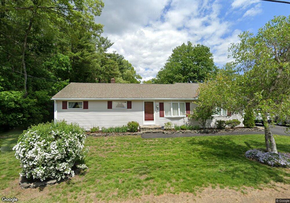
This home is located at 72 Garrison Rd, Dover, NH 03820 and is currently estimated at $481,336, approximately $352 per square foot. 72 Garrison Rd is a home located in Strafford County with nearby schools including Garrison School, Dover Middle School, and Dover Senior High School.
Ownership History
Date
Name
Owned For
Owner Type
Purchase Details
Closed on
Jun 10, 2024
Sold by
Mckenna Tracy L
Bought by
Tracy L Mckenna Ret and Mckenna
Current Estimated Value
Purchase Details
Closed on
Nov 4, 2021
Sold by
Talon Raymond J and Talon Linda J
Bought by
R J & Linda J Talon Ret and Talon
Create a Home Valuation Report for This Property
The Home Valuation Report is an in-depth analysis detailing your home's value as well as a comparison with similar homes in the area
Home Values in the Area
Average Home Value in this Area
Purchase History
| Date | Buyer | Sale Price | Title Company |
|---|---|---|---|
| Tracy L Mckenna Ret | -- | None Available | |
| Tracy L Mckenna Ret | -- | None Available | |
| R J & Linda J Talon Ret | -- | None Available | |
| R J & Linda J Talon Ret | -- | None Available |
Source: Public Records
Tax History
| Year | Tax Paid | Tax Assessment Tax Assessment Total Assessment is a certain percentage of the fair market value that is determined by local assessors to be the total taxable value of land and additions on the property. | Land | Improvement |
|---|---|---|---|---|
| 2024 | $8,531 | $469,500 | $159,300 | $310,200 |
| 2023 | $7,828 | $418,600 | $159,300 | $259,300 |
| 2022 | $7,482 | $377,100 | $143,400 | $233,700 |
| 2021 | $7,343 | $338,400 | $135,400 | $203,000 |
| 2020 | $7,110 | $286,100 | $119,500 | $166,600 |
| 2019 | $7,020 | $278,700 | $115,500 | $163,200 |
| 2018 | $6,579 | $264,000 | $107,500 | $156,500 |
| 2017 | $6,302 | $243,600 | $91,600 | $152,000 |
| 2016 | $5,944 | $226,100 | $87,900 | $138,200 |
| 2015 | $5,596 | $210,300 | $75,400 | $134,900 |
| 2014 | $5,361 | $206,100 | $71,200 | $134,900 |
| 2011 | $5,280 | $210,200 | $81,300 | $128,900 |
Source: Public Records
Map
Nearby Homes
- 19 Lenox Dr Unit A
- 38 Tideview Dr
- 4 Tanglewood Dr
- 13 Spruce Dr
- 6 Revolution Dr
- 16 Polly Ann Park
- 65 Polly Ann Trailer Park
- 69 Polly Ann Trailer Park
- 51 Constitution Way
- 15 Teresa Dr
- 14 Independence Dr
- 5 Hemlock Forest
- 1 Independence Dr
- 55 Pointe Place Unit 108
- 55 Pointe Place Unit 101
- 55 Pointe Place Unit 201
- 55 Pointe Place Unit 304
- 6 Hayden Dr
- 13 Stark Ave
- 16 Porch Light Dr Unit 2
Your Personal Tour Guide
Ask me questions while you tour the home.