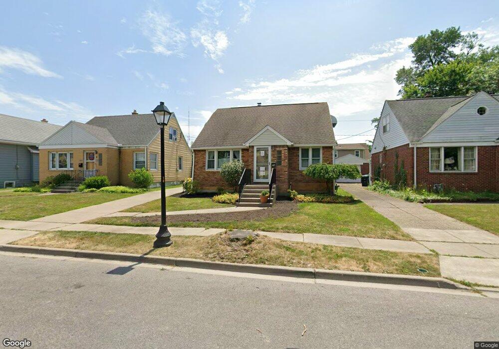
72 Hoover Ave Buffalo, NY 14217
Estimated Value: $242,000 - $317,000
4
Beds
2
Baths
1,613
Sq Ft
$165/Sq Ft
Est. Value
About This Home
This home is located at 72 Hoover Ave, Buffalo, NY 14217 and is currently estimated at $266,287, approximately $165 per square foot. 72 Hoover Ave is a home located in Erie County with nearby schools including Charles A Lindbergh Elementary School, Herbert Hoover Middle School, and Kenmore West Senior High School.
Ownership History
Date
Name
Owned For
Owner Type
Purchase Details
Closed on
Sep 9, 2004
Sold by
Wolanczyk Darlene M
Bought by
Rywick Thomas and Rywick Carol K
Current Estimated Value
Home Financials for this Owner
Home Financials are based on the most recent Mortgage that was taken out on this home.
Original Mortgage
$66,000
Outstanding Balance
$31,490
Interest Rate
6.08%
Mortgage Type
Purchase Money Mortgage
Estimated Equity
$234,797
Purchase Details
Closed on
Jul 8, 1994
Sold by
Loch Kathleen A
Bought by
Wolanczyk Darlene M
Create a Home Valuation Report for This Property
The Home Valuation Report is an in-depth analysis detailing your home's value as well as a comparison with similar homes in the area
Home Values in the Area
Average Home Value in this Area
Purchase History
We collect this data history from publicly available records. To have your information removed, we recommend requesting removal directly through your county’s website.
| Date | Buyer | Sale Price | Title Company |
|---|---|---|---|
| Rywick Thomas | $82,500 | -- | |
| Wolanczyk Darlene M | $70,000 | -- |
Source: Public Records
Mortgage History
We collect this data history from publicly available records. To have your information removed, we recommend requesting removal directly through your county’s website.
| Date | Status | Borrower | Loan Amount |
|---|---|---|---|
| Open | Rywick Thomas | $66,000 |
Source: Public Records
Tax History
| Year | Tax Paid | Tax Assessment Tax Assessment Total Assessment is a certain percentage of the fair market value that is determined by local assessors to be the total taxable value of land and additions on the property. | Land | Improvement |
|---|---|---|---|---|
| 2025 | $7,655 | $49,000 | $7,400 | $41,600 |
| 2024 | $7,655 | $49,000 | $7,400 | $41,600 |
| 2023 | $7,475 | $49,000 | $7,400 | $41,600 |
| 2022 | $6,580 | $49,000 | $7,400 | $41,600 |
| 2021 | $4,041 | $49,000 | $7,400 | $41,600 |
| 2020 | $4,503 | $49,000 | $7,400 | $41,600 |
| 2019 | $2,063 | $49,000 | $7,400 | $41,600 |
| 2018 | $3,767 | $49,000 | $7,400 | $41,600 |
| 2017 | $916 | $49,000 | $7,400 | $41,600 |
| 2016 | $3,562 | $49,000 | $7,400 | $41,600 |
| 2015 | -- | $49,000 | $7,400 | $41,600 |
| 2014 | -- | $48,400 | $7,400 | $41,000 |
Source: Public Records
Map
Nearby Homes
- 201 Mang Ave
- 302 Hinman Ave
- 170 W Hazeltine Ave
- 201 Ramsdell Ave
- 185 Ramsdell Ave
- 502 W Hazeltine Ave
- 46 Blum Ave
- 469 Hinman Ave
- 28 Blum Ave
- 86 Lasalle Ave
- 497 Hinman Ave
- 172 Tremont Ave
- 15 Blum Ave
- 321 Washington Ave
- 419 Tremont Ave
- 165 Tremont Ave
- 1455 Kenmore Ave
- 107 Wabash Ave
- 5 Ruhl Ave
- 36 Layer Ave
- 66 Hoover Ave
- 74 Hoover Ave
- 64 Hoover Ave
- 313 Tremaine Ave
- 317 Tremaine Ave
- 76 Hoover Ave
- 307 Tremaine Ave
- 321 Tremaine Ave
- 56 Hoover Ave
- 301 Tremaine Ave
- 69 Hoover Ave
- 73 Hoover Ave
- 65 Hoover Ave
- 77 Hoover Ave
- 297 Tremaine Ave
- 52 Hoover Ave
- 61 Hoover Ave
- 92 Hoover Ave
- 331 Tremaine Ave
- 293 Tremaine Ave
Your Personal Tour Guide
Ask me questions while you tour the home.