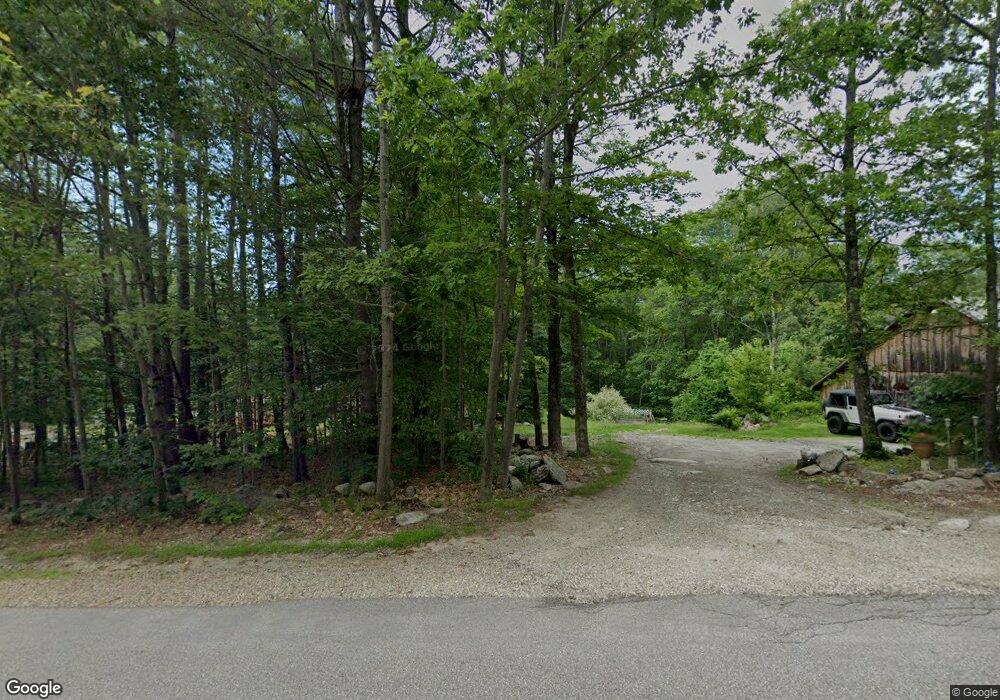
72 Lempster St Lempster, NH 03605
Estimated Value: $288,000 - $402,000
1
Bed
2
Baths
1,481
Sq Ft
$242/Sq Ft
Est. Value
About This Home
This home is located at 72 Lempster St, Lempster, NH 03605 and is currently estimated at $358,758, approximately $242 per square foot. 72 Lempster St is a home located in Sullivan County.
Create a Home Valuation Report for This Property
The Home Valuation Report is an in-depth analysis detailing your home's value as well as a comparison with similar homes in the area
Home Values in the Area
Average Home Value in this Area
Tax History Compared to Growth
Tax History
| Year | Tax Paid | Tax Assessment Tax Assessment Total Assessment is a certain percentage of the fair market value that is determined by local assessors to be the total taxable value of land and additions on the property. | Land | Improvement |
|---|---|---|---|---|
| 2024 | $5,397 | $187,018 | $30,018 | $157,000 |
| 2023 | $5,072 | $187,095 | $30,095 | $157,000 |
| 2022 | $4,429 | $187,266 | $30,266 | $157,000 |
| 2021 | $4,454 | $187,472 | $30,472 | $157,000 |
| 2020 | $4,656 | $187,449 | $30,449 | $157,000 |
| 2019 | $4,377 | $160,274 | $28,474 | $131,800 |
| 2018 | $4,691 | $160,360 | $28,560 | $131,800 |
| 2017 | $4,053 | $160,371 | $28,571 | $131,800 |
| 2016 | $3,954 | $160,330 | $28,530 | $131,800 |
| 2015 | $3,729 | $160,251 | $28,451 | $131,800 |
| 2014 | $3,563 | $178,307 | $41,207 | $137,100 |
| 2013 | $3,605 | $176,795 | $50,600 | $126,195 |
Source: Public Records
Map
Nearby Homes
- Lot 21 Dodge Pond Ln
- 0 Allen Rd
- 6 Benway Hill Rd
- 17 S Hill Dr
- 144 Keyes Hollow Rd
- 8 Hillside Dr
- 315 Gove Rd
- 133 Earl Ln
- 219 Crescent Lake Rd
- 0 Olds Rd
- 264 Olds Rd
- 189 S Hedgehog Hill Rd
- 94 Cold Pond Rd
- 444 Potato Hill Rd
- Lot 11-5 Ball Park Rd
- Lot 11-2 Ball Park Rd
- 23 Potato Hill Rd
- 17 Meadow Rd
- 24 Ball Park Rd
- 33 Four Corners Rd
