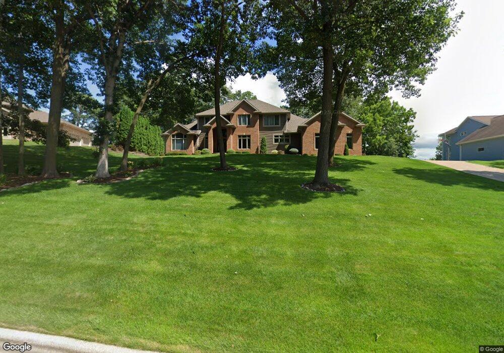
72 Mcintosh Rd E La Crescent, MN 55947
Estimated Value: $446,000 - $963,896
5
Beds
5
Baths
3,567
Sq Ft
$211/Sq Ft
Est. Value
About This Home
This home is located at 72 Mcintosh Rd E, La Crescent, MN 55947 and is currently estimated at $752,974, approximately $211 per square foot. 72 Mcintosh Rd E is a home located in Houston County with nearby schools including La Crescent-Hokah Elementary School, La Crescent-Hokah Middle School, and La Crescent-Hokah High School.
Ownership History
Date
Name
Owned For
Owner Type
Purchase Details
Closed on
Oct 15, 2018
Sold by
Nolop Suzanne J
Bought by
Nolop Troy R
Current Estimated Value
Create a Home Valuation Report for This Property
The Home Valuation Report is an in-depth analysis detailing your home's value as well as a comparison with similar homes in the area
Home Values in the Area
Average Home Value in this Area
Purchase History
| Date | Buyer | Sale Price | Title Company |
|---|---|---|---|
| Nolop Troy R | -- | -- |
Source: Public Records
Tax History
| Year | Tax Paid | Tax Assessment Tax Assessment Total Assessment is a certain percentage of the fair market value that is determined by local assessors to be the total taxable value of land and additions on the property. | Land | Improvement |
|---|---|---|---|---|
| 2025 | $13,428 | $939,100 | $113,000 | $826,100 |
| 2024 | $13,942 | $838,400 | $113,000 | $725,400 |
| 2023 | $12,912 | $843,200 | $94,000 | $749,200 |
| 2022 | $10,924 | $789,900 | $94,000 | $695,900 |
| 2021 | $10,828 | $586,500 | $94,000 | $492,500 |
| 2020 | $10,874 | $586,500 | $94,000 | $492,500 |
| 2019 | $10,228 | $586,500 | $94,000 | $492,500 |
| 2018 | $8,342 | $574,600 | $94,000 | $480,600 |
| 2017 | $8,342 | $474,400 | $94,400 | $380,000 |
| 2016 | $7,724 | $487,900 | $94,400 | $393,500 |
| 2015 | $7,288 | $461,800 | $89,200 | $372,600 |
| 2014 | $7,288 | $461,800 | $89,200 | $372,600 |
Source: Public Records
Map
Nearby Homes
- 134 Mcintosh Rd E
- 203 Eagles Bluff Rd
- 114 Fireside Ct
- 348 Regent Dr
- 225 Red Apple Dr
- 221 N 4th St
- 726 N 4th St
- 512 N Hill St
- Lot 7 & 8 Crescent Hills Dr
- 0 Hill St N
- 109 N Hill St
- 531 S 2nd St
- 440 S 7th St
- 604 Hickory Ct
- 812 Bridle Ln
- 805 Bridle Ln
- 912 S Oak St
- 906 Redwood St W
- 709 Wildwood Ct
- 0 Hickory Ln
- 24 Mcintosh Rd E
- 28 Mcintosh Rd E
- 32 Mcintosh Rd E
- 36 Mcintosh Rd E
- 44 Mcintosh Rd E
- 48 Mcintosh Rd E
- 52 Mcintosh Rd E
- 56 Mcintosh Rd E
- 64 Mcintosh Rd E
- 68 Mcintosh Rd E
- 76 Mcintosh Rd E
- 84 Mcintosh Rd E
- 88 Mcintosh Rd E
- 73 Mcintosh Rd E
- 69 Mcintosh Rd E
- 65 Mcintosh Rd E
- 59 Mcintosh Rd E
- 57 Mcintosh Rd E
- 53 Mcintosh Rd E
- 49 Mcintosh Rd E
Your Personal Tour Guide
Ask me questions while you tour the home.