72 Mooar Hill Rd Hollis, NH 03049
Hollis NeighborhoodEstimated Value: $815,000 - $938,000
4
Beds
3
Baths
2,587
Sq Ft
$339/Sq Ft
Est. Value
About This Home
This home is located at 72 Mooar Hill Rd, Hollis, NH 03049 and is currently estimated at $876,076, approximately $338 per square foot. 72 Mooar Hill Rd is a home with nearby schools including Hollis Primary School, Hollis Upper Elementary School, and Hollis-Brookline Middle School.
Ownership History
Date
Name
Owned For
Owner Type
Purchase Details
Closed on
May 1, 2001
Sold by
Glendale Homes Inc
Bought by
Kane Dianne M
Current Estimated Value
Home Financials for this Owner
Home Financials are based on the most recent Mortgage that was taken out on this home.
Original Mortgage
$301,800
Interest Rate
6.88%
Create a Home Valuation Report for This Property
The Home Valuation Report is an in-depth analysis detailing your home's value as well as a comparison with similar homes in the area
Home Values in the Area
Average Home Value in this Area
Purchase History
| Date | Buyer | Sale Price | Title Company |
|---|---|---|---|
| Kane Dianne M | $377,300 | -- |
Source: Public Records
Mortgage History
| Date | Status | Borrower | Loan Amount |
|---|---|---|---|
| Open | Kane Dianne M | $285,000 | |
| Closed | Kane Dianne M | $220,000 | |
| Closed | Kane Dianne M | $301,800 |
Source: Public Records
Tax History Compared to Growth
Tax History
| Year | Tax Paid | Tax Assessment Tax Assessment Total Assessment is a certain percentage of the fair market value that is determined by local assessors to be the total taxable value of land and additions on the property. | Land | Improvement |
|---|---|---|---|---|
| 2024 | $13,496 | $761,200 | $295,500 | $465,700 |
| 2023 | $12,682 | $761,200 | $295,500 | $465,700 |
| 2022 | $17,180 | $761,200 | $295,500 | $465,700 |
| 2021 | $10,771 | $474,500 | $181,500 | $293,000 |
| 2020 | $10,999 | $474,500 | $181,500 | $293,000 |
| 2019 | $10,961 | $474,500 | $181,500 | $293,000 |
| 2018 | $10,282 | $474,500 | $181,500 | $293,000 |
| 2017 | $10,008 | $432,300 | $161,500 | $270,800 |
| 2016 | $10,129 | $432,300 | $161,500 | $270,800 |
| 2015 | $9,952 | $432,300 | $161,500 | $270,800 |
| 2014 | $9,999 | $432,300 | $161,500 | $270,800 |
| 2013 | $9,865 | $432,300 | $161,500 | $270,800 |
Source: Public Records
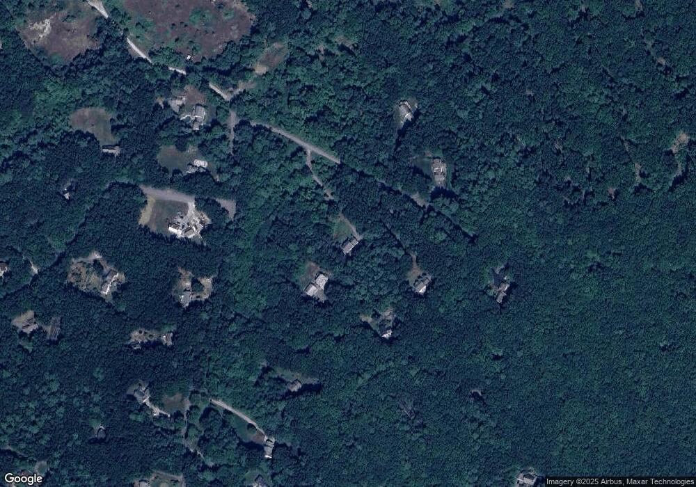
Map
Nearby Homes
- 77 Mooar Hill Rd
- 4-13 Woodmont Dr
- 25 Eastern Ave
- 16 Captain Danforth Ln
- 6 Veterans Rd Unit 15
- 102 Silver Lake Rd
- 172 Hayden Rd
- 3 Wood Ln
- 8 Carriage Ln
- 40-40A Pine Hill Rd
- 77 Broad St
- 3 Roedean Dr Unit C-207
- 199 Pine Hill Rd
- 201 Millwright Dr
- 118 Broad St
- 12 Fairway Dr
- 15 Four Winds Rd
- 75 Deerwood Dr Unit B
- 5 Dumaine Ave Unit B
- 5 Dumaine Ave Unit N
- 86 Mooar Hill Rd
- 76 Mooar Hill Rd
- 90 Mooar Hill Rd
- 78 Mooar Hill Rd
- 74 Mooar Hill Rd
- 92 Mooar Hill Rd
- 80 Mooar Hill Rd
- 82 Truell Rd
- 87 Mooar Hill Rd
- 83 Truell Rd
- 96 Mooar Hill Rd
- 93 Mooar Hill Rd
- 71 Truell Rd
- 76 Truell Rd
- 100 Mooar Hill Rd
- 20 Sargent Rd
- 72 Truell Rd
- 67 Sargent Rd
- 106 Mooar Hill Rd
- 101 Mooar Hill Rd