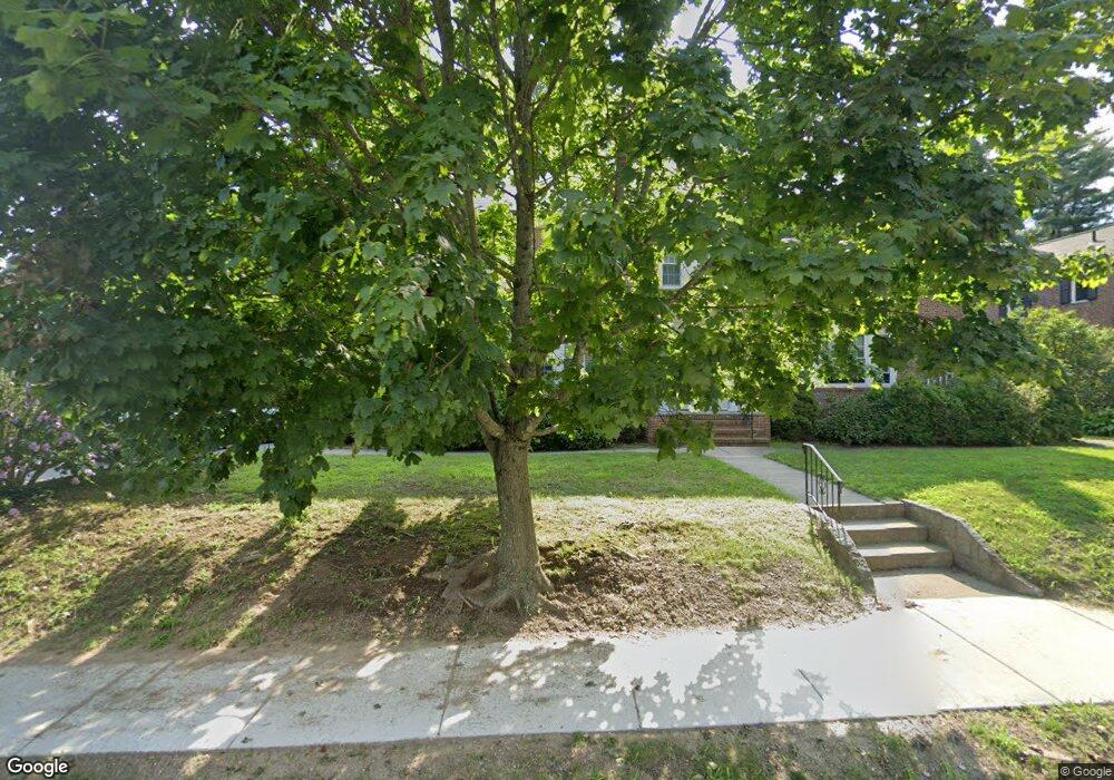
72 Poor St Unit 74 Andover, MA 01810
Shawsheen Heights NeighborhoodEstimated Value: $953,000 - $1,560,000
8
Beds
4
Baths
3,856
Sq Ft
$314/Sq Ft
Est. Value
About This Home
This home is located at 72 Poor St Unit 74, Andover, MA 01810 and is currently estimated at $1,210,726, approximately $313 per square foot. 72 Poor St Unit 74 is a home located in Essex County with nearby schools including West Elementary School, Andover West Middle School, and Andover High School.
Ownership History
Date
Name
Owned For
Owner Type
Purchase Details
Closed on
Nov 15, 2024
Sold by
Dichinson Supplemental Ne and Dichinson Dickinson-Amidon
Bought by
Dickinson-Amidon Holly and Dickinson David P
Current Estimated Value
Purchase Details
Closed on
Mar 2, 2018
Sold by
Dickinson Donald P Est and Dickinson
Bought by
Dickinson Sup Nds T and Dickinson D
Purchase Details
Closed on
Nov 28, 2016
Sold by
Dickinson Elaine A
Bought by
Dickinson Donald P
Purchase Details
Closed on
Sep 27, 1973
Bought by
Dickinson Donald P and Dickinson Elaine A
Create a Home Valuation Report for This Property
The Home Valuation Report is an in-depth analysis detailing your home's value as well as a comparison with similar homes in the area
Home Values in the Area
Average Home Value in this Area
Purchase History
| Date | Buyer | Sale Price | Title Company |
|---|---|---|---|
| Dickinson-Amidon Holly | -- | None Available | |
| Dickinson-Amidon Holly | -- | None Available | |
| Dickinson Sup Nds T | -- | -- | |
| Dickinson Sup Nds T | -- | -- | |
| Dickinson Donald P | -- | -- | |
| Dickinson Donald P | -- | -- | |
| Dickinson Donald P | $60,000 | -- |
Source: Public Records
Mortgage History
| Date | Status | Borrower | Loan Amount |
|---|---|---|---|
| Previous Owner | Dickinson Donald P | $150,000 | |
| Previous Owner | Dickinson Donald P | $75,000 | |
| Previous Owner | Dickinson Donald P | $85,000 |
Source: Public Records
Tax History Compared to Growth
Tax History
| Year | Tax Paid | Tax Assessment Tax Assessment Total Assessment is a certain percentage of the fair market value that is determined by local assessors to be the total taxable value of land and additions on the property. | Land | Improvement |
|---|---|---|---|---|
| 2024 | $13,190 | $1,024,100 | $502,600 | $521,500 |
| 2023 | $13,306 | $974,100 | $452,700 | $521,400 |
| 2022 | $12,268 | $840,300 | $400,700 | $439,600 |
| 2021 | $11,740 | $767,800 | $364,200 | $403,600 |
| 2020 | $11,008 | $733,400 | $355,400 | $378,000 |
| 2019 | $10,472 | $685,800 | $341,600 | $344,200 |
| 2018 | $9,952 | $636,300 | $322,100 | $314,200 |
| 2017 | $8,959 | $590,200 | $315,700 | $274,500 |
| 2016 | $8,191 | $552,700 | $315,700 | $237,000 |
| 2015 | $8,094 | $540,700 | $303,700 | $237,000 |
Source: Public Records
Map
Nearby Homes
- 6 Windsor St
- 10 Martingale Ln Unit 10
- 354 N Main St Unit 204
- 24 York St
- 59 William St
- 437 N Main St Unit C
- 2 Haskell Rd
- 102 Weare St
- 21 Clubview Dr Unit 21
- 5 Castle Heights Rd
- 38 Lincoln Cir E
- 46 Linwood St
- 156 High St
- 34 Leeds Terrace
- 25 Clubview Dr Unit 25
- 13 Clubview Dr Unit 13
- 2 Powder Mill Square Unit 2B
- 5 Lafayette Ave
- 5 Marc Ln
- 1 Longwood Dr Unit 105