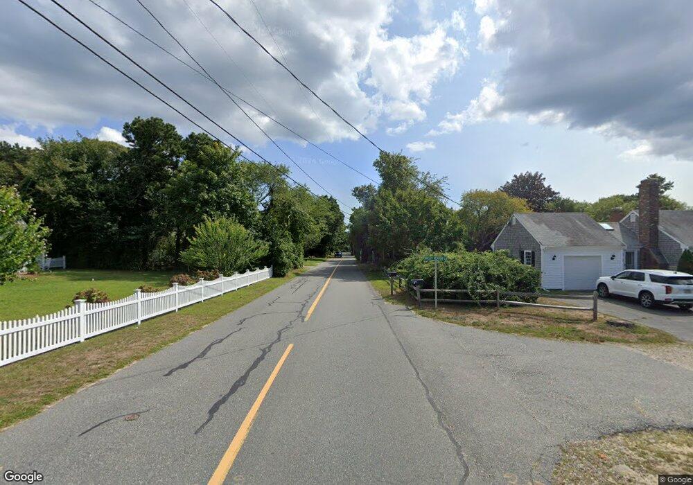
72 Robbins Hill Rd Brewster, MA 02631
Estimated Value: $1,383,197 - $1,633,000
4
Beds
3
Baths
2,201
Sq Ft
$697/Sq Ft
Est. Value
About This Home
This home is located at 72 Robbins Hill Rd, Brewster, MA 02631 and is currently estimated at $1,533,799, approximately $696 per square foot. 72 Robbins Hill Rd is a home located in Barnstable County with nearby schools including Stony Brook Elementary School, Eddy Elementary School, and Nauset Regional Middle School.
Ownership History
Date
Name
Owned For
Owner Type
Purchase Details
Closed on
Nov 9, 2000
Sold by
Beaver Pauline
Bought by
Sullivan Stephen J and Sullivan Holly M
Current Estimated Value
Home Financials for this Owner
Home Financials are based on the most recent Mortgage that was taken out on this home.
Original Mortgage
$250,000
Interest Rate
7.81%
Mortgage Type
Purchase Money Mortgage
Create a Home Valuation Report for This Property
The Home Valuation Report is an in-depth analysis detailing your home's value as well as a comparison with similar homes in the area
Home Values in the Area
Average Home Value in this Area
Purchase History
| Date | Buyer | Sale Price | Title Company |
|---|---|---|---|
| Sullivan Stephen J | $387,000 | -- |
Source: Public Records
Mortgage History
| Date | Status | Borrower | Loan Amount |
|---|---|---|---|
| Open | Sullivan Stephen J | $248,000 | |
| Closed | Sullivan Stephen J | $250,000 | |
| Previous Owner | Sullivan Stephen J | $20,000 | |
| Previous Owner | Sullivan Stephen J | $100,000 |
Source: Public Records
Tax History Compared to Growth
Tax History
| Year | Tax Paid | Tax Assessment Tax Assessment Total Assessment is a certain percentage of the fair market value that is determined by local assessors to be the total taxable value of land and additions on the property. | Land | Improvement |
|---|---|---|---|---|
| 2025 | $9,149 | $1,329,800 | $745,900 | $583,900 |
| 2024 | $7,588 | $1,114,300 | $562,900 | $551,400 |
| 2023 | $6,758 | $966,800 | $466,600 | $500,200 |
| 2022 | $6,338 | $807,400 | $388,800 | $418,600 |
| 2021 | $6,079 | $708,500 | $338,000 | $370,500 |
| 2020 | $5,963 | $691,800 | $338,000 | $353,800 |
| 2019 | $5,822 | $678,500 | $325,100 | $353,400 |
| 2018 | $5,495 | $665,300 | $325,100 | $340,200 |
| 2017 | $5,443 | $648,700 | $325,100 | $323,600 |
| 2016 | $5,175 | $613,900 | $318,700 | $295,200 |
| 2015 | $4,995 | $604,700 | $312,400 | $292,300 |
Source: Public Records
Map
Nearby Homes
- 0 Captain Thatcher Rd
- 10 Captain Thatcher Rd
- 12 Captain Thatcher Rd
- 11 Captain Thatcher Rd
- 86 Robbins Hill Rd
- 18 Captain Thatcher Rd
- 54 Robbins Hill Rd
- 0 Robbins Hill Rd Rear Rd Unit 22201310
- 8 Breezy Meadow Ln
- 9 Breezy Meadow Ln
- 91 Robbins Hill Rd
- 100 Robbins Hill Rd
- 19 Breezy Meadow Ln
- 51 Robbins Hill Rd
- 101 Robbins Hill Rd
- 104 Robbins Hill Rd
- 39 Robbins Hill Rd
- 27 Gladys Ln
- 30 Robbins Hill Rd
- 28 Breezy Meadow Ln