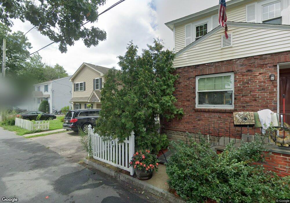
72 Sears Island Dr Worcester, MA 01606
Indian Lake East NeighborhoodEstimated Value: $617,000 - $709,306
4
Beds
2
Baths
2,115
Sq Ft
$320/Sq Ft
Est. Value
About This Home
This home is located at 72 Sears Island Dr, Worcester, MA 01606 and is currently estimated at $676,827, approximately $320 per square foot. 72 Sears Island Dr is a home located in Worcester County with nearby schools including Francis J. McGrath Elementary School, Jacob Hiatt Magnet School, and Chandler Magnet.
Ownership History
Date
Name
Owned For
Owner Type
Purchase Details
Closed on
Dec 22, 2011
Sold by
Est Grenache Robert J and Zelesky Carey A
Bought by
Minihan Patrick E
Current Estimated Value
Home Financials for this Owner
Home Financials are based on the most recent Mortgage that was taken out on this home.
Original Mortgage
$228,000
Outstanding Balance
$155,818
Interest Rate
3.99%
Mortgage Type
Purchase Money Mortgage
Estimated Equity
$521,009
Purchase Details
Closed on
Aug 14, 1992
Sold by
Wolf Harry F
Bought by
Grenache Robert
Create a Home Valuation Report for This Property
The Home Valuation Report is an in-depth analysis detailing your home's value as well as a comparison with similar homes in the area
Home Values in the Area
Average Home Value in this Area
Purchase History
| Date | Buyer | Sale Price | Title Company |
|---|---|---|---|
| Minihan Patrick E | $285,000 | -- | |
| Grenache Robert | $50,000 | -- |
Source: Public Records
Mortgage History
| Date | Status | Borrower | Loan Amount |
|---|---|---|---|
| Open | Minihan Patrick E | $228,000 | |
| Previous Owner | Grenache Robert | $165,000 | |
| Previous Owner | Grenache Robert | $100,000 | |
| Previous Owner | Grenache Robert | $128,000 |
Source: Public Records
Tax History Compared to Growth
Tax History
| Year | Tax Paid | Tax Assessment Tax Assessment Total Assessment is a certain percentage of the fair market value that is determined by local assessors to be the total taxable value of land and additions on the property. | Land | Improvement |
|---|---|---|---|---|
| 2025 | $9,342 | $708,254 | $240,554 | $467,700 |
| 2024 | $9,193 | $668,554 | $240,554 | $428,000 |
| 2023 | $8,781 | $612,348 | $209,148 | $403,200 |
| 2022 | $8,845 | $581,557 | $220,457 | $361,100 |
| 2021 | $8,486 | $521,252 | $176,452 | $344,800 |
| 2020 | $8,306 | $488,600 | $176,500 | $312,100 |
| 2019 | $7,342 | $407,900 | $109,400 | $298,500 |
| 2018 | $7,292 | $385,600 | $109,400 | $276,200 |
| 2017 | $7,171 | $373,100 | $109,400 | $263,700 |
| 2016 | $7,207 | $349,700 | $86,600 | $263,100 |
| 2015 | $7,018 | $349,700 | $86,600 | $263,100 |
| 2014 | $6,833 | $349,700 | $86,600 | $263,100 |
Source: Public Records
Map
Nearby Homes
- 577 Grove St
- 0 Grove St
- 46 Hastings Ave
- 42 Hastings Ave
- 28 Holden St
- 12 Alexander Rd
- 15 Boardman St
- 30 Boardman St
- 44 Boardman St
- 11 Gifford Dr
- 93 W Boylston St
- 89 W Boylston St Unit 4
- 87 W Boylston St
- 2 Stowell Ave Unit A
- 667 Grove St
- 3 Shoreham St
- 82 Holden St
- 40 Westwood Dr
- 97 Parkton Ave
- 8 Old Colony Rd
- 70 Sears Island Dr
- 76 Sears Island Dr
- 57 Sears Island Dr
- 73 Sears Island Dr
- 14 Doran Rd
- 79 Sears Island Dr
- 84 Sears Island Dr
- 55 Sears Island Dr
- 8 Doran Rd
- 64 Sears Island Dr
- 88 Sears Island Dr
- 52 Sears Island Dr
- 41 Sears Island Dr
- 91 Sears Island Dr
- 15 Doran Rd
- 92 Sears Island Dr
- 48 Sears Island Dr
- 39 Sears Island Dr
- 96 Sears Island Dr
- 1 Doran Rd