72 Skyline Dr Sanbornton, NH 03269
Sanbornton NeighborhoodEstimated Value: $654,177 - $782,000
3
Beds
3
Baths
2,880
Sq Ft
$247/Sq Ft
Est. Value
About This Home
This home is located at 72 Skyline Dr, Sanbornton, NH 03269 and is currently estimated at $712,544, approximately $247 per square foot. 72 Skyline Dr is a home located in Belknap County with nearby schools including Sanbornton Central School, Winnisquam Regional Middle School, and Winnisquam Regional High School.
Ownership History
Date
Name
Owned For
Owner Type
Purchase Details
Closed on
Dec 11, 2019
Sold by
Winsor William R and Winsor Lucille M
Bought by
W & L Winsor Ft 2019
Current Estimated Value
Purchase Details
Closed on
Oct 15, 1985
Bought by
Winsor William and Winsor Lucille
Create a Home Valuation Report for This Property
The Home Valuation Report is an in-depth analysis detailing your home's value as well as a comparison with similar homes in the area
Home Values in the Area
Average Home Value in this Area
Purchase History
| Date | Buyer | Sale Price | Title Company |
|---|---|---|---|
| W & L Winsor Ft 2019 | -- | None Available | |
| Winsor William | -- | -- |
Source: Public Records
Mortgage History
| Date | Status | Borrower | Loan Amount |
|---|---|---|---|
| Previous Owner | Winsor William | $100,000 |
Source: Public Records
Tax History
| Year | Tax Paid | Tax Assessment Tax Assessment Total Assessment is a certain percentage of the fair market value that is determined by local assessors to be the total taxable value of land and additions on the property. | Land | Improvement |
|---|---|---|---|---|
| 2025 | $7,937 | $600,800 | $216,300 | $384,500 |
| 2024 | $7,696 | $600,800 | $216,300 | $384,500 |
| 2023 | $7,234 | $600,800 | $216,300 | $384,500 |
| 2022 | $7,014 | $353,000 | $117,300 | $235,700 |
| 2021 | $6,488 | $353,000 | $117,300 | $235,700 |
| 2020 | $7,124 | $353,000 | $117,300 | $235,700 |
| 2019 | $6,785 | $353,000 | $117,300 | $235,700 |
| 2018 | $6,588 | $341,000 | $117,300 | $223,700 |
| 2017 | $6,784 | $287,100 | $62,700 | $224,400 |
| 2016 | $6,784 | $287,100 | $62,700 | $224,400 |
| 2015 | $6,893 | $287,100 | $62,700 | $224,400 |
| 2014 | $6,595 | $287,100 | $62,700 | $224,400 |
| 2013 | $6,595 | $287,100 | $62,700 | $224,400 |
Source: Public Records
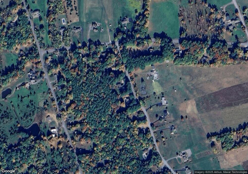
Map
Nearby Homes
- 92 Leavitt Rd
- 130 Upper Smith Rd
- 100 Lower Bay Rd
- 302 Black Brook Rd
- 38 Lynnewood Rd
- 56 Sun Lake Dr
- 11 Penny Ln
- US Rt3 Daniel Webster Hwy
- 10 Courtesy Ave
- 100 Cram Rd
- 166 Holman St
- 82 Sunset Dr
- 119 Black Brook Rd
- 6 Winnisquam Shores
- 45 Westview Dr
- 50 Blueberry Ln Unit 1
- 129 Sunset Dr
- 125 Sunset Dr
- 26 Juniper Dr
- 27 Wentworth Ave
- 66 Skyline Dr
- 19 Collieson Rd
- 80 Skyline Dr
- 90 Skyline Dr
- 61 Skyline Dr
- 47 Collieson Rd
- 175 Upper Bay Rd
- 0 Upper Bay Rd
- 56 Skyline Dr
- 52 Skyline Dr
- 183 Upper Bay Rd
- 11 Collieson Rd
- 5 Collieson Rd
- 153 Upper Bay Rd
- 167 Upper Bay Rd
- 189 Upper Bay Rd
- 193 Upper Bay Rd
- 20 Collieson Rd
- 65 Collieson Rd
- 42 Skyline Dr
Your Personal Tour Guide
Ask me questions while you tour the home.