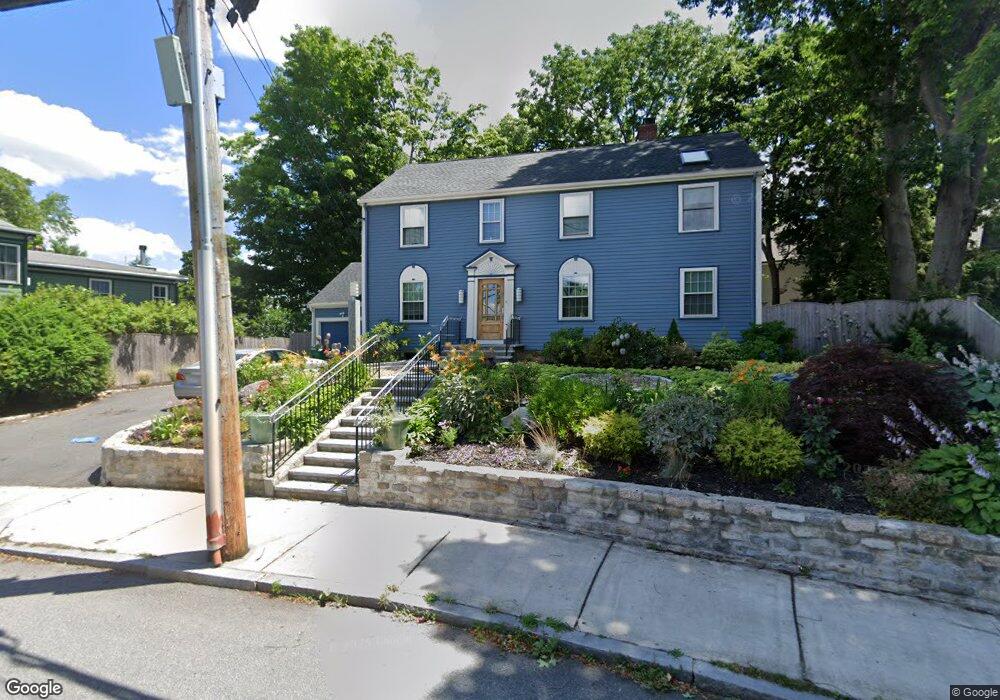
72 Summit St Newton, MA 02458
Newton Corner NeighborhoodEstimated Value: $1,540,000 - $2,002,000
3
Beds
3
Baths
1,875
Sq Ft
$912/Sq Ft
Est. Value
About This Home
This home is located at 72 Summit St, Newton, MA 02458 and is currently estimated at $1,709,441, approximately $911 per square foot. 72 Summit St is a home located in Middlesex County with nearby schools including Cabot Elementary School, F.A. Day Middle School, and Newton North High School.
Ownership History
Date
Name
Owned For
Owner Type
Purchase Details
Closed on
Oct 15, 2012
Sold by
Price David and Price Meryl
Bought by
Price Meryl
Current Estimated Value
Home Financials for this Owner
Home Financials are based on the most recent Mortgage that was taken out on this home.
Original Mortgage
$9,742
Outstanding Balance
$6,669
Interest Rate
3.57%
Estimated Equity
$1,702,772
Purchase Details
Closed on
Sep 30, 2009
Sold by
Rosen James E and Rosen Carol Goldenber
Bought by
Price David and Price Meryl
Purchase Details
Closed on
Apr 16, 1992
Sold by
Reed Farm Inc
Bought by
Price David and Price Barbara J
Purchase Details
Closed on
Aug 15, 1991
Sold by
Moll Jonathan L and Moll Debra C
Bought by
Rosen James E and Rosen Carol G
Create a Home Valuation Report for This Property
The Home Valuation Report is an in-depth analysis detailing your home's value as well as a comparison with similar homes in the area
Home Values in the Area
Average Home Value in this Area
Purchase History
| Date | Buyer | Sale Price | Title Company |
|---|---|---|---|
| Price Meryl | -- | -- | |
| Price David | $795,000 | -- | |
| Price David | $242,700 | -- | |
| Rosen James E | $350,000 | -- |
Source: Public Records
Mortgage History
| Date | Status | Borrower | Loan Amount |
|---|---|---|---|
| Open | Price Meryl | $9,742 | |
| Open | Price Meryl | $404,000 | |
| Closed | Price Meryl | $160,000 | |
| Previous Owner | Rosen James E | $408,000 | |
| Previous Owner | Rosen James E | $160,000 |
Source: Public Records
Tax History
| Year | Tax Paid | Tax Assessment Tax Assessment Total Assessment is a certain percentage of the fair market value that is determined by local assessors to be the total taxable value of land and additions on the property. | Land | Improvement |
|---|---|---|---|---|
| 2025 | $15,835 | $1,615,800 | $1,034,600 | $581,200 |
| 2024 | $15,311 | $1,568,700 | $1,004,500 | $564,200 |
| 2023 | $14,444 | $1,418,900 | $769,900 | $649,000 |
| 2022 | $13,821 | $1,313,800 | $712,900 | $600,900 |
| 2021 | $13,336 | $1,239,400 | $672,500 | $566,900 |
| 2020 | $12,939 | $1,239,400 | $672,500 | $566,900 |
| 2019 | $12,574 | $1,203,300 | $652,900 | $550,400 |
| 2018 | $11,915 | $1,101,200 | $589,300 | $511,900 |
| 2017 | $10,616 | $954,700 | $555,900 | $398,800 |
| 2016 | $10,153 | $892,200 | $519,500 | $372,700 |
| 2015 | $9,680 | $833,800 | $485,500 | $348,300 |
Source: Public Records
Map
Nearby Homes
- 0 Claremont St
- 216 Newtonville Ave Unit 218
- 84 E Side Pkwy Unit 84
- 549 Centre St Unit 2
- 327 Franklin St
- 35 George St Unit 35
- 37 George St Unit 37
- 33 George St Unit 33
- 34 Channing St Unit 2
- 59 Hyde Ave
- 9 Baldwin St Unit 15C
- 158 Pearl St Unit 2
- 123-125 Waban St Unit 125
- 269 Franklin St
- 68 Vernon St
- 123 Park St
- 48-50 Carleton St
- 48 Harvard St Unit 1
- 123 Sargent St
- 15 Jewett Place Unit C
- 66 Summit St
- 121 Bellevue St
- 75 Summit St
- 60 Summit St
- 6 Weldon Rd
- 48 Summit St
- 115 Bellevue St
- 59 Summit St
- 40 Summit St Unit 42
- 40 Summit St Unit 42
- 42 Summit St
- 145 Bellevue St
- 10 Weldon Rd
- 132 Bellevue St
- 49 Summit St
- 122 Bellevue St
- 55 Summit St
- 148 Bellevue St
- 41 Summit St
- 26 Summit St Unit 28
Your Personal Tour Guide
Ask me questions while you tour the home.