72 Swain Rd Meredith, NH 03253
Estimated Value: $956,239 - $1,865,000
3
Beds
3
Baths
3,053
Sq Ft
$412/Sq Ft
Est. Value
About This Home
This home is located at 72 Swain Rd, Meredith, NH 03253 and is currently estimated at $1,256,310, approximately $411 per square foot. 72 Swain Rd is a home located in Belknap County with nearby schools including Inter-Lakes Elementary School.
Ownership History
Date
Name
Owned For
Owner Type
Purchase Details
Closed on
Mar 30, 2010
Sold by
Laporte One Ft
Bought by
Maruszak Sandra L and Smith Eric G
Current Estimated Value
Home Financials for this Owner
Home Financials are based on the most recent Mortgage that was taken out on this home.
Original Mortgage
$417,000
Interest Rate
5.02%
Mortgage Type
Purchase Money Mortgage
Create a Home Valuation Report for This Property
The Home Valuation Report is an in-depth analysis detailing your home's value as well as a comparison with similar homes in the area
Home Values in the Area
Average Home Value in this Area
Purchase History
| Date | Buyer | Sale Price | Title Company |
|---|---|---|---|
| Maruszak Sandra L | $590,000 | -- |
Source: Public Records
Mortgage History
| Date | Status | Borrower | Loan Amount |
|---|---|---|---|
| Open | Maruszak Sandra L | $417,000 | |
| Closed | Maruszak Sandra L | $417,000 |
Source: Public Records
Tax History Compared to Growth
Tax History
| Year | Tax Paid | Tax Assessment Tax Assessment Total Assessment is a certain percentage of the fair market value that is determined by local assessors to be the total taxable value of land and additions on the property. | Land | Improvement |
|---|---|---|---|---|
| 2024 | $8,334 | $812,300 | $325,100 | $487,200 |
| 2023 | $8,034 | $812,300 | $325,100 | $487,200 |
| 2022 | $7,241 | $518,300 | $168,700 | $349,600 |
| 2021 | $6,961 | $518,300 | $168,700 | $349,600 |
| 2020 | $7,267 | $518,300 | $168,700 | $349,600 |
| 2019 | $7,119 | $448,000 | $136,600 | $311,400 |
| 2018 | $6,998 | $448,000 | $136,600 | $311,400 |
| 2016 | $6,496 | $416,700 | $115,400 | $301,300 |
| 2015 | $7,852 | $516,600 | $115,400 | $401,200 |
| 2014 | $7,661 | $516,600 | $115,400 | $401,200 |
| 2013 | $7,444 | $516,600 | $115,400 | $401,200 |
Source: Public Records
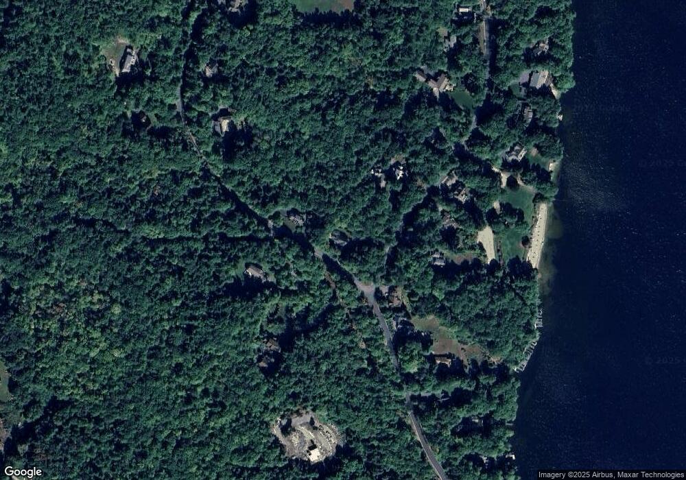
Map
Nearby Homes
- 0 Black Brook Rd Unit 5063655
- 264 Chemung Rd
- 36 New Rd
- 00 Chemung Rd Unit 31
- 65 Tucker Mountain Rd
- 1 Sanctuary Ln
- 247 Meredith Center Rd
- 18 Solace Pointe Rd
- 6 Loon Point Rd
- 14 Solace Pointe Rd
- 32 Eastman Shore Rd S
- 12 Serenity Ln
- 126 Meredith Center Rd
- 3114 Parade Rd
- 65 Corliss Hill Rd
- 2 Clover Ln
- 1 Clover Ln Unit 1
- 12 Clover Ln
- 00000 Severance Rd
- 6 Anthony Dr
- 62 Swain Rd
- lot 39 Swain Rd
- 10 Lower Waldron Rd
- 63 Swain Rd
- 74 Swain Rd
- 7 Lower Waldron Rd
- 9 Lower Waldron Rd
- 76 Swain Rd
- Lot R26 Swain Rd
- 69 Swain Rd
- 11 Lower Waldron Rd
- Lot 2-11 Swain Rd
- 16 Lower Waldron Rd
- 2-11 Swain Rd
- 54 Swain Rd
- 54 Swain Rd
- 0 Batchelder Swain Unit 4409743
- 22 Lower Waldron Rd
- 82 Swain Rd
- 17 Lower Waldron Rd