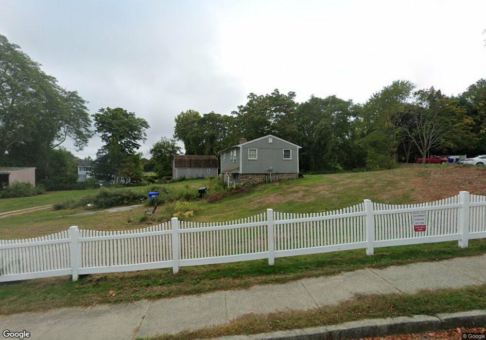
72 Thames Height Ln Groton, CT 06340
Estimated Value: $278,249 - $305,000
2
Beds
2
Baths
1,111
Sq Ft
$268/Sq Ft
Est. Value
About This Home
This home is located at 72 Thames Height Ln, Groton, CT 06340 and is currently estimated at $297,312, approximately $267 per square foot. 72 Thames Height Ln is a home located in New London County with nearby schools including Pleasant Valley School, Groton Middle School, and Robert E. Fitch High School.
Ownership History
Date
Name
Owned For
Owner Type
Purchase Details
Closed on
Oct 28, 2020
Sold by
Roberts Jeffrey R
Bought by
Huston Adam D
Current Estimated Value
Purchase Details
Closed on
Apr 26, 2006
Sold by
Flynn David M
Bought by
Roberts Jeffrey R
Home Financials for this Owner
Home Financials are based on the most recent Mortgage that was taken out on this home.
Original Mortgage
$186,423
Interest Rate
6.4%
Mortgage Type
VA
Create a Home Valuation Report for This Property
The Home Valuation Report is an in-depth analysis detailing your home's value as well as a comparison with similar homes in the area
Home Values in the Area
Average Home Value in this Area
Purchase History
| Date | Buyer | Sale Price | Title Company |
|---|---|---|---|
| Huston Adam D | $157,000 | None Available | |
| Roberts Jeffrey R | $162,500 | -- |
Source: Public Records
Mortgage History
| Date | Status | Borrower | Loan Amount |
|---|---|---|---|
| Previous Owner | Roberts Jeffrey R | $162,810 | |
| Previous Owner | Roberts Jeffrey R | $186,423 |
Source: Public Records
Tax History
| Year | Tax Paid | Tax Assessment Tax Assessment Total Assessment is a certain percentage of the fair market value that is determined by local assessors to be the total taxable value of land and additions on the property. | Land | Improvement |
|---|---|---|---|---|
| 2025 | $2,998 | $105,700 | $31,710 | $73,990 |
| 2024 | $2,831 | $105,700 | $31,710 | $73,990 |
| 2023 | $2,727 | $105,700 | $0 | $105,700 |
| 2022 | $2,660 | $105,700 | $0 | $105,700 |
| 2021 | $3,262 | $109,060 | $0 | $109,060 |
| 2020 | $3,270 | $109,060 | $0 | $109,060 |
| 2019 | $3,137 | $109,060 | $0 | $109,060 |
| 2018 | $3,125 | $109,060 | $0 | $109,060 |
| 2017 | $2,959 | $109,060 | $0 | $109,060 |
| 2016 | $2,745 | $107,520 | $0 | $107,520 |
Source: Public Records
Map
Nearby Homes
- 435 Military Hwy Unit 449
- 141 Starr Hill Rd
- 310 Lestertown Rd
- 22 Toll Gate Rd
- 0 Briar Hill Rd Unit 24148389
- 41 Riverview Ave
- 125 Murphys Dr Unit 125
- 1260 Route 12
- 0 Bonnie Cir
- 99 Pamela Ave
- 517-571 Gold Star Hwy
- 108 Thames St
- 85 Crown Knoll Ct Unit 110
- 279 Bridge St Unit 10
- 90 Crown Knoll Ct Unit 136
- 132 Thames St Unit R
- 25 Morgan Ct
- 74 Crown Knoll Ct Unit 162
- 14 Rosemary St
- 205 Winding Hollow Rd
- 74 Thames Height Ln
- 72 Thames Height Ln Unit 72
- 78 Thames Height Ln
- 70 Thames Height Ln
- 68 Thames Height Ln
- 68 Thames Height Ln Unit 68
- 66 Thames Height Ln
- 69 Thames Height Ln
- 67 Thames Height Ln
- 67 Thames Height Ln Unit 67
- 64 Thames Height Ln
- 58 Thames Height Ln
- 58 Thames Height Ln Unit 58
- 65 Thames Height Ln
- 62 Thames Height Ln
- 62 Thames Height Ln Unit 62
- 63 Thames Height Ln
- 63 Thames Height Ln Unit 63
- 56 Thames Height Ln
- 56 Thames Height Ln Unit 56
Your Personal Tour Guide
Ask me questions while you tour the home.