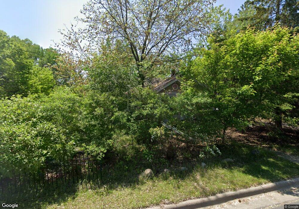
720 1st Ave Saint Paul, MN 55118
Estimated Value: $339,000 - $449,000
3
Beds
1
Bath
888
Sq Ft
$446/Sq Ft
Est. Value
About This Home
This home is located at 720 1st Ave, Saint Paul, MN 55118 and is currently estimated at $395,850, approximately $445 per square foot. 720 1st Ave is a home located in Dakota County with nearby schools including Somerset Elementary School, Heritage E-STEM Magnet School, and Two Rivers High School.
Ownership History
Date
Name
Owned For
Owner Type
Purchase Details
Closed on
Jan 10, 2002
Sold by
Moore Susan E
Bought by
Schelberg William
Current Estimated Value
Purchase Details
Closed on
Oct 20, 2000
Sold by
Bell David G and Bell Kelly R
Bought by
Moore Susan E
Purchase Details
Closed on
May 11, 1998
Sold by
Tuohy John P and Tuohy Jean E
Bought by
Bell David G and Bell Kelly R
Purchase Details
Closed on
Jun 27, 1996
Sold by
Tuohy John P and Tuohy Jean E
Bought by
Bell David G and Bell Kelly R
Create a Home Valuation Report for This Property
The Home Valuation Report is an in-depth analysis detailing your home's value as well as a comparison with similar homes in the area
Home Values in the Area
Average Home Value in this Area
Purchase History
| Date | Buyer | Sale Price | Title Company |
|---|---|---|---|
| Schelberg William | $185,000 | -- | |
| Moore Susan E | $168,000 | -- | |
| Bell David G | $92,500 | -- | |
| Bell David G | $92,500 | -- |
Source: Public Records
Mortgage History
| Date | Status | Borrower | Loan Amount |
|---|---|---|---|
| Closed | Bell David G | -- |
Source: Public Records
Tax History Compared to Growth
Tax History
| Year | Tax Paid | Tax Assessment Tax Assessment Total Assessment is a certain percentage of the fair market value that is determined by local assessors to be the total taxable value of land and additions on the property. | Land | Improvement |
|---|---|---|---|---|
| 2024 | $3,198 | $343,300 | $192,900 | $150,400 |
| 2023 | $3,210 | $330,800 | $188,600 | $142,200 |
| 2022 | $2,732 | $321,100 | $188,100 | $133,000 |
| 2021 | $2,718 | $273,300 | $163,600 | $109,700 |
| 2020 | $2,808 | $268,200 | $155,800 | $112,400 |
| 2019 | $2,717 | $267,000 | $148,400 | $118,600 |
| 2018 | $2,526 | $245,300 | $138,600 | $106,700 |
| 2017 | $2,339 | $236,700 | $132,100 | $104,600 |
| 2016 | $2,241 | $225,800 | $125,700 | $100,100 |
| 2015 | $2,321 | $201,579 | $115,648 | $85,931 |
| 2014 | -- | $201,034 | $109,162 | $91,872 |
| 2013 | -- | $194,494 | $105,298 | $89,196 |
Source: Public Records
Map
Nearby Homes
- 13XX Clement St
- 1328 Riverside Ln
- 1320 Riverside Ln Unit 303
- 1320 Riverside Ln Unit 112
- 672 Ivy Falls Ct
- 648 Sunset Ln
- 679 Maple Park Dr
- 625 Ivy Falls Ave
- 600 Wentworth Ave
- 685 Hidden Creek Trail
- 1174 Dodd Rd
- 8 Dorset Rd
- 1626 Diane Rd
- 1164 Dodd Rd
- 1774 Dodd Rd
- 614 Hidden Creek Trail
- 679 Marie Ave W
- XXX Barbara Ct
- 421 Ruby Dr
- 641 Sibley Memorial Hwy
- 1413 Clement St
- 1400 Medora Rd
- 724 1st Ave
- 1399 Clement St
- 1421 Clement St
- 1397 Clement St
- 1438 Knollwood Ln
- 1442 Knollwood Ln
- 1434 Knollwood Ln
- 1388 Medora Rd
- 1403 Medora Rd
- 1431 Clement St
- 1389 Clement St
- 1424 Knollwood Ln
- 1420 Knollwood Ln
- 1430 Knollwood Ln
- 706 1st Ave
- 1445 Knollwood Ln
- 1400 Clement St
- 1414 Knollwood Ln
