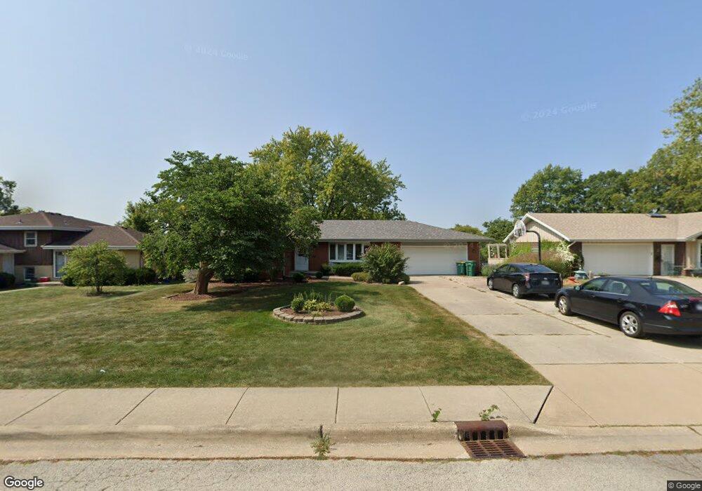
720 Kettering Ln Lemont, IL 60439
West Lemont NeighborhoodEstimated Value: $421,000 - $514,000
3
Beds
3
Baths
1,680
Sq Ft
$278/Sq Ft
Est. Value
About This Home
This home is located at 720 Kettering Ln, Lemont, IL 60439 and is currently estimated at $466,462, approximately $277 per square foot. 720 Kettering Ln is a home located in Cook County with nearby schools including Oakwood School, River Valley School, and Old Quarry Middle School.
Ownership History
Date
Name
Owned For
Owner Type
Purchase Details
Closed on
May 26, 2014
Sold by
Lambert Steven M and Lambert Ronald J
Bought by
Hunnewell Todd
Current Estimated Value
Home Financials for this Owner
Home Financials are based on the most recent Mortgage that was taken out on this home.
Original Mortgage
$257,744
Interest Rate
4.5%
Mortgage Type
FHA
Purchase Details
Closed on
Oct 4, 2012
Sold by
Lambert Ronald J
Bought by
Stech Lori R and Wright Lynn A
Purchase Details
Closed on
Aug 14, 2003
Sold by
First Midwest Bank
Bought by
Lambert Thomas H and Lambert Janice R
Create a Home Valuation Report for This Property
The Home Valuation Report is an in-depth analysis detailing your home's value as well as a comparison with similar homes in the area
Home Values in the Area
Average Home Value in this Area
Purchase History
| Date | Buyer | Sale Price | Title Company |
|---|---|---|---|
| Hunnewell Todd | $262,500 | Attorneys Title Guaranty Fun | |
| Stech Lori R | -- | Chicago Title Insurance Comp | |
| Lambert Thomas H | -- | -- |
Source: Public Records
Mortgage History
| Date | Status | Borrower | Loan Amount |
|---|---|---|---|
| Previous Owner | Hunnewell Todd | $257,744 |
Source: Public Records
Tax History Compared to Growth
Tax History
| Year | Tax Paid | Tax Assessment Tax Assessment Total Assessment is a certain percentage of the fair market value that is determined by local assessors to be the total taxable value of land and additions on the property. | Land | Improvement |
|---|---|---|---|---|
| 2024 | $7,897 | $38,001 | $8,438 | $29,563 |
| 2023 | $6,870 | $38,001 | $8,438 | $29,563 |
| 2022 | $6,870 | $28,297 | $7,425 | $20,872 |
| 2021 | $6,660 | $28,297 | $7,425 | $20,872 |
| 2020 | $6,730 | $28,297 | $7,425 | $20,872 |
| 2019 | $7,395 | $31,970 | $7,425 | $24,545 |
| 2018 | $7,273 | $31,970 | $7,425 | $24,545 |
| 2017 | $7,164 | $31,970 | $7,425 | $24,545 |
| 2016 | $6,212 | $26,312 | $6,075 | $20,237 |
| 2015 | $6,305 | $26,312 | $6,075 | $20,237 |
| 2014 | $6,366 | $26,312 | $6,075 | $20,237 |
| 2013 | $6,522 | $28,692 | $6,075 | $22,617 |
Source: Public Records
Map
Nearby Homes
- 4 Ridge Rd
- 606 Valley Dr
- 700 State St
- 1 W Division St
- 714 Walnut St
- 905 State St
- 207 E Custer St
- 15824 New Ave
- 1023 Walter St
- 1025 Walter St
- 15976 New Ave
- 1105 Walter St
- 1104 Walter St
- 700 Czacki St
- 614 Czacki St
- Brighton Plan at Copper Ridge Townhomes
- B Saybrook Plan at Copper Ridge Townhomes
- A Saybrook Plan at Copper Ridge Townhomes
- Sienna Plan at Copper Ridge Townhomes
- Breckenridge Plan at Copper Ridge Townhomes