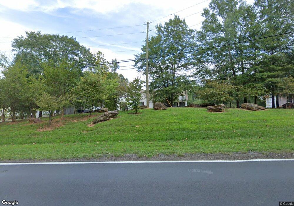
720 N Grove St Lincolnton, NC 28092
Estimated Value: $329,000 - $617,000
3
Beds
2
Baths
1,874
Sq Ft
$250/Sq Ft
Est. Value
About This Home
This home is located at 720 N Grove St, Lincolnton, NC 28092 and is currently estimated at $468,096, approximately $249 per square foot. 720 N Grove St is a home located in Lincoln County with nearby schools including Battleground Elementary School, Lincolnton Middle School, and Lincolnton High School.
Ownership History
Date
Name
Owned For
Owner Type
Purchase Details
Closed on
Oct 13, 2021
Sold by
Eaker Lester Franklin and Eaker Dyra Richard
Bought by
Tate Shannon and Tate Julie
Current Estimated Value
Home Financials for this Owner
Home Financials are based on the most recent Mortgage that was taken out on this home.
Original Mortgage
$299,000
Outstanding Balance
$272,660
Interest Rate
2.8%
Mortgage Type
New Conventional
Estimated Equity
$195,436
Create a Home Valuation Report for This Property
The Home Valuation Report is an in-depth analysis detailing your home's value as well as a comparison with similar homes in the area
Home Values in the Area
Average Home Value in this Area
Purchase History
| Date | Buyer | Sale Price | Title Company |
|---|---|---|---|
| Tate Shannon | $399,000 | None Available |
Source: Public Records
Mortgage History
| Date | Status | Borrower | Loan Amount |
|---|---|---|---|
| Open | Tate Shannon | $299,000 |
Source: Public Records
Tax History Compared to Growth
Tax History
| Year | Tax Paid | Tax Assessment Tax Assessment Total Assessment is a certain percentage of the fair market value that is determined by local assessors to be the total taxable value of land and additions on the property. | Land | Improvement |
|---|---|---|---|---|
| 2025 | $4,766 | $463,104 | $33,047 | $430,057 |
| 2024 | $4,746 | $463,104 | $33,047 | $430,057 |
| 2023 | $4,741 | $463,104 | $33,047 | $430,057 |
| 2022 | $3,143 | $256,849 | $22,365 | $234,484 |
| 2021 | $3,143 | $256,849 | $22,365 | $234,484 |
| 2020 | $2,977 | $256,849 | $22,365 | $234,484 |
| 2019 | $2,977 | $256,849 | $22,365 | $234,484 |
| 2018 | $2,721 | $223,704 | $22,320 | $201,384 |
| 2017 | $2,620 | $223,704 | $22,320 | $201,384 |
| 2016 | $2,620 | $223,704 | $22,320 | $201,384 |
| 2015 | $2,653 | $223,704 | $22,320 | $201,384 |
| 2014 | $2,808 | $235,334 | $23,670 | $211,664 |
Source: Public Records
Map
Nearby Homes
- 801 N Grove St
- 535 Norman Fair Ave
- 502 Forney Ave
- 524 Bonview Ave
- 327 Bonview Ave
- 411 W Sycamore St
- 316 N Government St
- 743 Lore Rd
- 627 W Main St
- 668 Riverside Dr
- 317 S High St
- 423 N Cedar St
- 815 N Laurel St
- 826 E Alexander St
- 665 S Grove St
- 681 S Grove St
- 689 S Grove St
- 697 S Grove St
- 1074 Better Brook Ln
- 329 E Congress St
- 736 N Grove St
- 708 N Grove St
- 712 Grovedale Dr
- 101 W Brookside St
- 402 Victor St
- 702 N Grove St
- 0 Victor St Unit 836623
- 801 N Grove St Unit A & B
- 404 Victor St
- 406 Jeb Seagle Dr
- 402 Jeb Seagle Dr
- 711 Grovedale Dr
- 619 N Grove St
- 614 N Grove St
- 428 Victor St
- 124 Linwood Dr
- 118 Linwood Dr
- 120 Linwood Dr
- 719 Grovedale Dr
- 423 Victor St