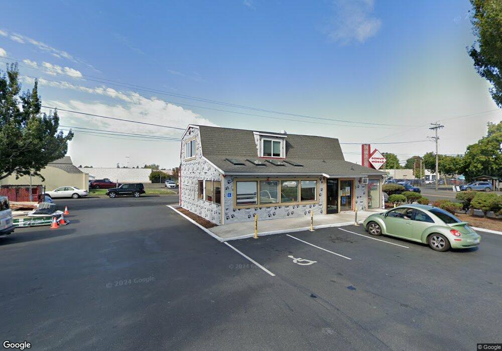
720 NE Burnside Rd Unit 2 Gresham, OR 97030
Downtown Gresham NeighborhoodEstimated Value: $973,164
Studio
--
Bath
2,410
Sq Ft
$404/Sq Ft
Est. Value
About This Home
This home is located at 720 NE Burnside Rd Unit 2, Gresham, OR 97030 and is currently estimated at $973,164, approximately $403 per square foot. 720 NE Burnside Rd Unit 2 is a home located in Multnomah County with nearby schools including Highland Elementary School, Clear Creek Middle School, and Gresham High School.
Ownership History
Date
Name
Owned For
Owner Type
Purchase Details
Closed on
Mar 8, 2024
Sold by
Cho Don Man
Bought by
Cho Living Trust and Cho
Current Estimated Value
Purchase Details
Closed on
Oct 28, 2003
Sold by
Vitale James S
Bought by
Cho Don Man and Cho Soo Ok
Home Financials for this Owner
Home Financials are based on the most recent Mortgage that was taken out on this home.
Original Mortgage
$324,000
Interest Rate
5.98%
Mortgage Type
Commercial
Create a Home Valuation Report for This Property
The Home Valuation Report is an in-depth analysis detailing your home's value as well as a comparison with similar homes in the area
Home Values in the Area
Average Home Value in this Area
Purchase History
| Date | Buyer | Sale Price | Title Company |
|---|---|---|---|
| Cho Living Trust | -- | None Listed On Document | |
| Cho Don Man | $360,000 | First American |
Source: Public Records
Mortgage History
| Date | Status | Borrower | Loan Amount |
|---|---|---|---|
| Previous Owner | Cho Don Man | $324,000 |
Source: Public Records
Tax History
| Year | Tax Paid | Tax Assessment Tax Assessment Total Assessment is a certain percentage of the fair market value that is determined by local assessors to be the total taxable value of land and additions on the property. | Land | Improvement |
|---|---|---|---|---|
| 2025 | $8,183 | $402,120 | -- | -- |
| 2024 | $7,833 | $390,410 | -- | -- |
| 2023 | $7,136 | $379,040 | $0 | $0 |
| 2022 | $6,937 | $368,000 | $0 | $0 |
| 2021 | $6,762 | $357,290 | $0 | $0 |
| 2020 | $6,363 | $346,890 | $0 | $0 |
| 2019 | $6,196 | $336,790 | $0 | $0 |
| 2018 | $5,908 | $326,990 | $0 | $0 |
| 2017 | $5,668 | $317,470 | $0 | $0 |
| 2016 | $4,998 | $308,230 | $0 | $0 |
Source: Public Records
Map
Nearby Homes
- 894 NE Linden Ave
- 660 NE 9th St
- 1783 1791 NE Beech Place
- 2021 NE Liberty Ave
- 450 NE 22nd St
- 491 NE Elliott Ave
- 1334 NE 22nd St
- 0 NE 6th St
- 1514 NE Hogan Dr Unit 131
- 1308 NE Hogan Dr Unit 166
- 1302 NE Hogan Dr
- 535 NE 24th St
- 1802 NE Hogan Dr Unit 97
- 1722 NE Hogan Dr Unit 103
- 210 NE 5th St
- 1830 NE Hogan Dr Unit 83
- 824 NW Mignonette Ave
- 1773 NE 19th St
- 234 NE Cleveland Ave
- 0 NE 5th St
- 619 NE Roberts Ave
- 755 NE Burnside Rd
- 1209 NE Linden Ave
- 1212 NE Linden Ave Unit 58
- 1212 NE Linden Ave
- 1255 NE Cleveland Ave
- 716 NE 16th Ct
- 718 NE 16th Ct
- 1675 NE Juniper Ave
- 1670 NE Juniper Ave
- 715 NE 16th Ct
- 1680 NE Juniper Ave
- 709 NE 16th Ct
- 1746 NE Elliott Place Unit 1754
- 1685 NE Cleveland Ave
- 1732 NE Elliott Place Unit 1738
- 1690 NE Juniper Ave
- 713 NE 16th Ct
- 711 NE 16th Ct
- 1640 NE Kelly Ave
Your Personal Tour Guide
Ask me questions while you tour the home.