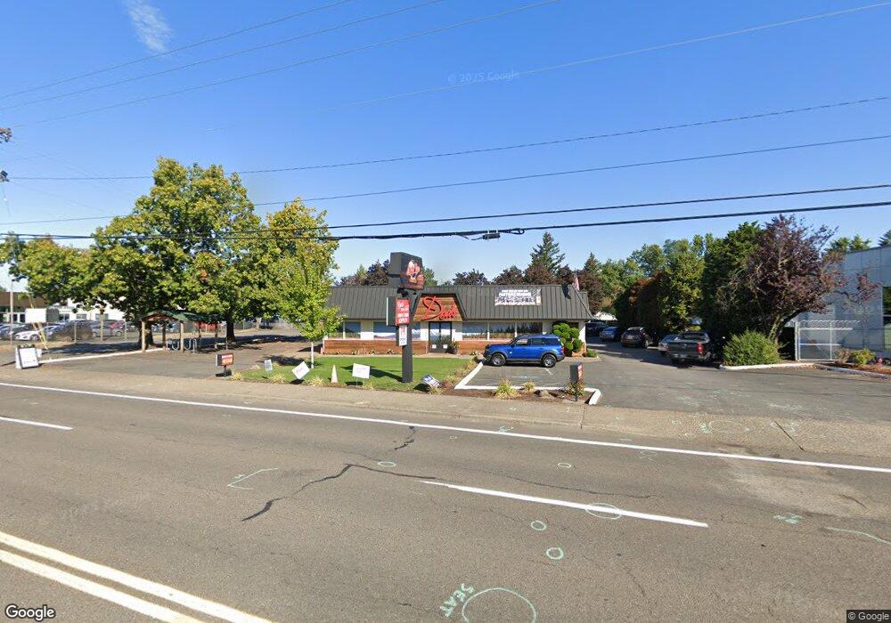
755 NE Burnside Rd Gresham, OR 97030
North Central NeighborhoodEstimated Value: $1,466,749
About This Home
This home is located at 755 NE Burnside Rd, Gresham, OR 97030 and is currently priced at $1,466,749, approximately $333 per square foot. 755 NE Burnside Rd is a home located in Multnomah County with nearby schools including Highland Elementary School, Clear Creek Middle School, and Gresham High School.
Ownership History
We collect this data history from publicly available records. To have your information removed, we recommend requesting removal directly through your county’s website.
Purchase Details
Purchase Details
Purchase Details
Home Values in the Area
Average Home Value in this Area
Purchase History
We collect this data history from publicly available records. To have your information removed, we recommend requesting removal directly through your county’s website.
| Date | Buyer | Sale Price | Title Company |
|---|---|---|---|
| $1,200,000 | First American Title Ncs | ||
| -- | None Available | ||
| -- | None Available | ||
| -- | None Available | ||
| -- | None Available |
Mortgage History
We collect this data history from publicly available records. To have your information removed, we recommend requesting removal directly through your county’s website.
| Date | Status | Borrower | Loan Amount |
|---|---|---|---|
| Closed | $1,200,000 |
Tax History
We collect this data history from publicly available records. To have your information removed, we recommend requesting removal directly through your county’s website.
| Year | Tax Paid | Tax Assessment Tax Assessment Total Assessment is a certain percentage of the fair market value that is determined by local assessors to be the total taxable value of land and additions on the property. | Land | Improvement |
|---|---|---|---|---|
| 2025 | $17,243 | $847,320 | -- | -- |
| 2024 | $16,506 | $822,650 | -- | -- |
| 2023 | $15,037 | $798,690 | $0 | $0 |
| 2022 | $14,617 | $775,430 | $0 | $0 |
| 2021 | $14,249 | $752,850 | $0 | $0 |
| 2020 | $13,407 | $730,930 | $0 | $0 |
| 2019 | $13,056 | $709,650 | $0 | $0 |
| 2018 | $12,449 | $688,990 | $0 | $0 |
| 2017 | $11,943 | $668,930 | $0 | $0 |
| 2016 | $10,530 | $649,450 | $0 | $0 |
| 2015 | $10,303 | $630,540 | $0 | $0 |
Map
- 1546 NE Cleveland Ave Unit 1568
- 600 NE 22nd St
- 450 NE 22nd St
- 1926 NE Vista Ave
- 1522 NE 21st St
- 535 NE 24th St
- 1702 NE Hogan Dr
- 1514 NE Hogan Dr Unit 131
- 1802 NE Hogan Dr Unit 97
- 1830 NE Hogan Dr Unit 83
- 105 NW 13th St
- 60 NE 23rd St
- 1322 NE Hogan Dr Unit 159
- 1312 NE Hogan Dr Unit 164
- 835 N Main Ave
- 494 NE Cleveland Ave
- 1935 NE 19th St Unit 56
- 1304 NW Victoria Ave
- 915 NE 4th St
- 2675 NE Cleveland Ave
- 718 NE 16th Ct
- 716 NE 16th Ct
- 715 NE 16th Ct
- 709 NE 16th Ct
- 711 NE 16th Ct
- 1670 NE Juniper Ave
- 713 NE 16th Ct
- 1680 NE Juniper Ave
- 1765 NE Juniper Ave
- 1690 NE Juniper Ave
- 1760 NE Elliott Place
- 1746 NE Elliott Place Unit 1754
- 1760 NE Juniper Ave
- 1775 NE Juniper Ave
- 700 NE 18th Ct
- 1770 NE Juniper Ave
- 1732 NE Elliott Place Unit 1738
- 1685 NE Cleveland Ave
- 1782 NE Elliott Place
- 1795 NE Juniper Ave
Ask me questions while you tour the home.