720 Oxbow Rd Orange, MA 01364
Estimated Value: $339,000 - $548,000
2
Beds
3
Baths
2,232
Sq Ft
$191/Sq Ft
Est. Value
About This Home
This home is located at 720 Oxbow Rd, Orange, MA 01364 and is currently estimated at $426,286, approximately $190 per square foot. 720 Oxbow Rd is a home located in Franklin County with nearby schools including Fisher Hill and Ralph C Mahar Regional School.
Ownership History
Date
Name
Owned For
Owner Type
Purchase Details
Closed on
May 12, 2017
Sold by
Smith Stephen
Bought by
Heyes Family Forests L
Current Estimated Value
Home Financials for this Owner
Home Financials are based on the most recent Mortgage that was taken out on this home.
Original Mortgage
$150,000
Outstanding Balance
$123,080
Interest Rate
4.14%
Mortgage Type
New Conventional
Estimated Equity
$303,206
Purchase Details
Closed on
May 12, 2016
Sold by
Smith Stephen and Smith Kathleen D
Bought by
Smith Stephen and Smith Kathleen D
Purchase Details
Closed on
Jul 11, 2013
Sold by
Smith Stephen and Smith Kathleen D
Bought by
Spinosa Kristin
Purchase Details
Closed on
May 23, 2006
Sold by
Smith Stephen
Bought by
Doherty Kathleen and Smith Stephen A
Purchase Details
Closed on
Aug 15, 2001
Sold by
Smith Marcia and Smith Stephen A
Bought by
Smith Stephen
Purchase Details
Closed on
Sep 27, 1991
Sold by
Russo Rudolph and Russo Grace M
Bought by
Smith Stephen and Smith Marcia J
Create a Home Valuation Report for This Property
The Home Valuation Report is an in-depth analysis detailing your home's value as well as a comparison with similar homes in the area
Home Values in the Area
Average Home Value in this Area
Purchase History
| Date | Buyer | Sale Price | Title Company |
|---|---|---|---|
| Smith Stephen A | -- | -- | |
| Smith Stephen A | -- | -- | |
| Spinosa Kristin A | -- | -- | |
| Doherty Kathleen A | -- | -- | |
| Smith Stephen | $17,500 | -- | |
| Smith Stephen A | $36,000 | -- |
Source: Public Records
Mortgage History
| Date | Status | Borrower | Loan Amount |
|---|---|---|---|
| Previous Owner | Smith Stephen A | $125,000 | |
| Previous Owner | Smith Stephen A | $37,000 |
Source: Public Records
Tax History
| Year | Tax Paid | Tax Assessment Tax Assessment Total Assessment is a certain percentage of the fair market value that is determined by local assessors to be the total taxable value of land and additions on the property. | Land | Improvement |
|---|---|---|---|---|
| 2025 | $56 | $339,600 | $39,500 | $300,100 |
| 2024 | $5,385 | $308,800 | $39,500 | $269,300 |
| 2023 | $5,122 | $285,200 | $39,500 | $245,700 |
| 2022 | $5,289 | $276,600 | $39,500 | $237,100 |
| 2021 | $5,371 | $267,900 | $56,100 | $211,800 |
| 2020 | $5,253 | $258,400 | $55,700 | $202,700 |
| 2019 | $5,074 | $225,300 | $48,500 | $176,800 |
| 2018 | $4,868 | $221,900 | $54,100 | $167,800 |
| 2017 | $4,711 | $221,900 | $54,100 | $167,800 |
| 2016 | $4,783 | $220,400 | $54,100 | $166,300 |
| 2015 | $4,582 | $220,600 | $54,100 | $166,500 |
| 2014 | $4,414 | $223,600 | $54,100 | $169,500 |
Source: Public Records
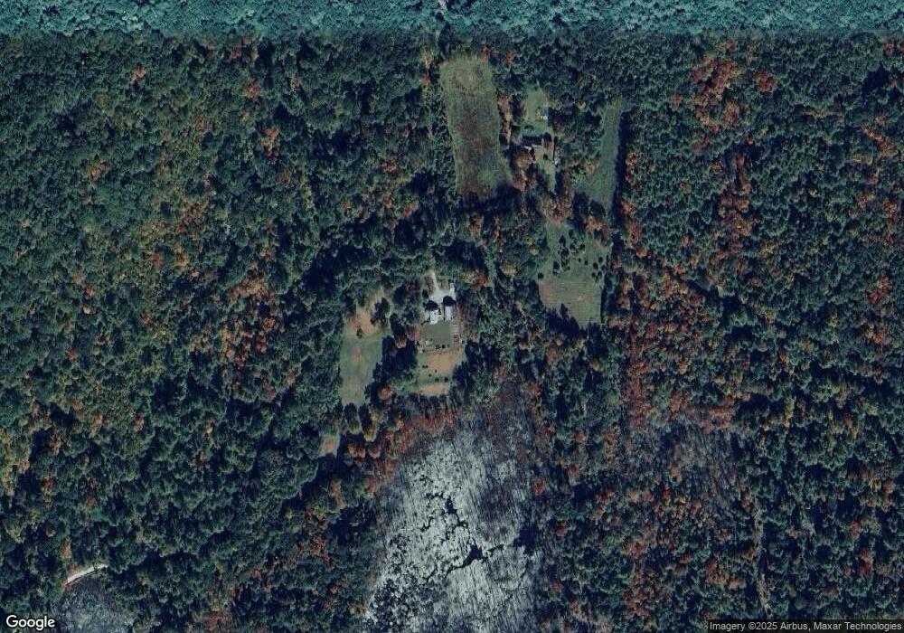
Map
Nearby Homes
- 49 Lincoln Ave
- 56 Shelter St
- 30 Cottage St
- 36 Summit St Unit A
- 36 Summit St Unit B
- 166-168 W Main St
- 83 W Main St
- 50 E Main St
- 58 E Main St
- 12-14 E Main St
- 222 W River St
- 15 A-B Tully Rd
- 270 S Main St
- 109 Royalston Rd
- 52 East Rd
- 30 Stone Valley Rd
- 44 Moss Brook Rd
- 313-315 Walnut Hill Rd
- 113 New Athol Rd Unit 35
- 15 Tully Rd
Your Personal Tour Guide
Ask me questions while you tour the home.