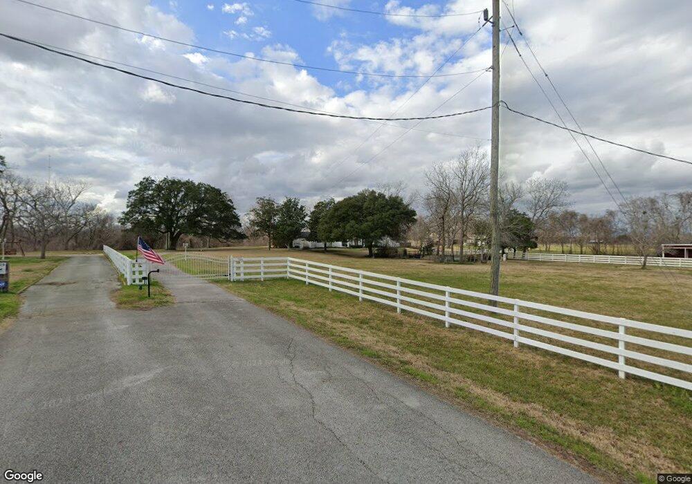
720 Perry St Rosenberg, TX 77471
Estimated Value: $689,000 - $862,933
5
Beds
4
Baths
5,476
Sq Ft
$145/Sq Ft
Est. Value
About This Home
This home is located at 720 Perry St, Rosenberg, TX 77471 and is currently estimated at $796,644, approximately $145 per square foot. 720 Perry St is a home located in Fort Bend County with nearby schools including Bentley Elementary School, Briscoe Junior High School, and Foster High School.
Ownership History
Date
Name
Owned For
Owner Type
Purchase Details
Closed on
Jan 26, 2017
Sold by
Brown Cindy F and Brown Cynthia F
Bought by
Ray Stephen G and Ray Ashley B
Current Estimated Value
Home Financials for this Owner
Home Financials are based on the most recent Mortgage that was taken out on this home.
Original Mortgage
$345,800
Outstanding Balance
$285,987
Interest Rate
4.16%
Mortgage Type
New Conventional
Estimated Equity
$510,657
Purchase Details
Closed on
Feb 6, 2002
Sold by
Brown James L
Bought by
Brown Cynthia Ann
Home Financials for this Owner
Home Financials are based on the most recent Mortgage that was taken out on this home.
Original Mortgage
$185,000
Interest Rate
6.93%
Mortgage Type
Seller Take Back
Purchase Details
Closed on
Mar 19, 1993
Sold by
Green Jerry D
Bought by
Ray Stephen G and Ray Ashley B
Create a Home Valuation Report for This Property
The Home Valuation Report is an in-depth analysis detailing your home's value as well as a comparison with similar homes in the area
Home Values in the Area
Average Home Value in this Area
Purchase History
| Date | Buyer | Sale Price | Title Company |
|---|---|---|---|
| Ray Stephen G | -- | None Available | |
| Brown Cynthia Ann | -- | -- | |
| Ray Stephen G | -- | -- | |
| Ray Stephen G | -- | -- |
Source: Public Records
Mortgage History
| Date | Status | Borrower | Loan Amount |
|---|---|---|---|
| Open | Ray Stephen G | $345,800 | |
| Previous Owner | Ray Stephen G | $185,000 |
Source: Public Records
Tax History
| Year | Tax Paid | Tax Assessment Tax Assessment Total Assessment is a certain percentage of the fair market value that is determined by local assessors to be the total taxable value of land and additions on the property. | Land | Improvement |
|---|---|---|---|---|
| 2025 | $9,511 | $781,403 | $223,957 | $557,446 |
| 2024 | $9,511 | $717,978 | $66,755 | $651,223 |
| 2023 | $8,644 | $652,707 | $0 | $736,167 |
| 2022 | $9,015 | $593,370 | $0 | $667,540 |
| 2021 | $9,142 | $539,430 | $76,260 | $463,170 |
| 2020 | $9,544 | $554,150 | $76,260 | $477,890 |
| 2019 | $9,340 | $503,770 | $76,260 | $427,510 |
| 2018 | $9,937 | $534,530 | $76,260 | $458,270 |
| 2017 | $9,924 | $532,400 | $76,260 | $456,140 |
| 2016 | $9,022 | $484,000 | $80,440 | $403,560 |
| 2015 | $5,981 | $440,000 | $67,480 | $372,520 |
| 2014 | $5,984 | $400,000 | $62,150 | $337,850 |
Source: Public Records
Map
Nearby Homes
- 1101 Baker Rd
- 1021 Mehrens Rd
- 00 Baker Rd
- 6410 Oxford Lake Dr
- 503 Willow St
- 6027 Prince Place Dr
- 0 Brazos St
- 2019 Preston Park
- 6007 Prince Place Dr
- 6014 Prince Place Dr
- 204 3rd St
- 0 Fm 723 Rd
- 6014 Watford Bend
- 1333 Highway 36 N
- 2027 Wembley Way
- 401 2nd St
- 413 2nd St
- 6111 Wickshire Dr
- 5922 Watford Bend
- 1605 Walnut Ave
Your Personal Tour Guide
Ask me questions while you tour the home.