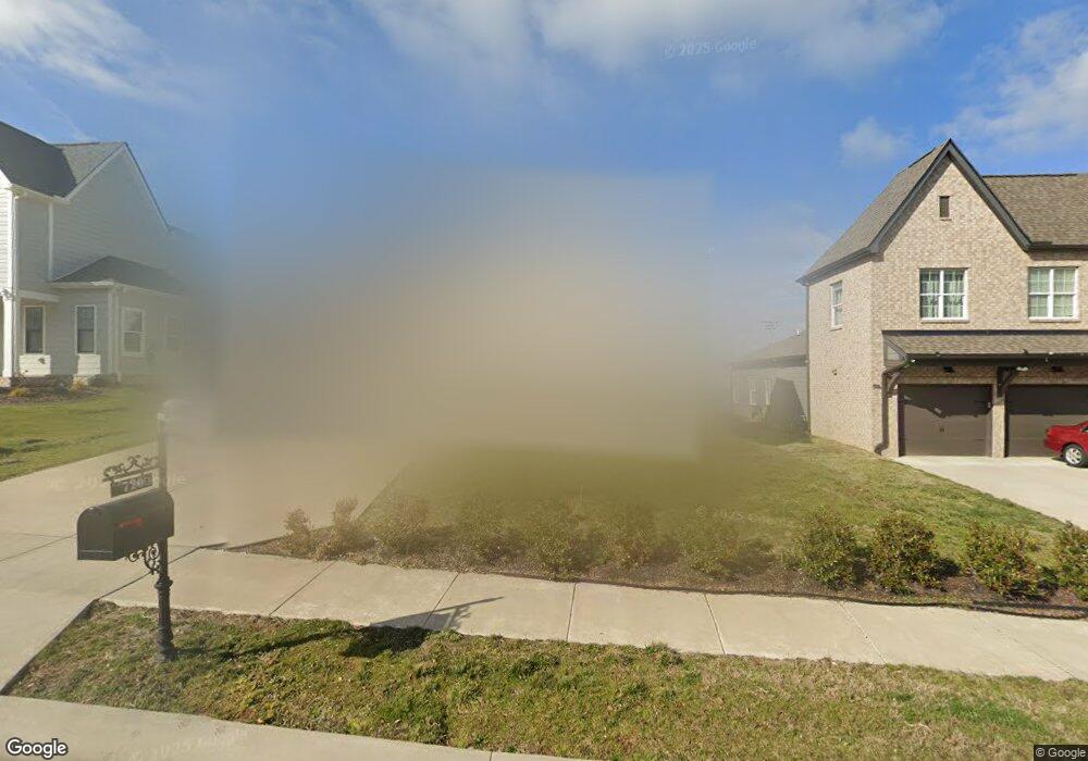
720 Plowson Rd Mount Juliet, TN 37122
Estimated Value: $600,921 - $706,000
--
Bed
3
Baths
2,907
Sq Ft
$228/Sq Ft
Est. Value
About This Home
This home is located at 720 Plowson Rd, Mount Juliet, TN 37122 and is currently estimated at $663,480, approximately $228 per square foot. 720 Plowson Rd is a home located in Wilson County with nearby schools including Stoner Creek Elementary School, West Wilson Middle School, and Mt. Juliet High School.
Ownership History
Date
Name
Owned For
Owner Type
Purchase Details
Closed on
Jan 15, 2020
Sold by
Rawlins Lauren and Rawlins Ross
Bought by
Patel Bhoomi and Patel Ankit
Current Estimated Value
Home Financials for this Owner
Home Financials are based on the most recent Mortgage that was taken out on this home.
Original Mortgage
$364,000
Interest Rate
2.71%
Mortgage Type
New Conventional
Purchase Details
Closed on
Mar 15, 2019
Sold by
Jackson Hills Partners Llc
Bought by
Rawlins Lauren and Rawlins Ross
Home Financials for this Owner
Home Financials are based on the most recent Mortgage that was taken out on this home.
Original Mortgage
$309,567
Interest Rate
4.4%
Mortgage Type
New Conventional
Purchase Details
Closed on
Aug 21, 2018
Sold by
Propst Relaty Nashville Llc
Bought by
Jackson Hills Patners Llc
Create a Home Valuation Report for This Property
The Home Valuation Report is an in-depth analysis detailing your home's value as well as a comparison with similar homes in the area
Home Values in the Area
Average Home Value in this Area
Purchase History
| Date | Buyer | Sale Price | Title Company |
|---|---|---|---|
| Patel Bhoomi | $455,000 | Stewart Title Company Tn Div | |
| Rawlins Lauren | $386,959 | Windmill Title Llc | |
| Jackson Hills Patners Llc | $427,500 | Windmill Title Llc |
Source: Public Records
Mortgage History
| Date | Status | Borrower | Loan Amount |
|---|---|---|---|
| Previous Owner | Patel Bhoomi | $364,000 | |
| Previous Owner | Rawlins Lauren | $309,567 |
Source: Public Records
Tax History Compared to Growth
Tax History
| Year | Tax Paid | Tax Assessment Tax Assessment Total Assessment is a certain percentage of the fair market value that is determined by local assessors to be the total taxable value of land and additions on the property. | Land | Improvement |
|---|---|---|---|---|
| 2024 | $1,961 | $102,750 | $20,000 | $82,750 |
| 2022 | $1,961 | $102,750 | $20,000 | $82,750 |
| 2021 | $2,074 | $102,750 | $20,000 | $82,750 |
| 2020 | $2,209 | $102,750 | $20,000 | $82,750 |
| 2019 | $409 | $82,250 | $16,250 | $66,000 |
| 2018 | $409 | $16,250 | $16,250 | $0 |
Source: Public Records
Map
Nearby Homes
- 701 Plowson Rd
- 247 Croft Way
- 243 Croft Way
- 2011 Stonebrook Cir
- 3140 Hidden Creek Dr
- 270 Croft Way
- 1050 Stonehollow Way
- 27 Yearling Way
- 1012 Zane Dr
- 1010 Zane Dr
- 1019 Zane Dr
- 1101 Codah Dr
- 1015 Zane Dr
- Weston Plan at Bradshaw Farms - Estates
- Ansley Plan at Bradshaw Farms - Estates
- Buchanan Plan at Bradshaw Farms - Estates
- Kingston Plan at Bradshaw Farms - Estates
- Ashford Plan at Bradshaw Farms - Estates
- 1107 Codah Dr
- 1109 Codah Dr
- 720 Plowson Rd Unit 512
- 720 Plowson Rd
- 722 Plowson Rd
- 722 Plowson Rd
- 722 Plowson Rd Unit 511
- 718 Plowson Rd
- 716 Plowson Rd
- 716 Plowson Rd
- 716 Plowson Rd Unit 514
- 716 Plowson Road #514
- 724 Plowson Rd
- 721 Plowson Rd
- 721 Plowson Rd
- 721 Plowson Rd Unit 530
- 713 Plowson Road #526
- 714 Plowson Rd Unit 515
- 714 Plowson Rd
- 717 Plowson Rd
- 717 Plowson Rd Unit 528
- 714 Plowson Rd