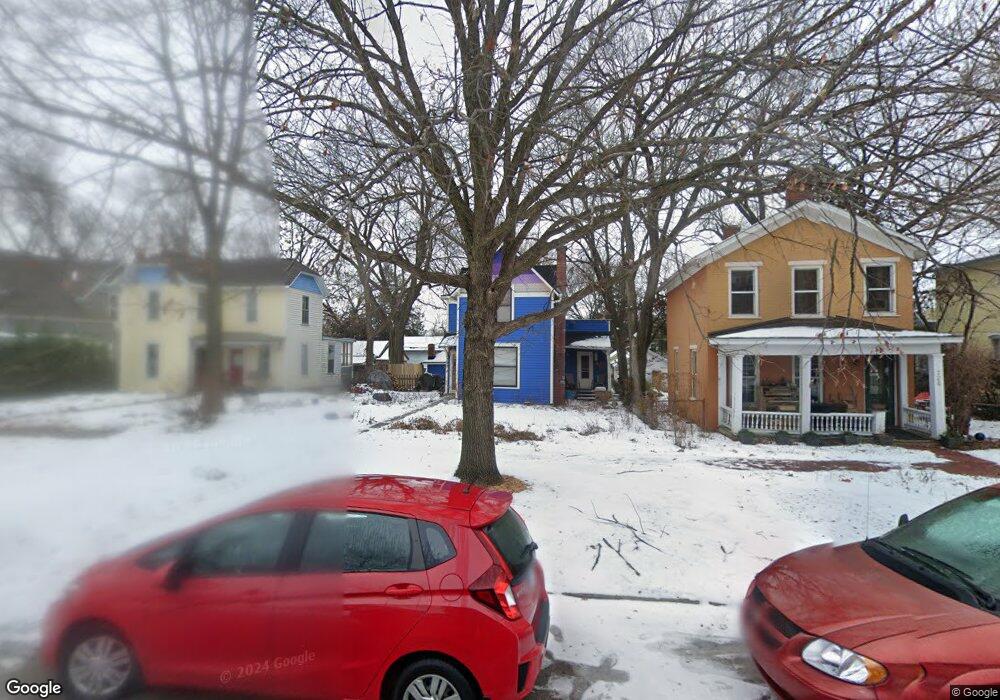
720 Rhode Island St Lawrence, KS 66044
East Lawrence NeighborhoodEstimated Value: $264,595 - $320,000
3
Beds
1
Bath
1,593
Sq Ft
$185/Sq Ft
Est. Value
About This Home
This home is located at 720 Rhode Island St, Lawrence, KS 66044 and is currently estimated at $294,149, approximately $184 per square foot. 720 Rhode Island St is a home located in Douglas County with nearby schools including New York Elementary School, Liberty Memorial Central Middle School, and Lawrence Free State High School.
Ownership History
Date
Name
Owned For
Owner Type
Purchase Details
Closed on
Jan 31, 2008
Sold by
Scales Vicki and Divney James
Bought by
Johnson Paula Rae and Tolbert Elizabeth F
Current Estimated Value
Home Financials for this Owner
Home Financials are based on the most recent Mortgage that was taken out on this home.
Original Mortgage
$120,000
Outstanding Balance
$74,336
Interest Rate
5.72%
Mortgage Type
Purchase Money Mortgage
Estimated Equity
$219,813
Create a Home Valuation Report for This Property
The Home Valuation Report is an in-depth analysis detailing your home's value as well as a comparison with similar homes in the area
Home Values in the Area
Average Home Value in this Area
Purchase History
| Date | Buyer | Sale Price | Title Company |
|---|---|---|---|
| Johnson Paula Rae | -- | First American Title |
Source: Public Records
Mortgage History
| Date | Status | Borrower | Loan Amount |
|---|---|---|---|
| Open | Johnson Paula Rae | $120,000 |
Source: Public Records
Tax History Compared to Growth
Tax History
| Year | Tax Paid | Tax Assessment Tax Assessment Total Assessment is a certain percentage of the fair market value that is determined by local assessors to be the total taxable value of land and additions on the property. | Land | Improvement |
|---|---|---|---|---|
| 2025 | $2,981 | $26,588 | $13,800 | $12,788 |
| 2024 | $2,981 | $24,576 | $10,120 | $14,456 |
| 2023 | $3,093 | $24,323 | $8,625 | $15,698 |
| 2022 | $2,839 | $22,202 | $8,625 | $13,577 |
| 2021 | $2,192 | $16,572 | $6,900 | $9,672 |
| 2020 | $2,114 | $16,072 | $6,900 | $9,172 |
| 2019 | $2,009 | $15,306 | $6,672 | $8,634 |
| 2018 | $1,918 | $14,525 | $6,324 | $8,201 |
| 2017 | $1,928 | $14,433 | $6,324 | $8,109 |
| 2016 | $1,820 | $14,249 | $4,598 | $9,651 |
| 2015 | -- | $15,226 | $4,598 | $10,628 |
| 2014 | -- | $14,778 | $4,598 | $10,180 |
Source: Public Records
Map
Nearby Homes
- 627 Connecticut St
- 940 Connecticut St
- 916 Pennsylvania St
- 603 Ohio St
- 728 Indiana St
- 734 Indiana St
- 1111 New Jersey St
- 615 Indiana St
- 1141 Connecticut St
- 909 W 6th St
- 451 Perry St
- 1300 New York St Unit A
- 1243 Delaware St Unit B
- 817 Maine St
- 1321 Pennsylvania St
- 1320 Pennsylvania St Unit apartment above gara
- 1320 Pennsylvania St
- 1346 Vermont St
- 310 Funston Ave
- 0 Delaware St
- 716 Rhode Island St
- 724 Rhode Island St
- 714 Rhode Island St
- 712 Rhode Island St
- 717 Connecticut St
- 725 Connecticut St
- 732 Rhode Island St
- 713 Connecticut St
- 729 Connecticut St
- 711 Connecticut St
- 737 Connecticut St
- 739 Connecticut St
- 705 Connecticut St
- 305 E 7th St
- 308 E 8th St
- 741 Connecticut St
- 730 New Hampshire St Unit 3H
- 730 New Hampshire St Unit 5D
- 730 New Hampshire St Unit 3C
- 730 New Hampshire St