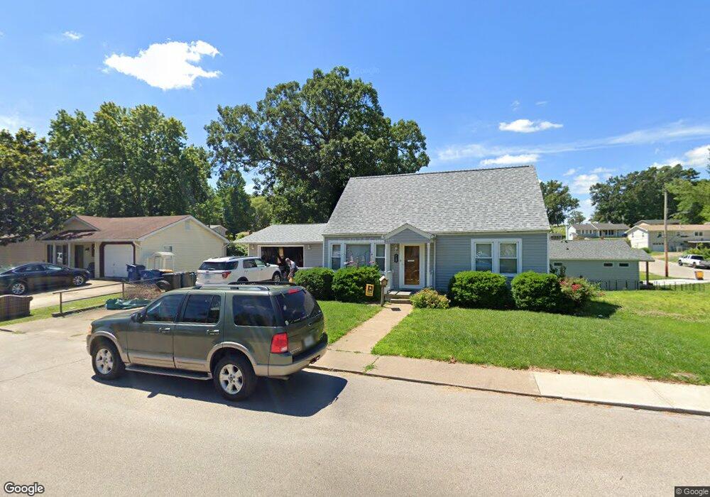
720 S 2nd St Festus, MO 63028
Festus/Crystal City NeighborhoodEstimated Value: $154,526 - $200,000
Studio
1
Bath
892
Sq Ft
$202/Sq Ft
Est. Value
About This Home
This home is located at 720 S 2nd St, Festus, MO 63028 and is currently estimated at $180,382, approximately $202 per square foot. 720 S 2nd St is a home located in Jefferson County with nearby schools including Festus Elementary School, Festus Intermediate School, and Festus Middle School.
Ownership History
Date
Name
Owned For
Owner Type
Purchase Details
Closed on
Mar 31, 1997
Sold by
Ann Bergmeyer Mary and Ann Mary Ann
Bought by
Potratz Mark S and Potratz Brenda L
Current Estimated Value
Home Financials for this Owner
Home Financials are based on the most recent Mortgage that was taken out on this home.
Original Mortgage
$76,500
Outstanding Balance
$9,203
Interest Rate
7.65%
Mortgage Type
VA
Estimated Equity
$171,179
Create a Home Valuation Report for This Property
The Home Valuation Report is an in-depth analysis detailing your home's value as well as a comparison with similar homes in the area
Home Values in the Area
Average Home Value in this Area
Purchase History
| Date | Buyer | Sale Price | Title Company |
|---|---|---|---|
| Potratz Mark S | $75,000 | -- |
Source: Public Records
Mortgage History
| Date | Status | Borrower | Loan Amount |
|---|---|---|---|
| Open | Potratz Mark S | $76,500 |
Source: Public Records
Tax History
| Year | Tax Paid | Tax Assessment Tax Assessment Total Assessment is a certain percentage of the fair market value that is determined by local assessors to be the total taxable value of land and additions on the property. | Land | Improvement |
|---|---|---|---|---|
| 2025 | $872 | $17,000 | $1,800 | $15,200 |
| 2024 | $872 | $15,400 | $1,800 | $13,600 |
| 2023 | $872 | $14,700 | $1,800 | $12,900 |
| 2022 | $828 | $14,700 | $1,800 | $12,900 |
| 2021 | $829 | $14,700 | $1,800 | $12,900 |
| 2020 | $769 | $12,800 | $1,400 | $11,400 |
| 2019 | $769 | $12,800 | $1,400 | $11,400 |
| 2018 | $694 | $12,800 | $1,400 | $11,400 |
| 2017 | $693 | $12,800 | $1,400 | $11,400 |
| 2016 | $610 | $11,200 | $1,500 | $9,700 |
Source: Public Records
Map
Nearby Homes
- 947 S 2nd St
- 955 S 3rd St
- 17 Ash Ct
- 416 Russell Ave
- 518 Westwood Place
- 617 N 6th St
- 621 Westwood Dr S Unit A
- 1206 N 3rd St
- 0 Tbb Birchwood Overlook -Pin Oa Unit MAR24022705
- 1114 N 5th St
- 725 Woodrow Ave
- 000 U S Highway 67
- 202 Sunshine Dr
- 601 Warne St
- 807 Huber St
- 813 American Legion Dr
- 912 Parc Central Dr
- 105 Ozark Dr
- 1325 Melvin Dr
- 707 Jerome Dr
- 232 Bailey Station Lot
- 238 Bailey Station Charlestown Lot
- 716 S 2nd St
- 710 S 2nd St
- 208 Belle Ave
- 239 Bailey Station Charlestown Lot
- 245 Bailey Station Charleston Lot
- 207 Belle Ave
- 802 S 2nd St
- 725 Locust St
- 118 Belle Ave
- 721 Locust St
- 711 S 2nd St
- 729 Locust St
- 166 Bailey Station Ashbury Lot
- 806 S 2nd St
- 717 Locust St
- 709 S 2nd St
- 706 S 2nd St
- 165 Bailey Station Hawthorne Lot
Your Personal Tour Guide
Ask me questions while you tour the home.