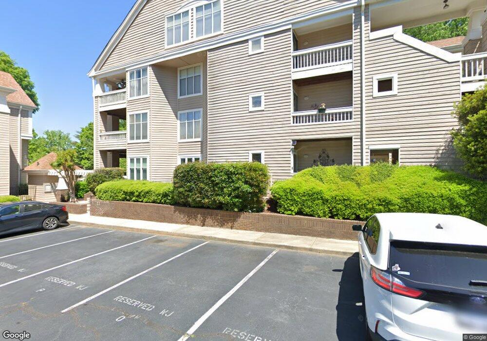
720 Southwest Dr Unit 20 Davidson, NC 28036
Estimated Value: $387,000 - $470,000
2
Beds
2
Baths
1,004
Sq Ft
$431/Sq Ft
Est. Value
About This Home
This home is located at 720 Southwest Dr Unit 20, Davidson, NC 28036 and is currently estimated at $432,487, approximately $430 per square foot. 720 Southwest Dr Unit 20 is a home located in Mecklenburg County with nearby schools including Davidson Elementary School, William Amos Hough High School, and Davidson Day School.
Ownership History
Date
Name
Owned For
Owner Type
Purchase Details
Closed on
Aug 11, 2003
Sold by
Beeson Donna M
Bought by
Lily May Westendorff Revocable Trust
Current Estimated Value
Purchase Details
Closed on
Dec 3, 1999
Sold by
Carr Kimberly D and Carr Joseph William
Bought by
Beeson Donna M
Home Financials for this Owner
Home Financials are based on the most recent Mortgage that was taken out on this home.
Original Mortgage
$110,500
Interest Rate
7.94%
Mortgage Type
Purchase Money Mortgage
Create a Home Valuation Report for This Property
The Home Valuation Report is an in-depth analysis detailing your home's value as well as a comparison with similar homes in the area
Home Values in the Area
Average Home Value in this Area
Purchase History
| Date | Buyer | Sale Price | Title Company |
|---|---|---|---|
| Lily May Westendorff Revocable Trust | $137,500 | -- | |
| Beeson Donna M | $130,000 | -- |
Source: Public Records
Mortgage History
| Date | Status | Borrower | Loan Amount |
|---|---|---|---|
| Previous Owner | Beeson Donna M | $110,500 |
Source: Public Records
Tax History
| Year | Tax Paid | Tax Assessment Tax Assessment Total Assessment is a certain percentage of the fair market value that is determined by local assessors to be the total taxable value of land and additions on the property. | Land | Improvement |
|---|---|---|---|---|
| 2025 | $2,750 | $360,525 | -- | $360,525 |
| 2024 | $2,750 | $360,525 | -- | $360,525 |
| 2023 | $1,842 | $360,525 | $0 | $360,525 |
| 2022 | $1,842 | $203,100 | $0 | $203,100 |
| 2021 | $1,941 | $203,100 | $0 | $203,100 |
| 2020 | $1,842 | $203,100 | $0 | $203,100 |
| 2019 | $1,935 | $203,100 | $0 | $203,100 |
| 2018 | $2,409 | $197,900 | $70,000 | $127,900 |
| 2017 | $2,391 | $197,900 | $70,000 | $127,900 |
| 2016 | $2,387 | $197,900 | $70,000 | $127,900 |
| 2015 | $2,384 | $197,900 | $70,000 | $127,900 |
| 2014 | $2,382 | $197,900 | $70,000 | $127,900 |
Source: Public Records
Map
Nearby Homes
- 753 Southwest Dr Unit 4
- 754 Southwest Dr Unit 5
- 854 Southwest Dr Unit 54
- 765 Southwest Dr Unit 15
- 633 Portside Dr
- 1113 Torrence Cir Unit 61
- 1125 Torrence Cir Unit 67
- 1331 Torrence Cir Unit 1331
- 706 Northeast Dr
- 714 Northeast Dr Unit 44
- 714 Northeast Dr Unit 53
- 930 Jetton St Unit 20
- 208 Ambleside Village Ln
- 245 Davidson Gateway Dr
- 241 Davidson Gateway Dr
- 21037 Norman Shores Dr
- 233 Davidson Gateway Dr
- 229 Davidson Gateway Dr
- Linden 1827L Plan at Davidson Cottages
- Everly 1798L Plan at Davidson Cottages
- 721 Southwest Dr Unit 21
- 719 Southwest Dr Unit 19
- 729 Southwest Dr
- 722 Southwest Dr Unit 22
- 727 Southwest Dr Unit 27
- 728 Southwest Dr
- 724 Southwest Dr
- 724 Southwest Dr
- 724 Southwest Dr Unit 24
- 726 Southwest Dr Unit 26
- 730 Southwest Dr Unit 30
- 723 Southwest Dr Unit 23
- 726 Southwest Dr Unit 726
- 707 Southwest Dr
- 708 Southwest Dr Unit 8
- 709 Southwest Dr Unit 9
- 709 Southwest Dr Unit 709
- 716 Southwest Dr Unit 16
- 701 Southwest Dr
- 702 Southwest Dr Unit 2
Your Personal Tour Guide
Ask me questions while you tour the home.